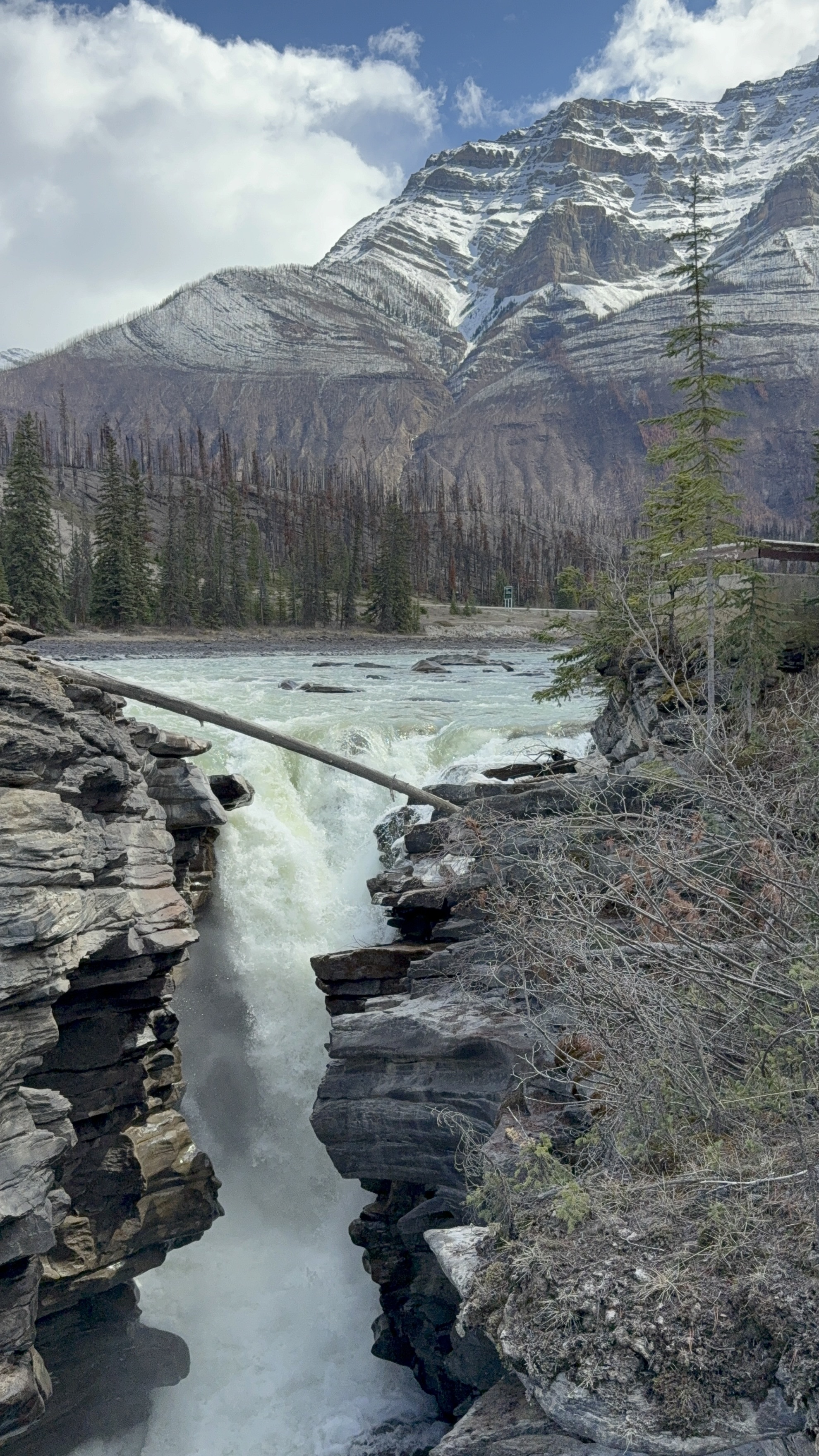
TL:DR Watch the video of photo highlights here. My feelings won’t be hurt if you don’t read all the words here.. My travel journals are mostly to help me remember the trip. I share because I occasionally have people who express interest in hearing what we did and where we went, but I have no expectation of people reading it all.
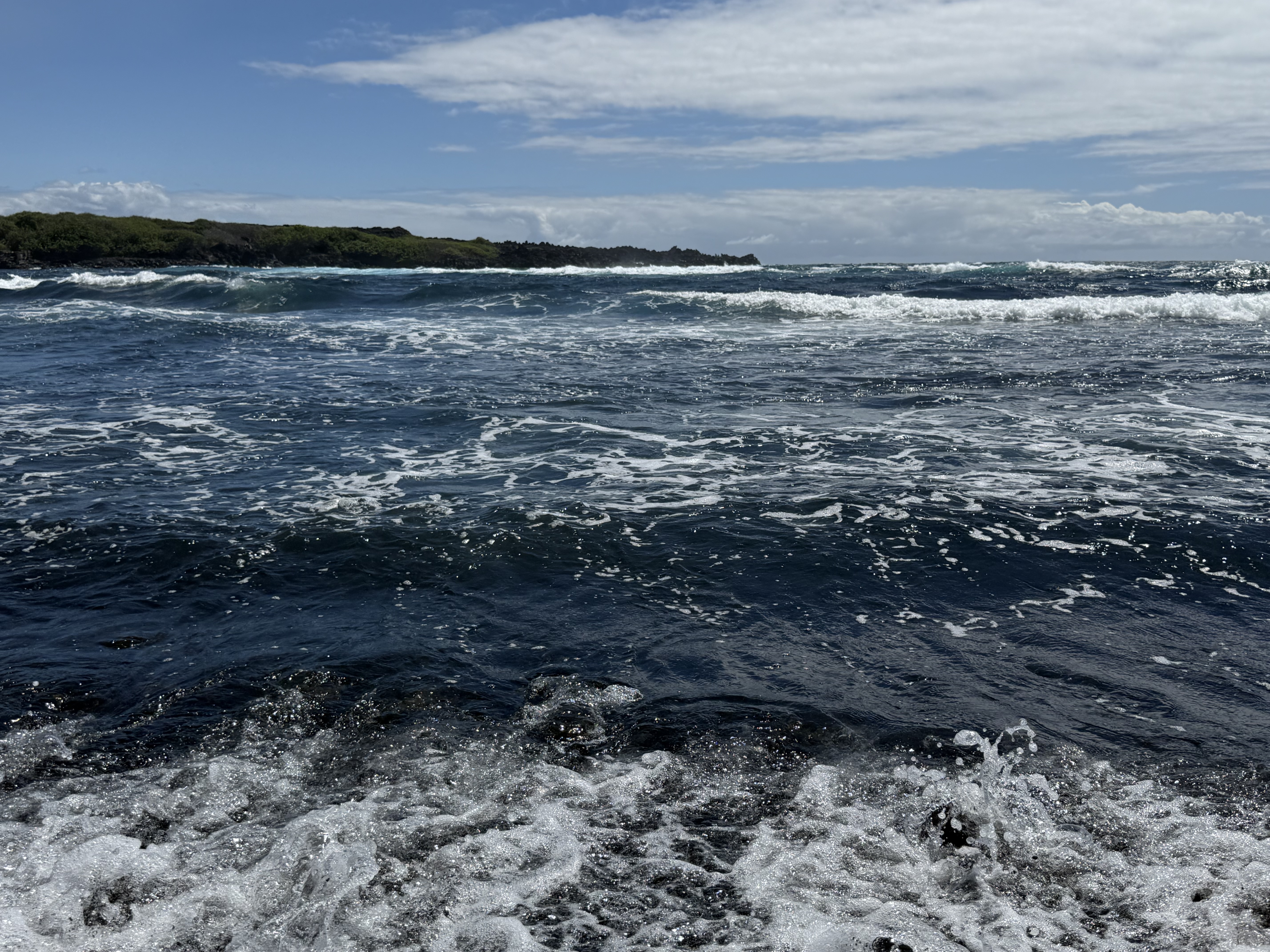
We really enjoy the warm waters and abundant sunshine of a tropical vacation. We have visited all of the major Hawaiian islands – Oahu (2011), Maui (Jon in the 80’s, Jenny 2015), Molokai (2019), Kauai (Jon in the 80’s, and both of us in 2024), as well as the USVI (St. Thomas & St. John, 2023). We decided to make the Big Island of Hawaii our next stop, and plans were set to visit in September 2025 to avoid the high season crowds. In the week before our trip, Hurricane Kiki decided to ramp things up and set course for the island with a potential hit of the Big Island the day before our arrival! We watched the weather reports carefully and investigated the “what if’s” of trip cancellations or modifications. Fortunately, Kiki moved to the northwest and skirted past the islands, leaving behind just some rough waves, rain, and extra humidity and heat. Needless to say, we were relieved to not have to deal with a hurricane. One of the things that stood out during our time on the island was how so many people drove “with aloha.” Many roads are narrow and with blind corners, and with driveways right on those busy roads. Countless times, we encountered people stopping and waiting, waving a vehicle in to the line of cars rather than making them sit and wait for an opening in traffic. It was a refreshing change from the craziness of Washington drivers.
Thursday, September 11, 2025
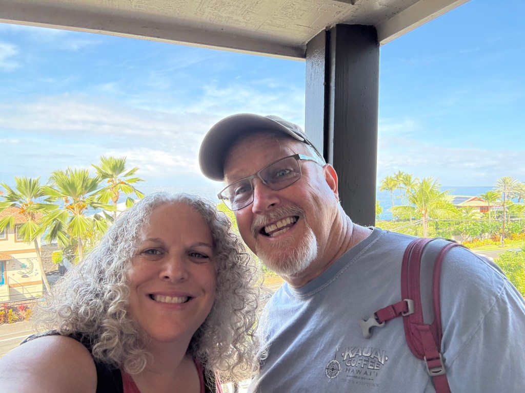
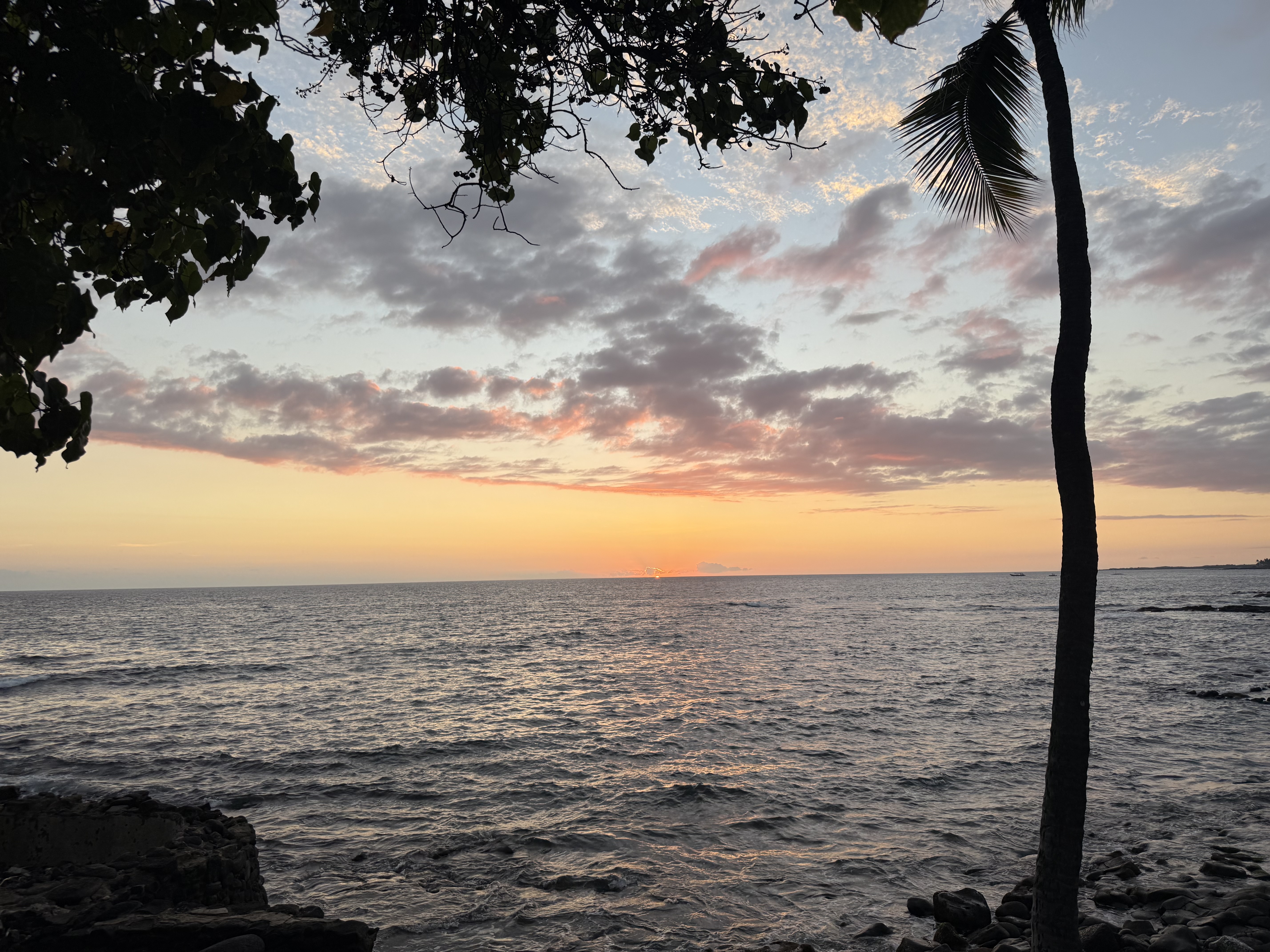
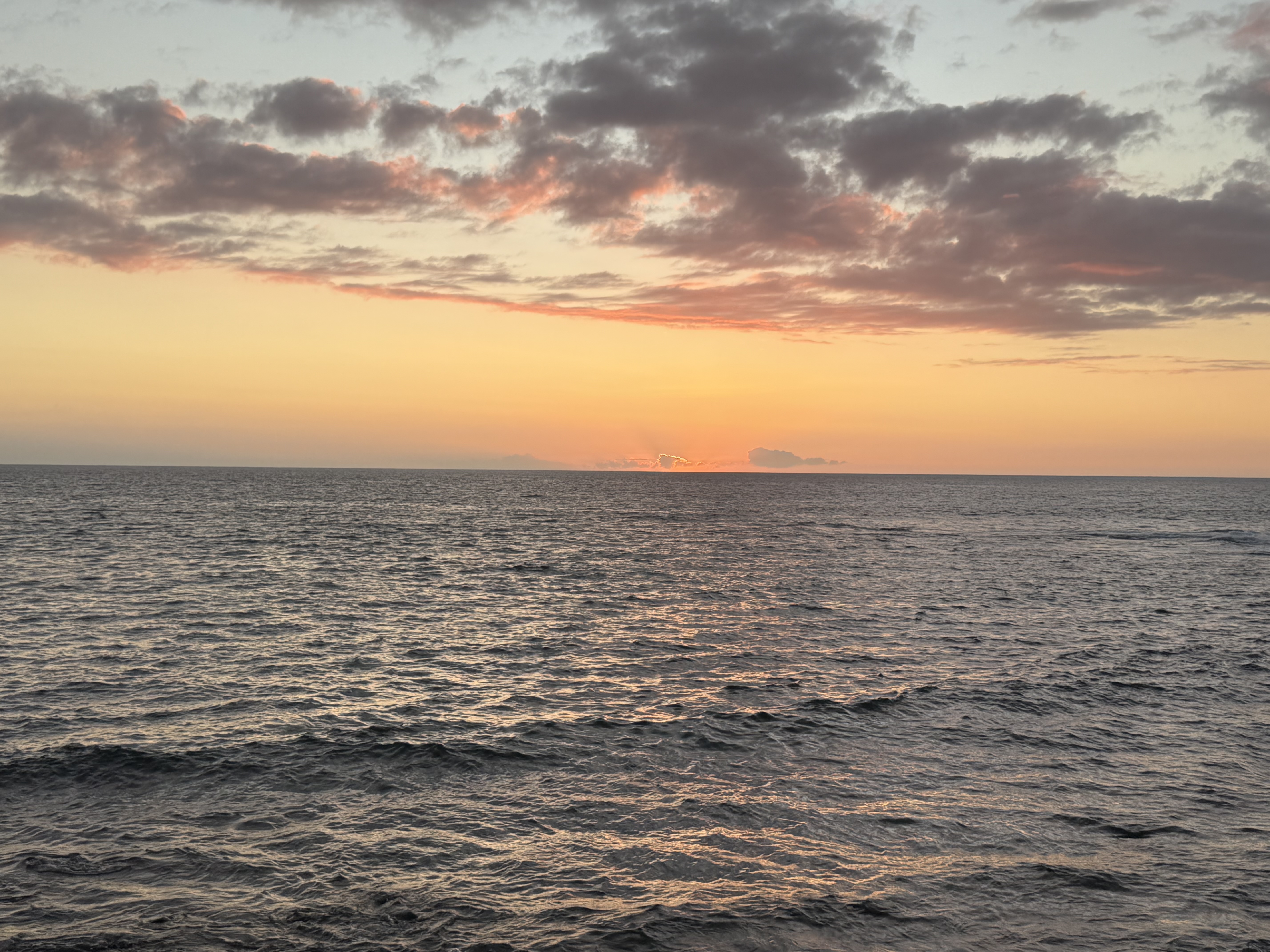
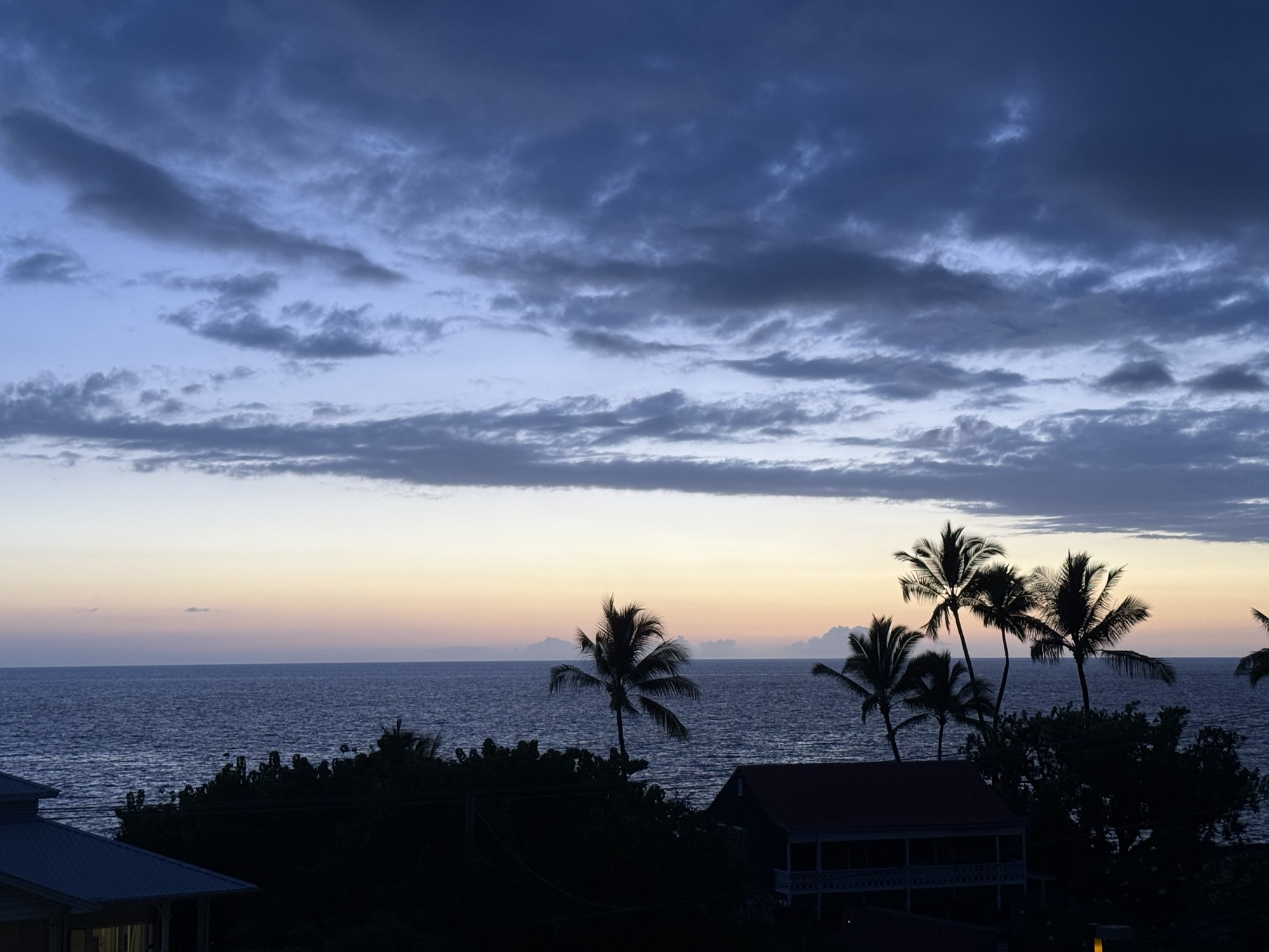
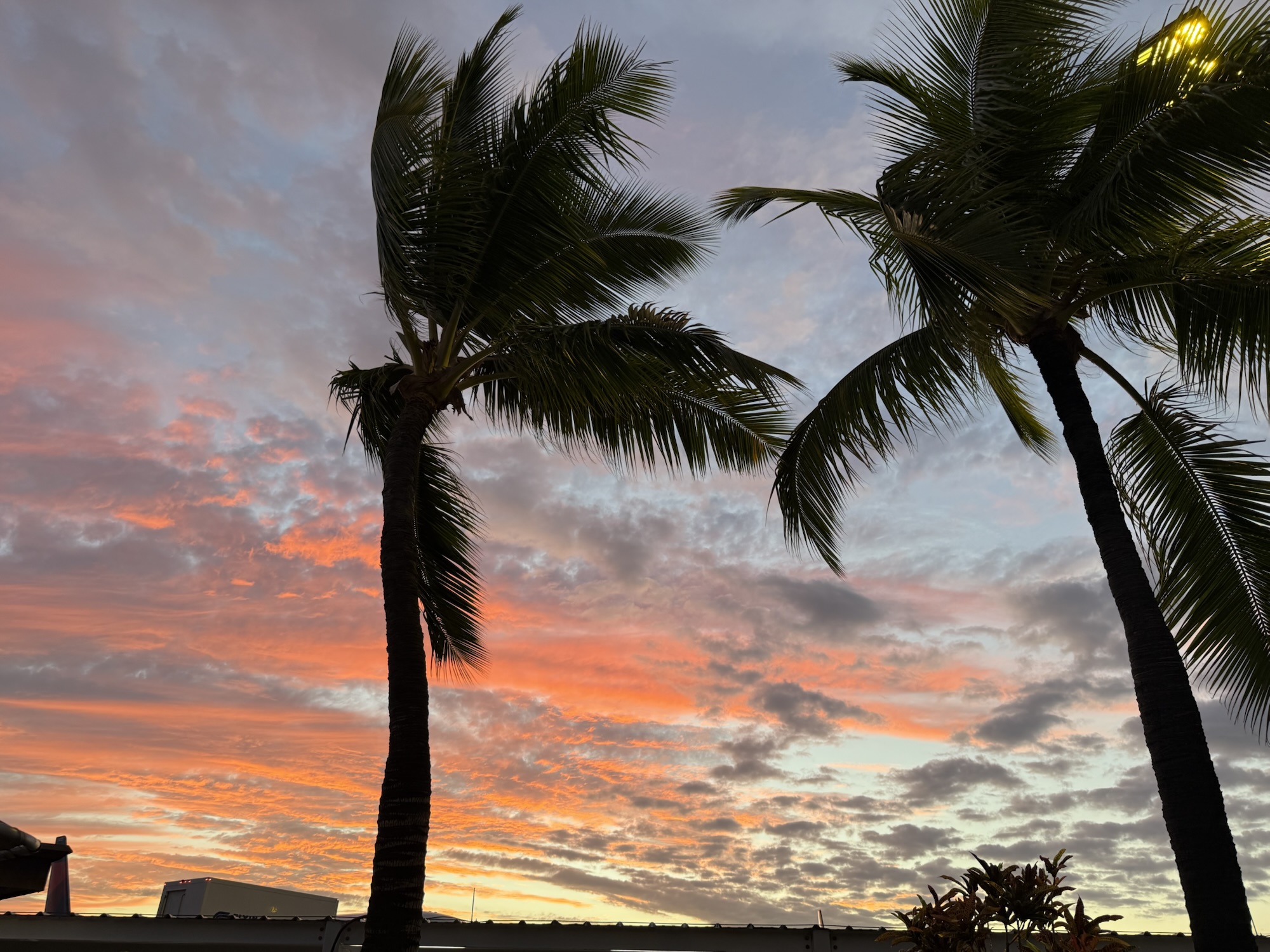
We arrived on Thursday, Sept. 11, at about 4:00 PM HST, after making a connecting flight out of Maui. The weather was hot and humid, but we quickly retrieved our rental vehicle and headed off to find the condo. After checking in, we were delighted to discover that our condo was west-facing, and we would be able to see over the houses across the street to see the sunset over the ocean. Suitcases were unpacked, ice maker was turned on, shorts and sandals were put on, and out the door we went to find something for dinner and to find a grocery store. We ended up having dinner at Papa Kona’s and were fortunate to be seated at a table over looking the shore, and just in time to catch the sunset. We then found a Safeway down the road a couple miles, and stocked up on groceries for breakfasts. By the time we returned to the condo, we were feeling the three hour time difference!
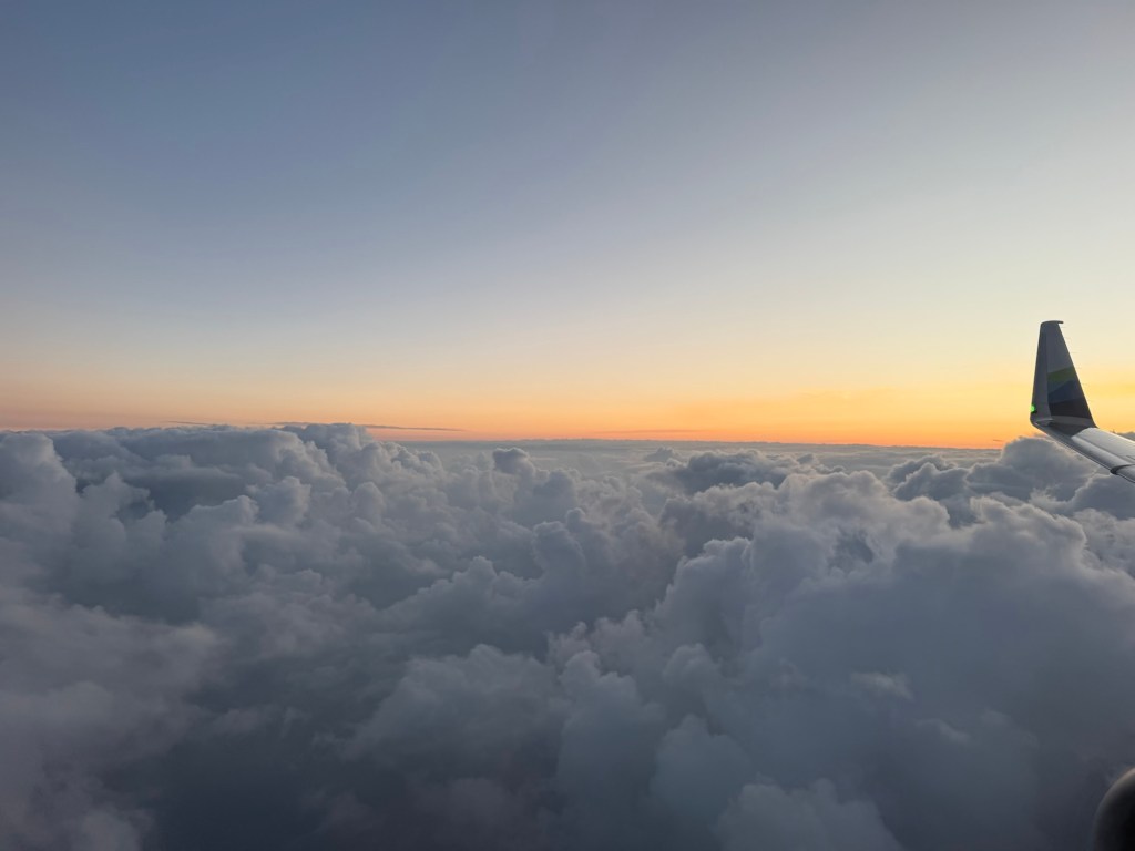

On the plane and headed to the island of Hawaii! 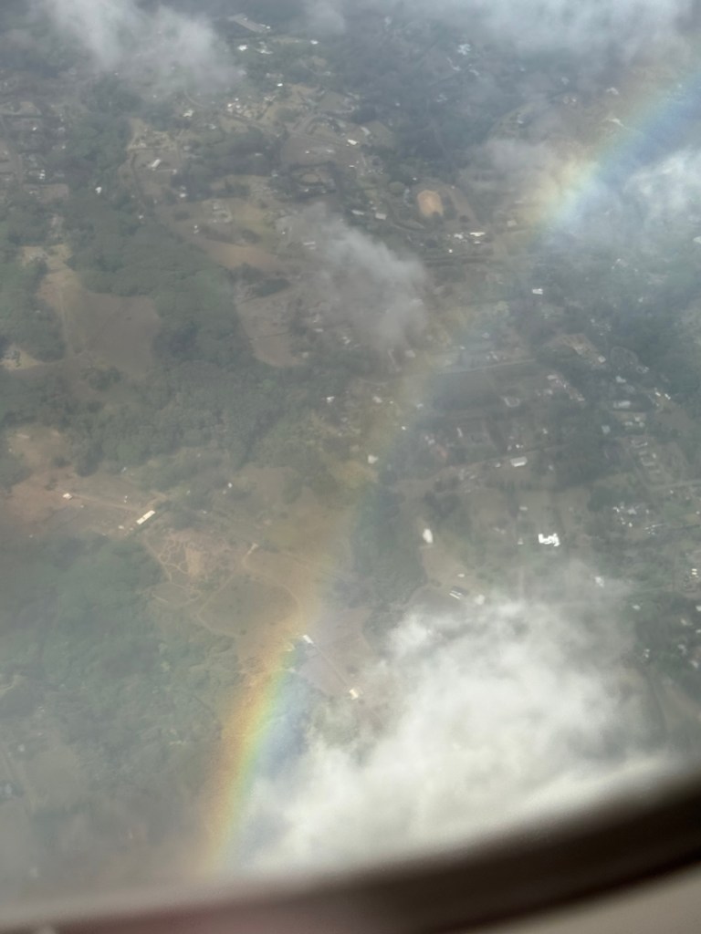
Rainbow over the island as we are landing. 
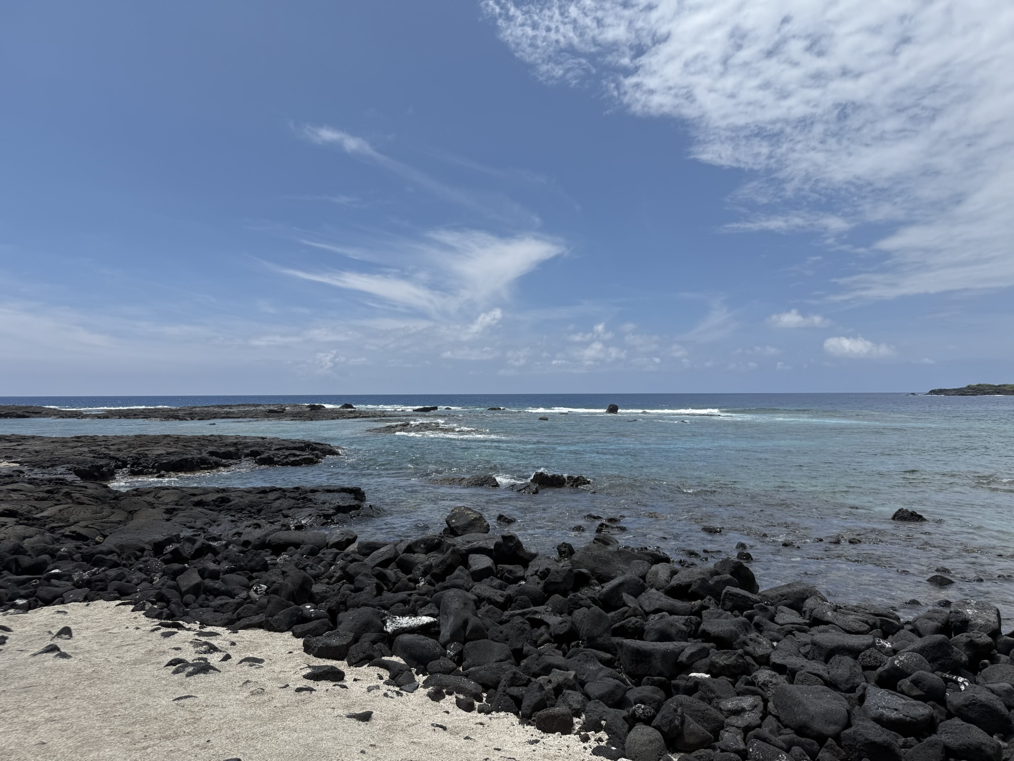
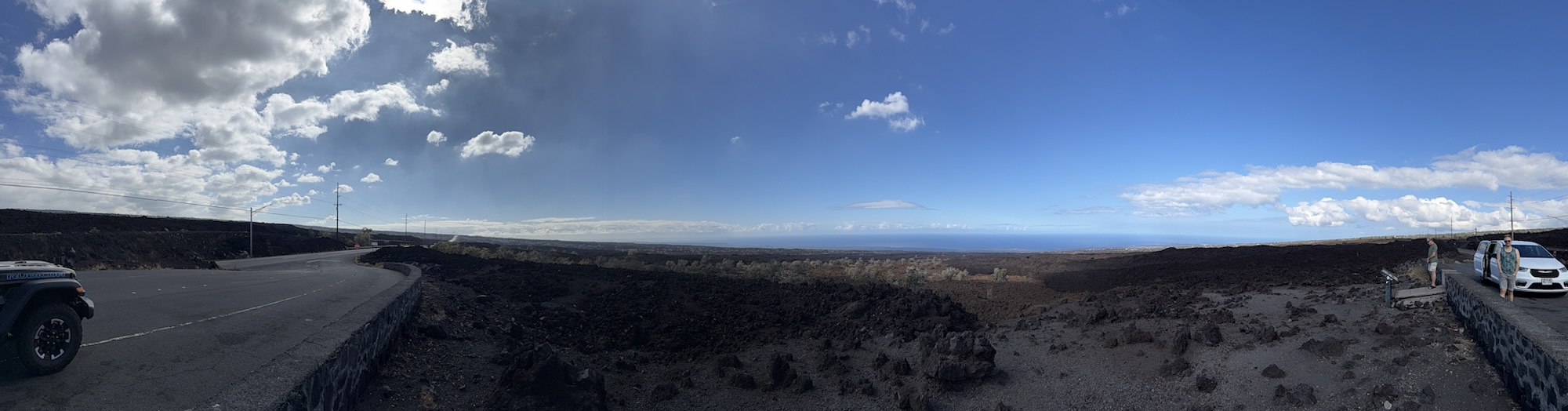
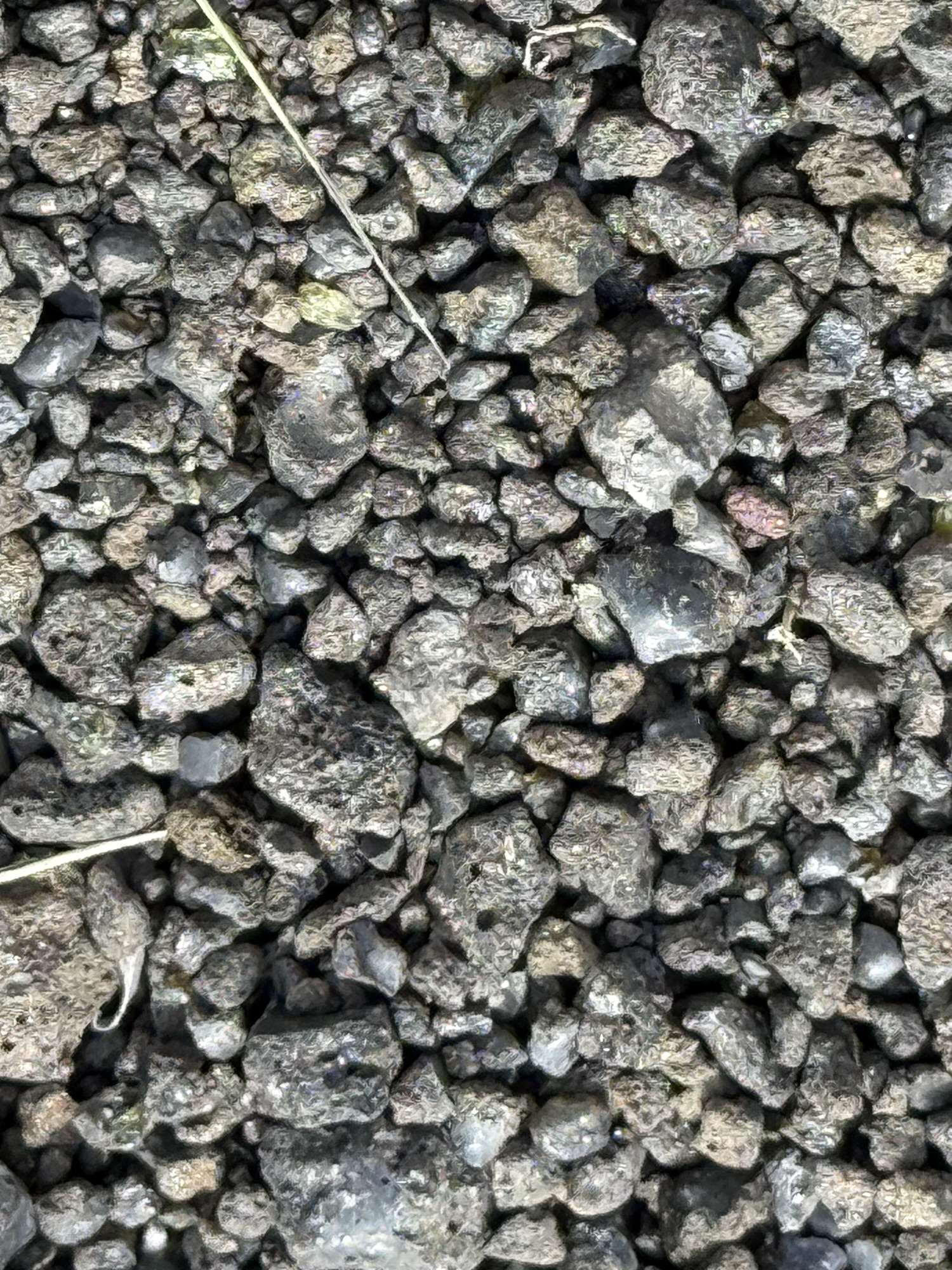
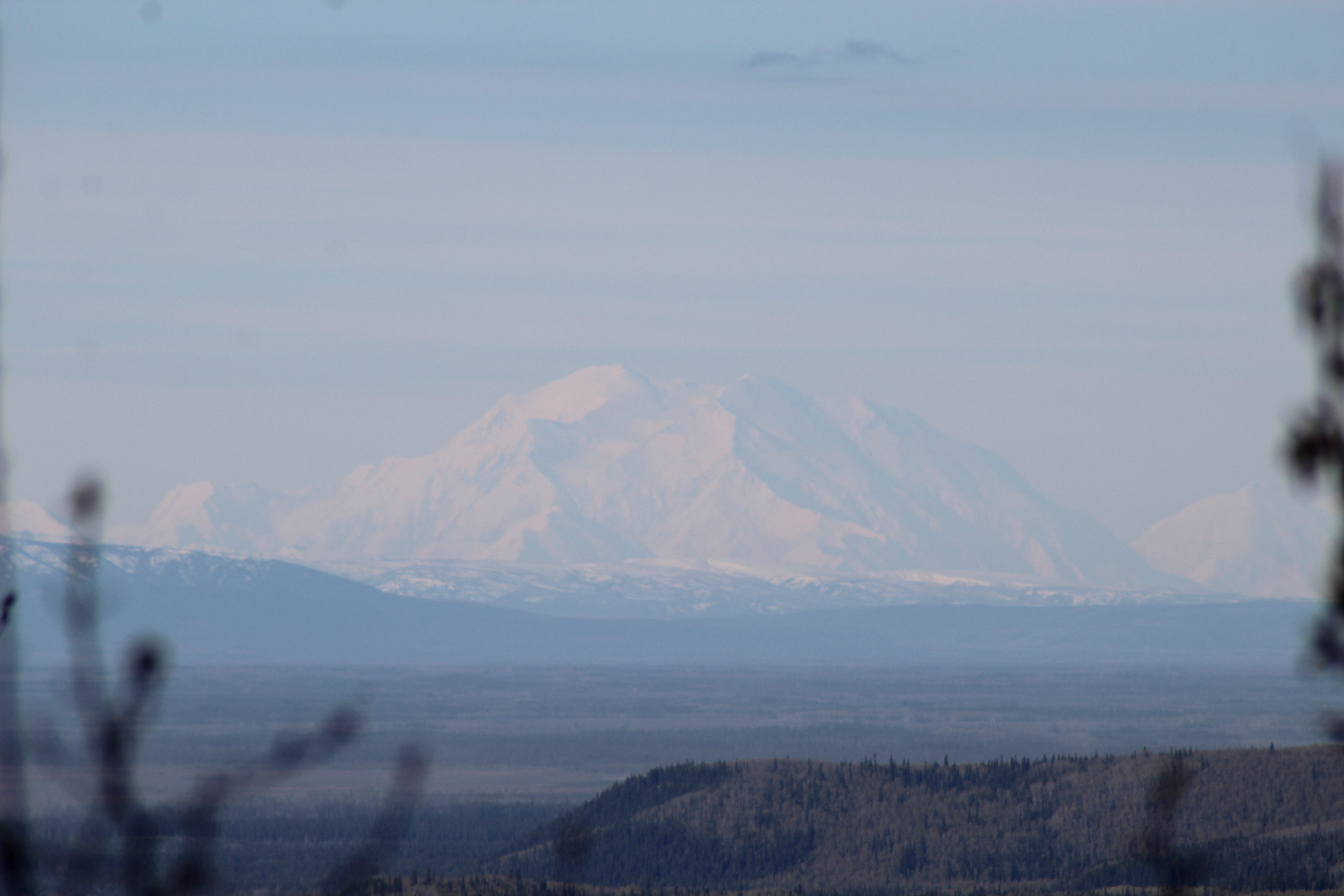
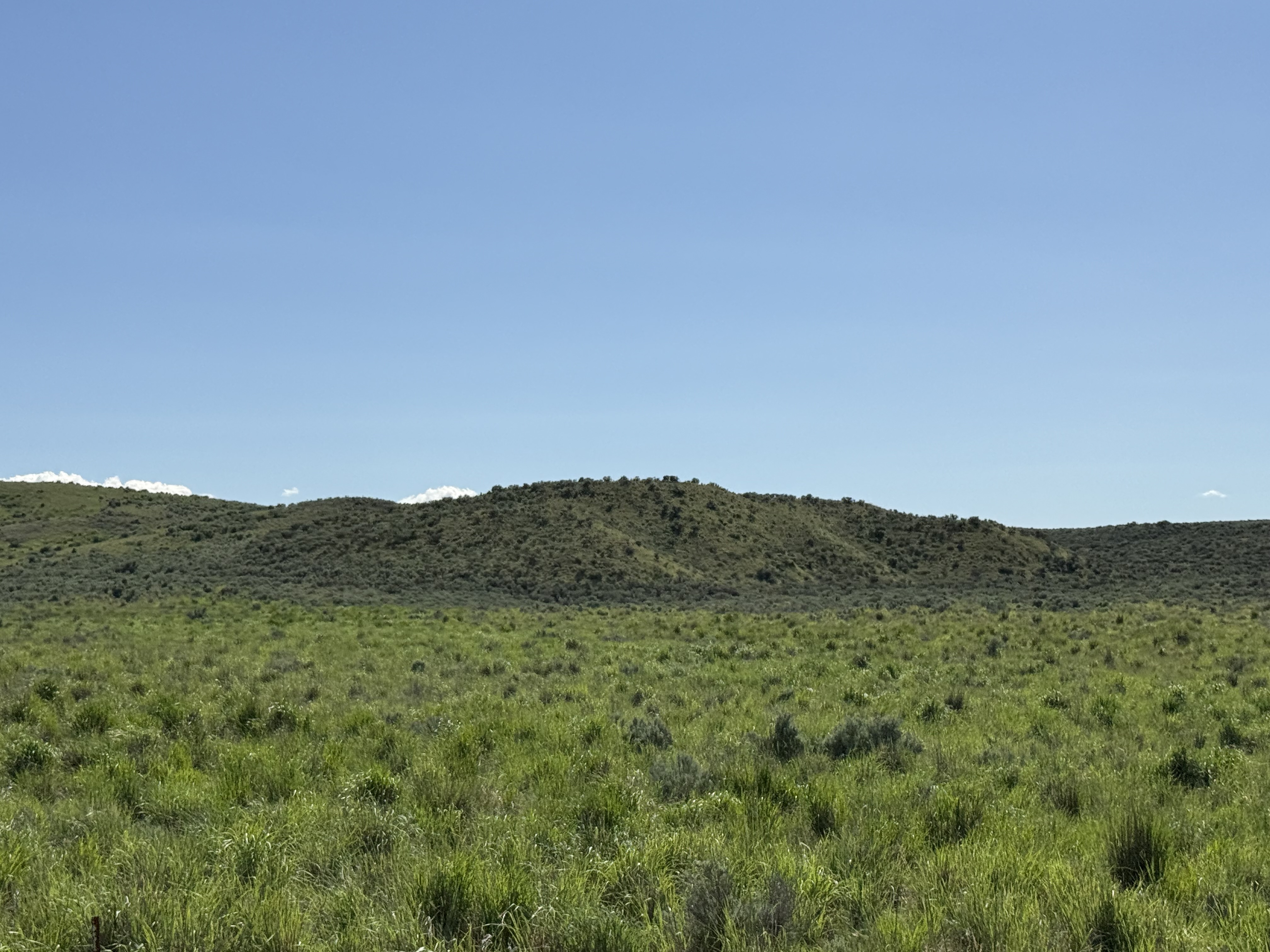
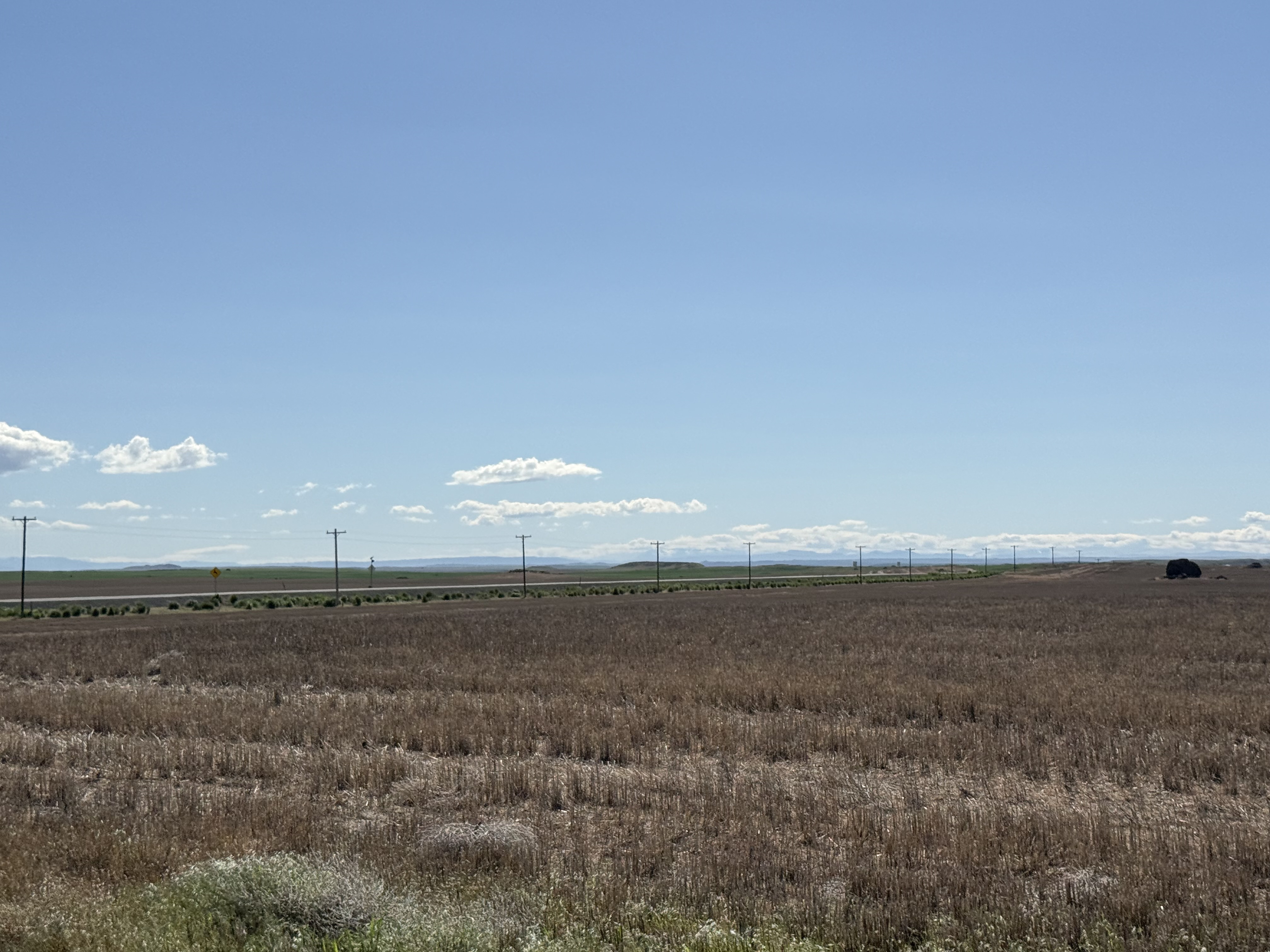
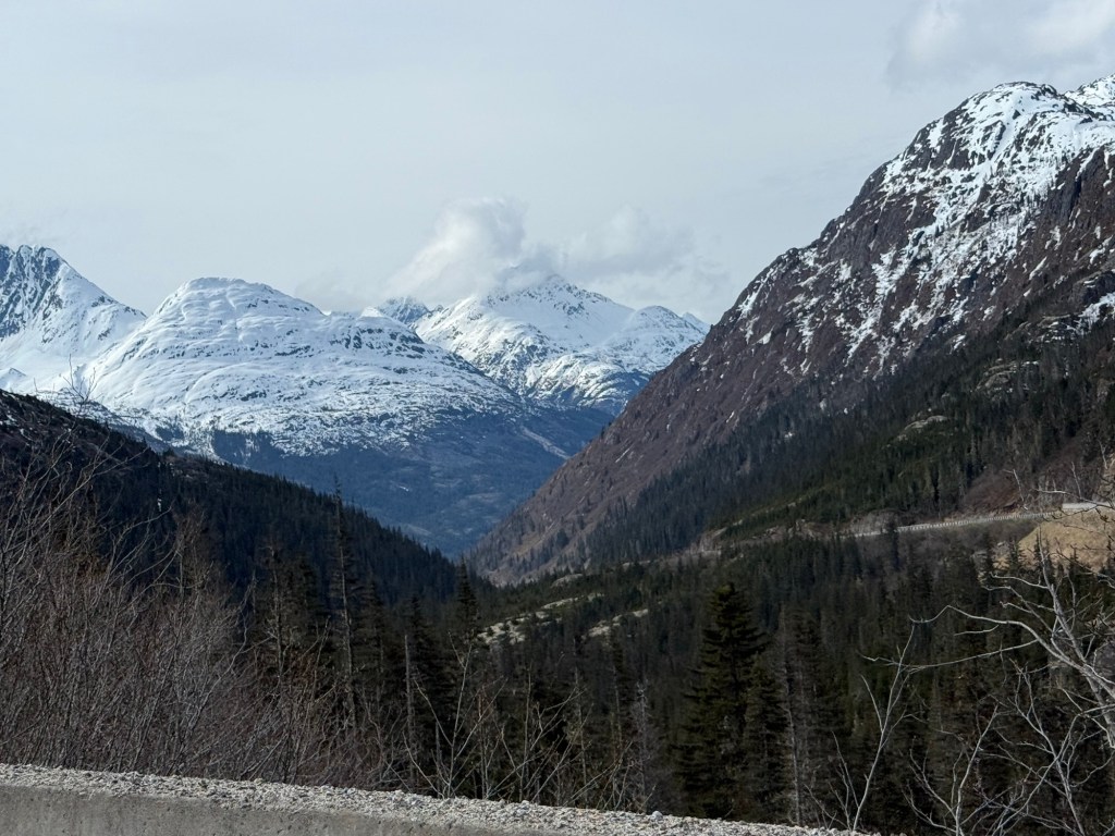
Our first views of the massive lava fields. 
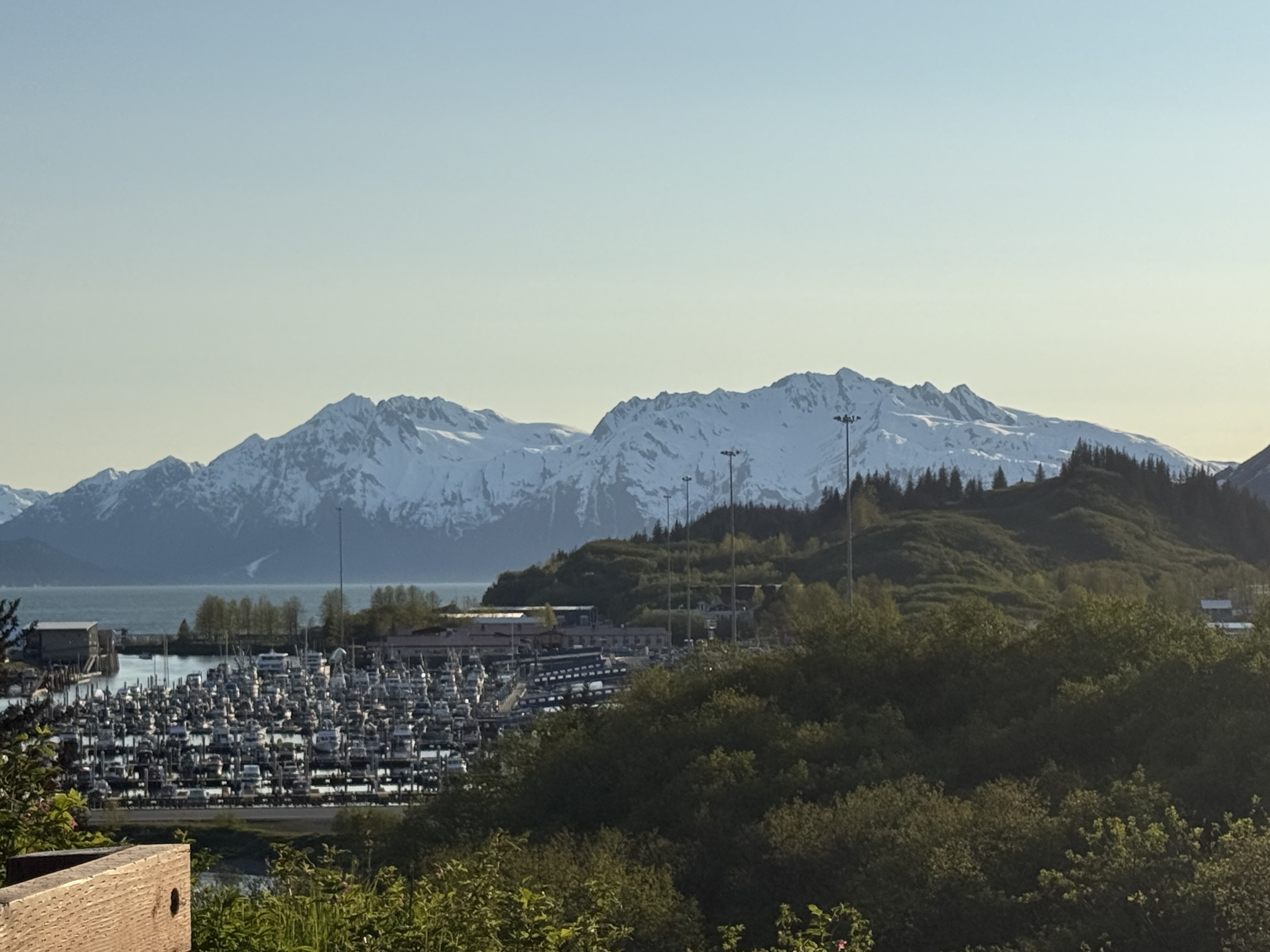
The view from the front balcony of our condo for the week. 
Sunset incoming! 
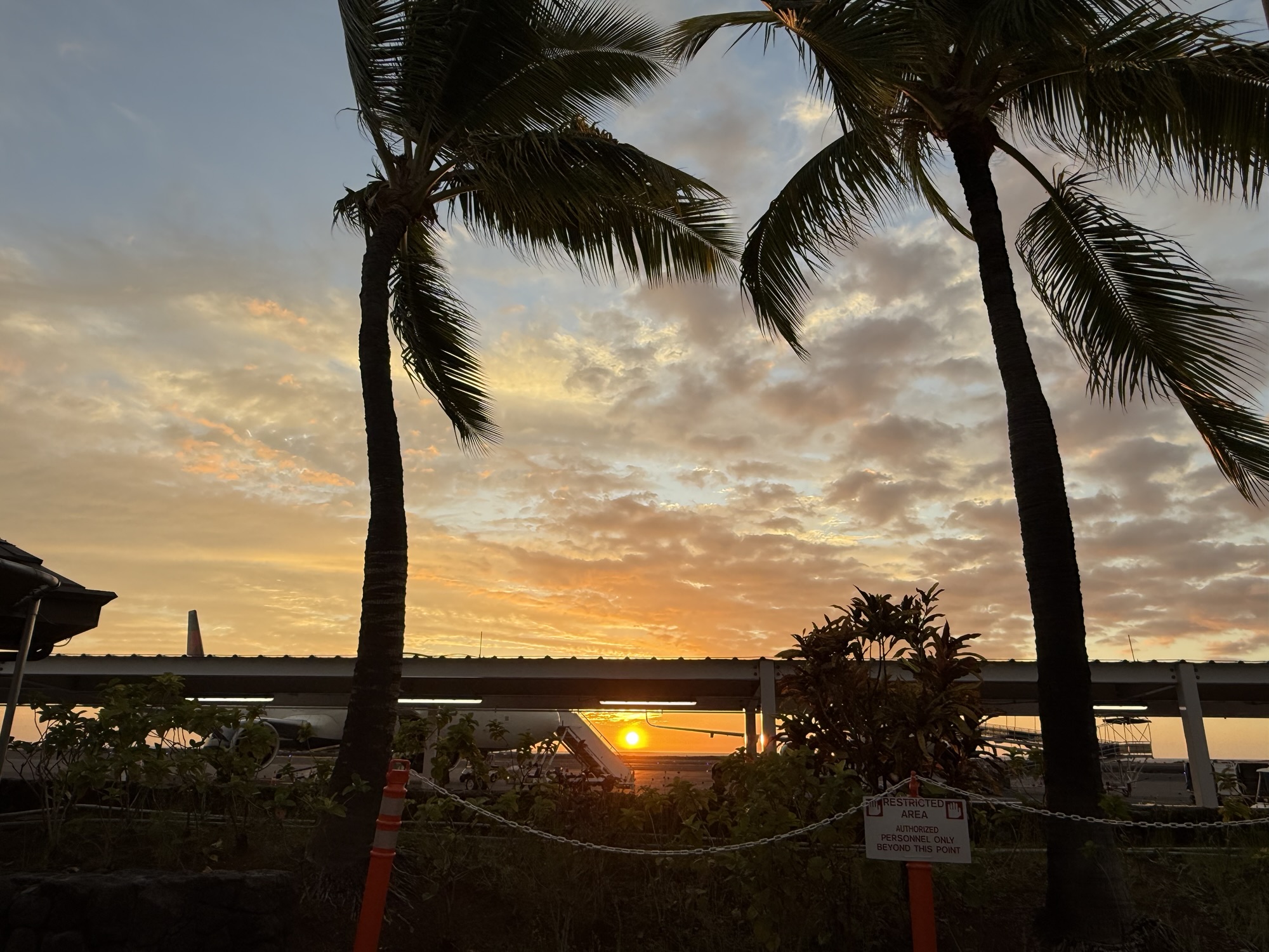
Sunset view of from the restaurant we had dinner at on the first night on island. 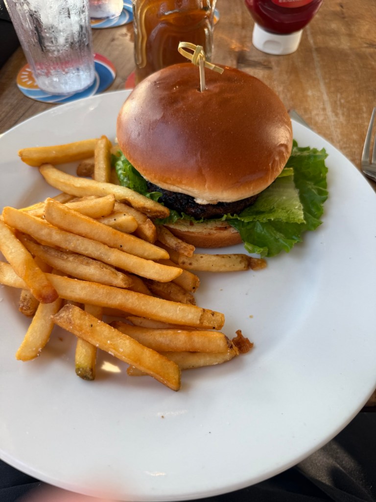
Teriyaki burger and fries for dinner. 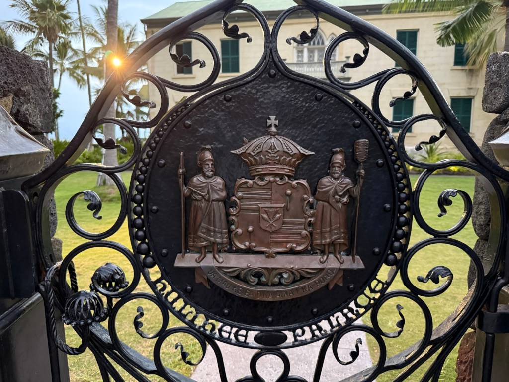
The gate to the Hullhee Palace. Unfortunately the palace wasn’t open for tour. 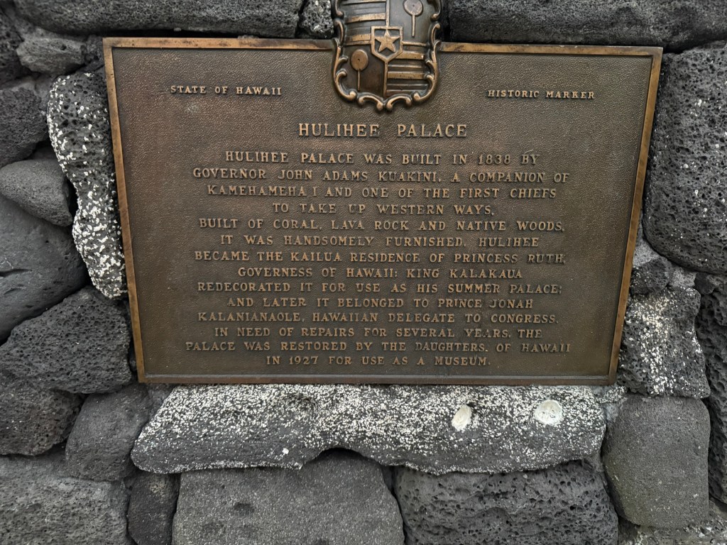
The history of the Hulihee Palace. 
The Hulihee Palace. This residence of the Hawaiian Royals had electricity before the White House did! Friday, September 12, 2025
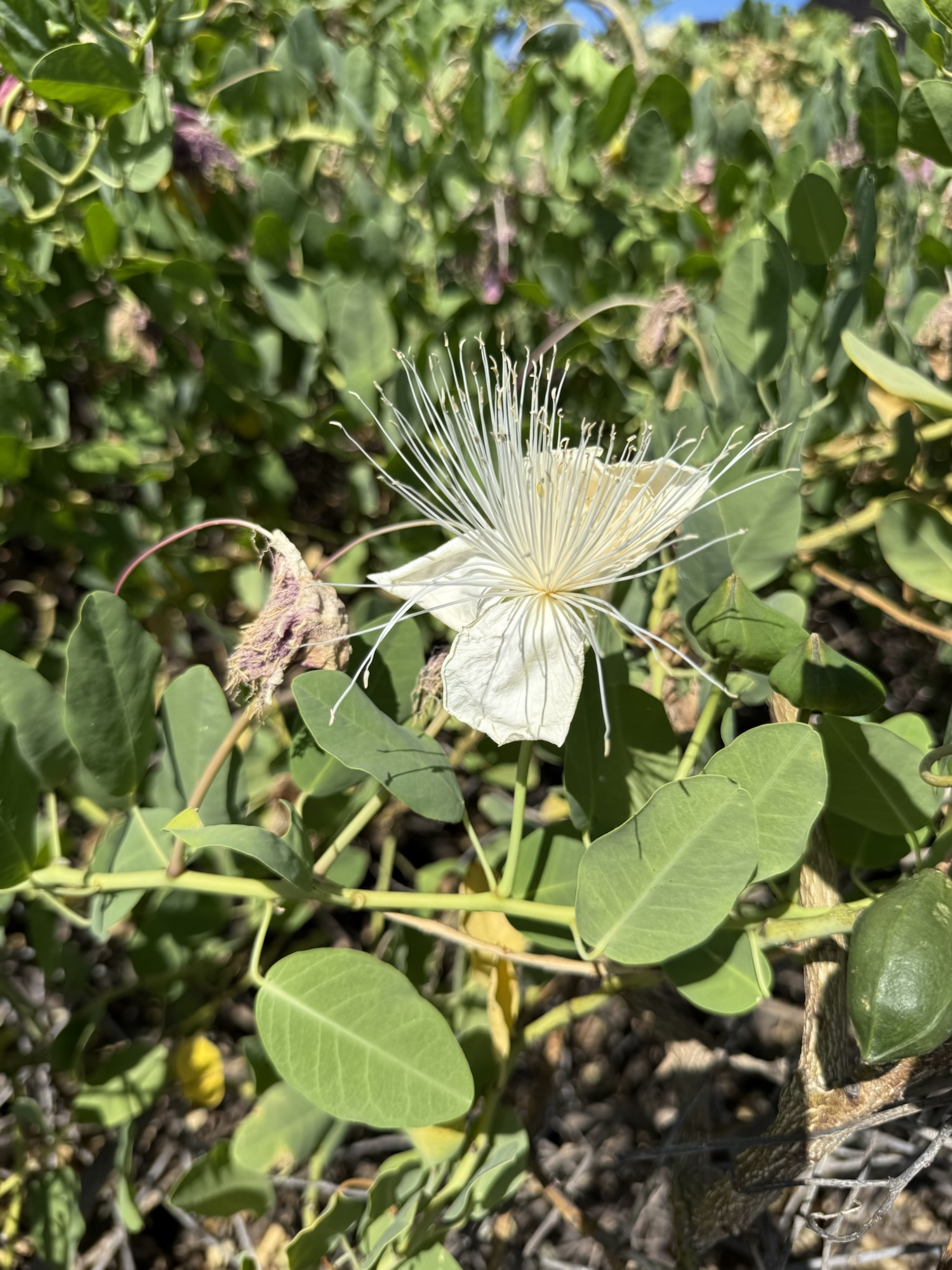
Friday was a busy day! We were up early (thanks time difference!). As we sat on the back balcony overlooking the pool, enjoying our cups of coffee and bagels, we were serenaded by a cacophony of bird song, and the sweet aroma of the abundance of floral blooms in the area. We set our agenda for the day to include visits to the Ho’oulu Community Market at the Outrigger Resort, the Greenwell Farms, the Breadbasket roadside bakery, the Kaloko-Honokohau National Historical Park and the Pu’uhonua O Honaunau National Historical Park, Food Truck Friday, and one of the highlights of the trip – after dark snorkeling with manta rays!
Ho’oulu Community Market
The Ho’oulu Community Market was a fun collection of artists and food vendors. We enjoyed visiting with a gentleman who did some incredible wood carving of traditional Hawaiian cultural symbols, namely honu turtles and tikis. We enjoyed a freshly fried malasadas Portuguese yeast-dough doughnut, as well as the samples of a variety of local honeys from Bee Boys (we came home with a small jar of the white pineapple honey). And we ‘talked story’ with Ofa Oholelei, a local artist who paints traditional Hawaiian petroglyph images on handmade tapa cloth. Tapa is made from the bark of a mulberry or fig tree by beating it with a club or mallet until it is soft and pliable. It has been used over the millennia for a variety of uses, including clothing. Ofa, with help from his family, continues to make tapa in the traditional manner for his artwork.
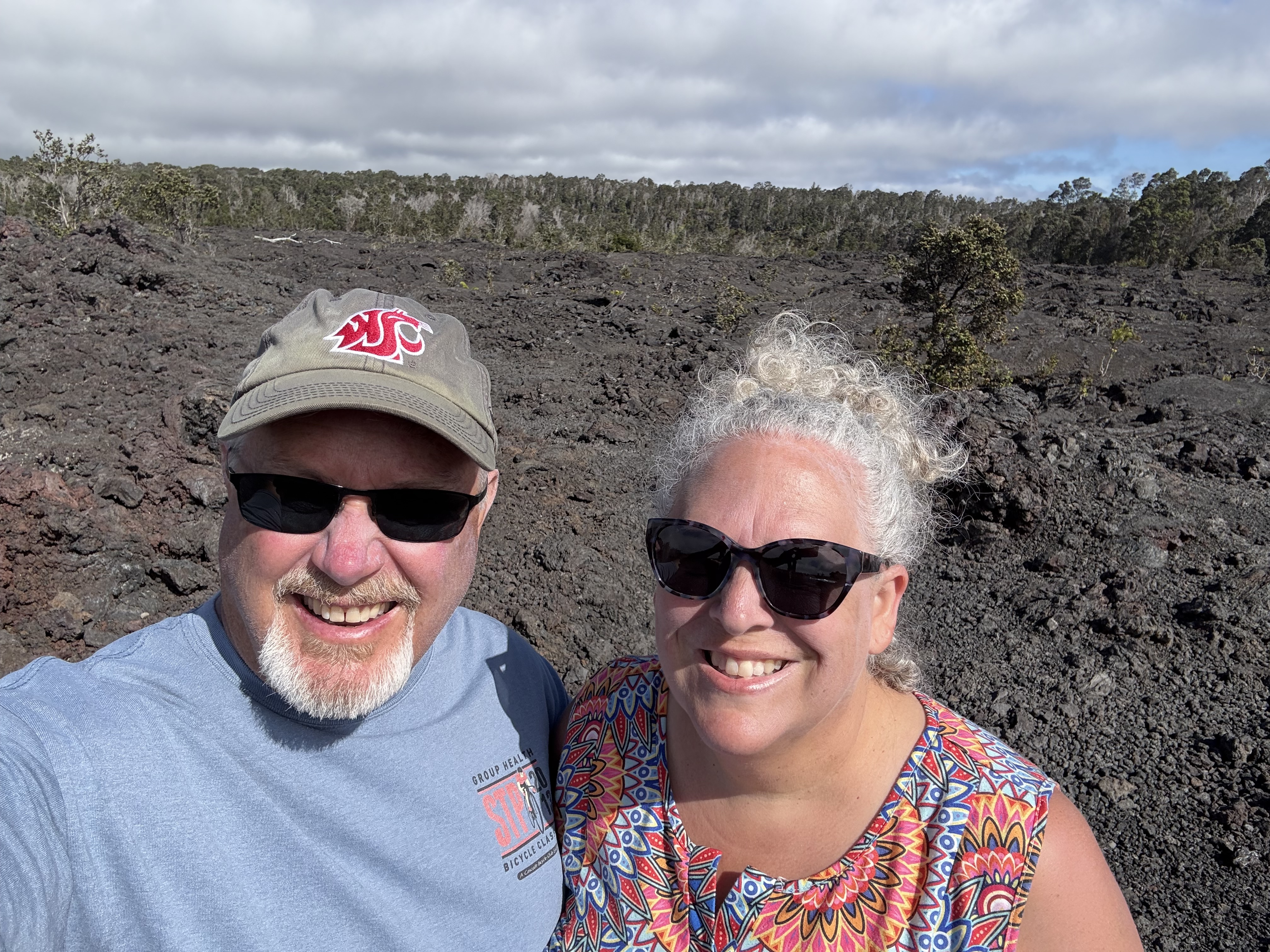
Obligatory selfie as we head for Friday’s adventures! 
Fresh fried malasadas at the Ho’oulu Community Market at the Outrigger Resort. 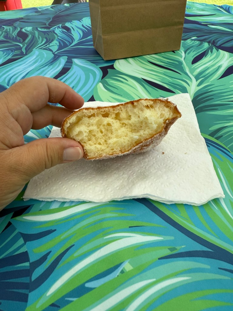
Malasadas are a Portugese yeasted doughnut that is coated in sugar. Sometimes they are filled, but this particular one was not. It was very tasty. 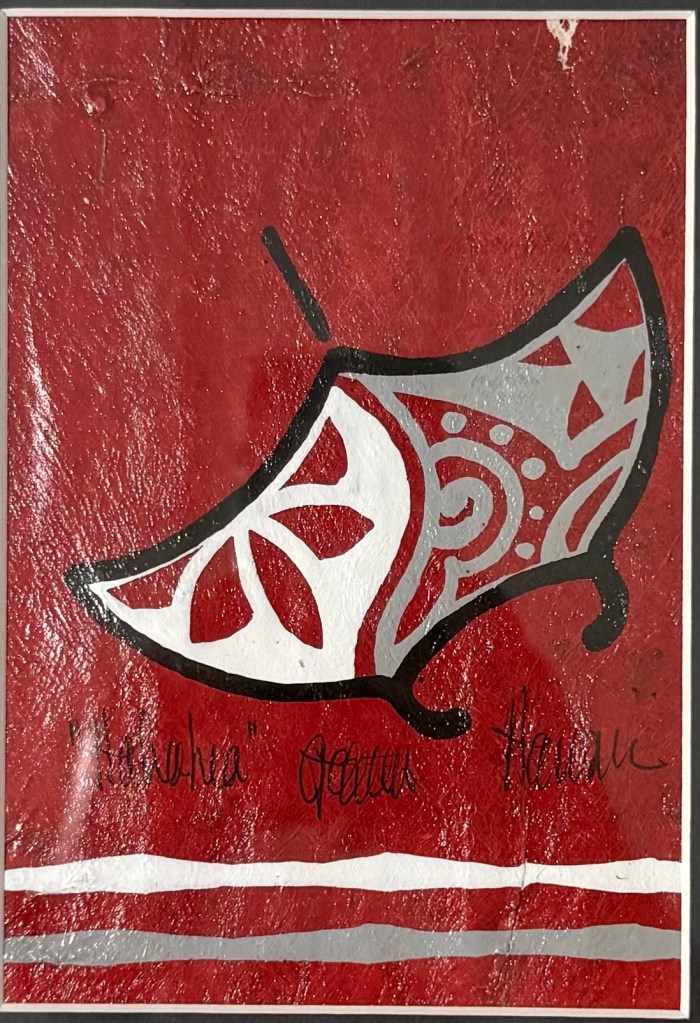
This is the hand painted manta ray tapaglyph we came home with. 
The Ho’oulu Community Market is open Wednesdays and Fridays, and has both artisian and food vendors, along with live music. Greenwell Farms
Greenwell Farms, a coffee plantation, was one of our favorite stops of the day. We participated in one of their complimentary tours of the farm. Our guide, Matt, was exceptional! His knowledge of the process to get from coffee tree to coffee cherry to coffee bean to coffee cup was extensive and was presented in an engaging and entertaining manner. Matt, a retired high school English teacher, taught us also about the farm’s endeavors into growing vanilla, cacao, and peppercorns. We were quite intrigued by the peppercorns, and how the flavor profile changes within a single peppercorn.

The various parts of a coffee cherry. 
Matt from Greenwell Farms was a great tour guide through the coffee fields. He’s a retired high school english teacher from the school down the road, but loves his coffee! He taught us so much about the process of getting a coffee from the tree to the cup. 
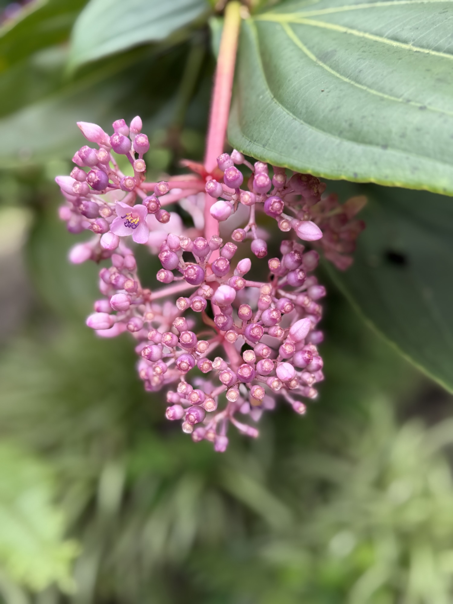
Flowers at the Greenwell Farms. 
Flowers at the Greenwell Farms. 
This is where the processing of the coffee cherries begins! 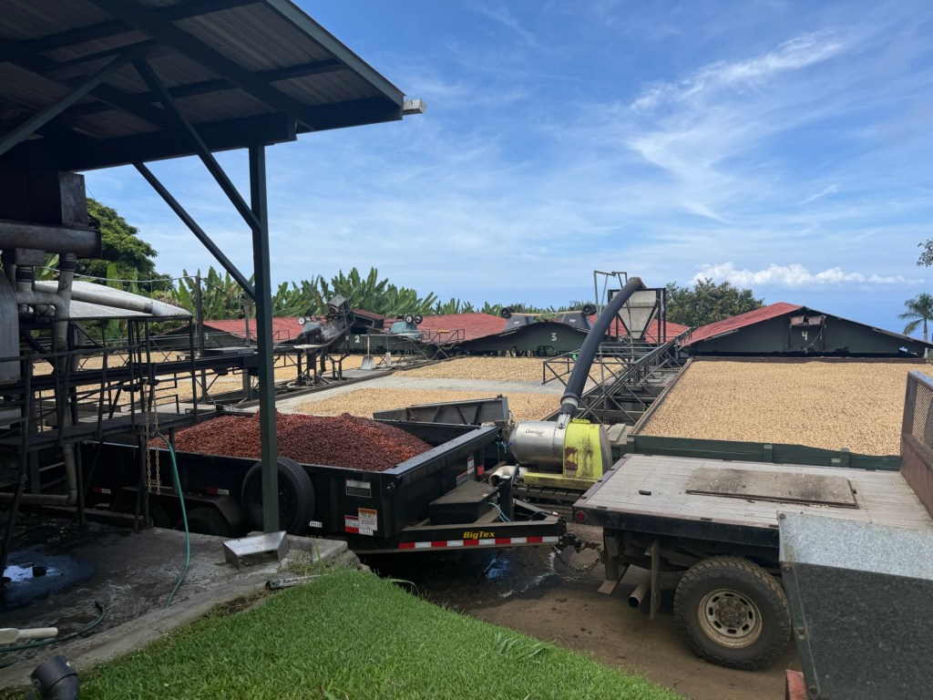
The outside hull of the coffee cherry (the red stuff in the trailer to the left) is turned into compost and used at the farm. 
The shelled coffee cherries are initially sun dried on a large outdoor platform. They are raked regularly to help uniformly dry the cherries. However, the Kona coffee belt is prone to rain (which is counterproductive to drying). So, the beans are then moved to an indoor drying space. 
Looking out over some the trees of the farm. The trees are kept pruned short because they coffee cherries are 100% hand picked, and the shorter trees avoids the need for ladders on the uneven ground. 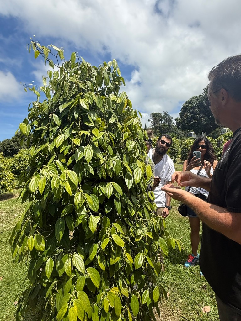
Besides coffee, Greenwell Farms is in the early stages of growing peppercorns! The red, white, and black varieties of peppercorns are all the same, just harvested at a different stage of development (like the difference between green, red, yellow and orange peppers). We were able to taste a peppercorn, and the way the flavor developed and changed over the span of just a few moments was incredible! Matt talked us through each stage with precision, and just enough encouragement to keep us going through the “wasabi stage” of flavors. 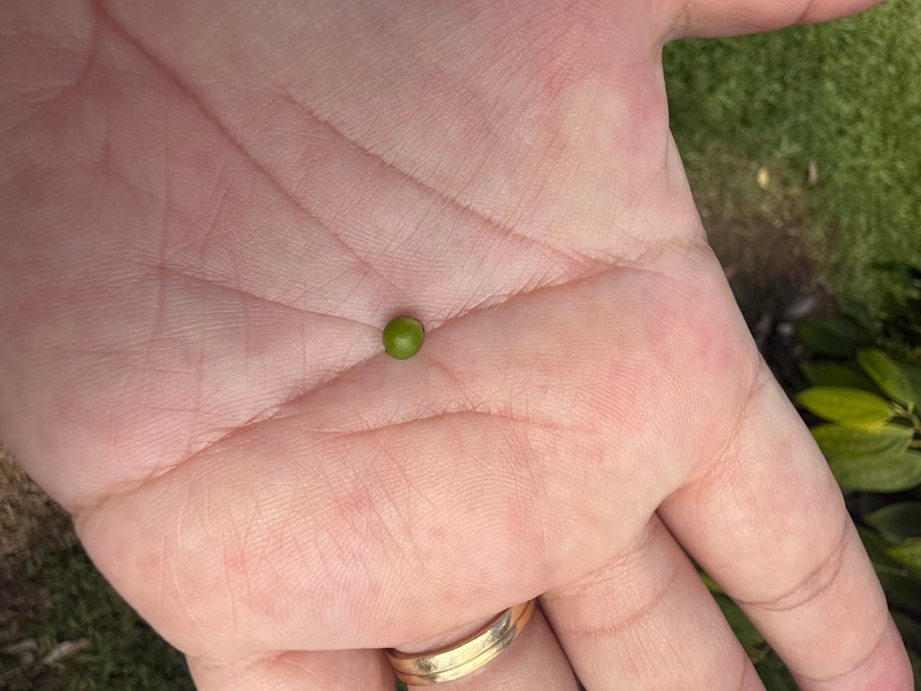
The peppercorn. 
Greenwell Farms also tried to venture into growing vanilla. This was one of their vanilla orchids. They have decided to not pursue vanilla at this time. The Breadbasket
Our next stop was at a roadside bakery, The Breadbasket. A few months ago, I came across a social media post of this place and was quite taken by the owner’s story. She bakes her stuff each morning and stocks her roadside stand with a regular rotation of breads, pastries and cookies. Her stand runs on the honor system, despite occasionally people being less than honorable. We found her stand, and chose a loaf of bacon and cheese bread, a white chocolate macadamia nut cookie (that was the size of my hand!), and a couple of the ever-yummy Aloha Maid juices (really wish we could find those here at home!). The bread was so delicious! It was like eating a grilled cheese sandwich, loaded with bacon bites. The cookie was soft and tender, yet baked through to perfection. This was well worth the detour from our route for the day!


Puʻuhonua o Hōnaunau National Historic Park
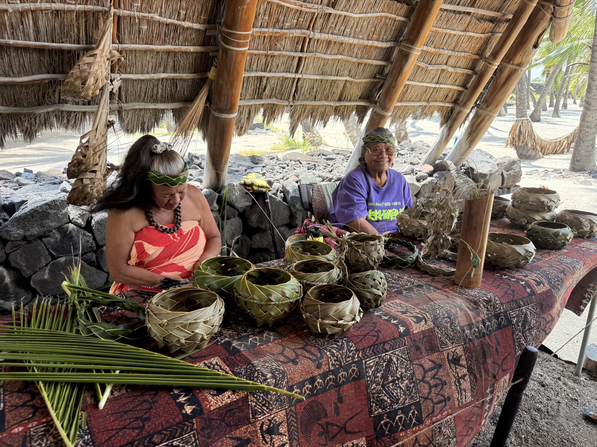
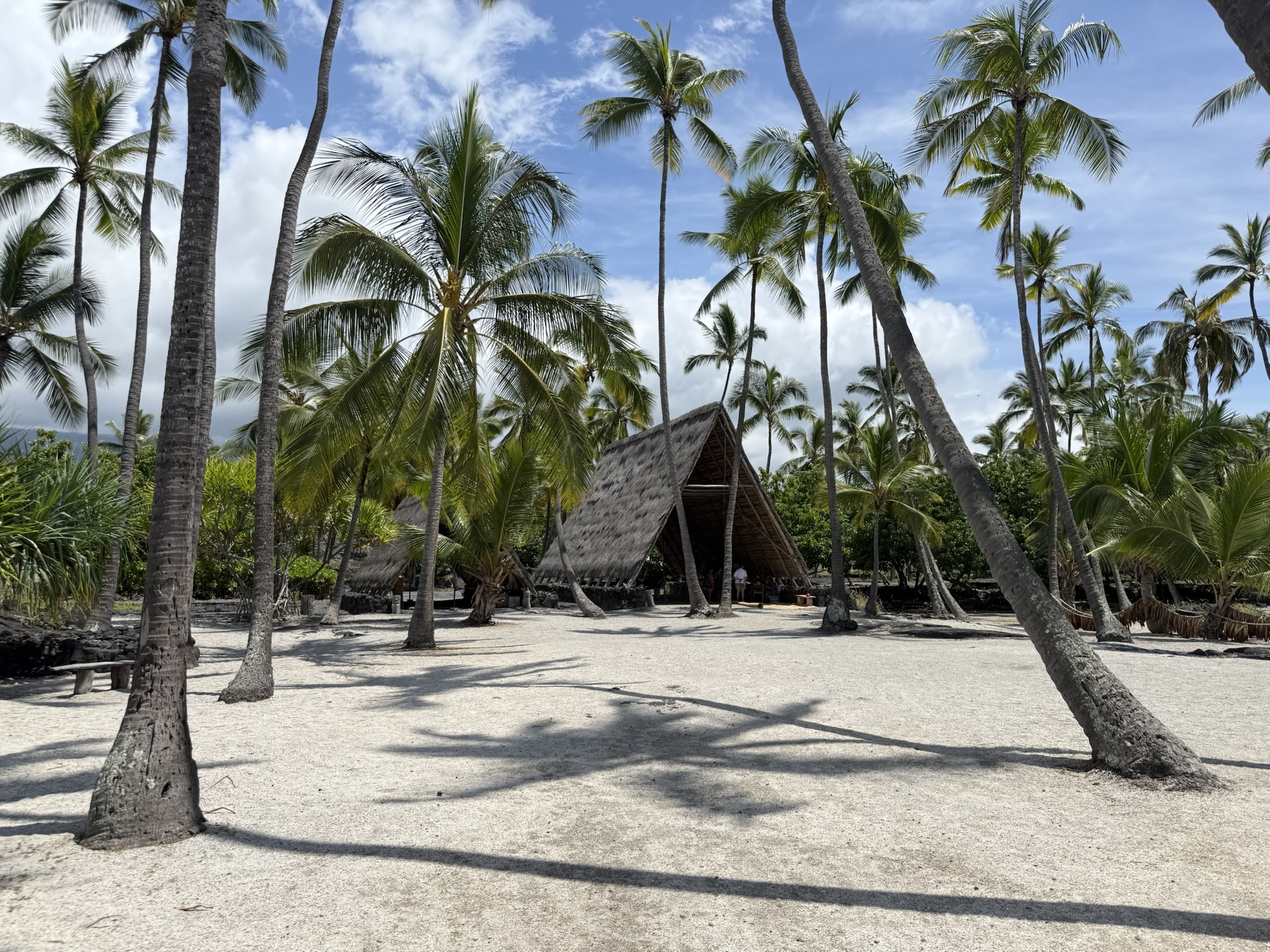
The first historical park we visited was Puʻuhonua o Hōnaunau. This beautiful and serene location had been used as a place of refuge by the Hawaiians during times of conflict, and included a mausoleum for the al’ii (chiefs). There were many recreated structures and tikis, and the NPS app had an audio tour to accompany the trail. In the canoe house, we met two local residents who volunteer their time at the park to demonstrate traditional palm frond weaving, making baskets and wreaths to give away (with encouragement for guests to make a donation to the NPS). The fronds are collected onsite by the groundskeepers. One of the ladies has lived on the island her entire life, and was born pre-statehood. She told us how when Hawaii became a state, she was issued her first birth certificate, and told the officials it was incorrect — she had not been born in the “State of Hawaii” like the certificate said! We really enjoyed ‘talking story’ with these ladies.


Food Truck Friday
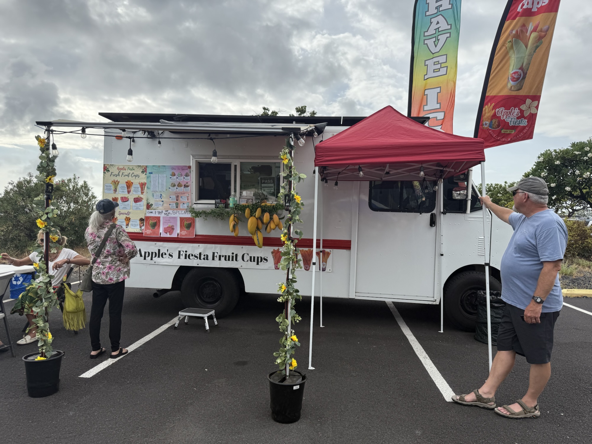
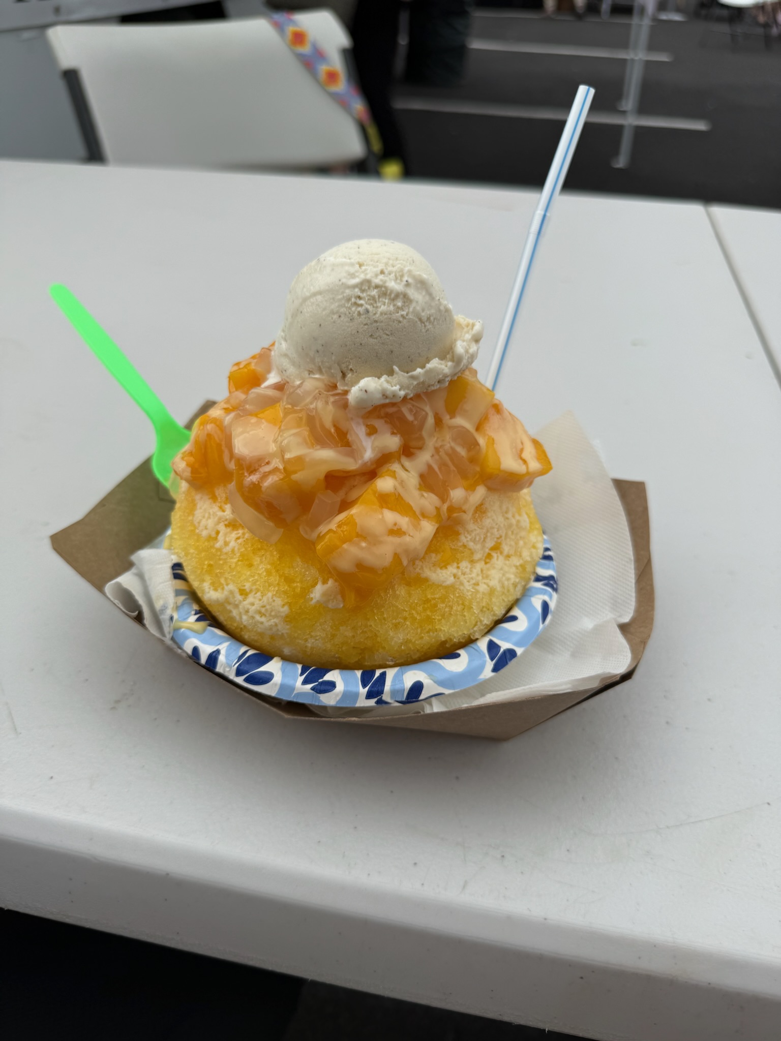
We decided to have an early dinner due to our evening snorkeling (more to come on that!), and visited Food Truck Friday,at the Old Kona Airport. There were several dozen vendors, offering a variety of foods. We were delighted to see a truck selling Molokai Hot Bread! When we visited Molokai in 2019, we enjoyed hot bread from the bakery in town, which was served only after 8:30 PM and from the back door in the alley. Hot bread is a giant loaf of sweet bread that is split open and filled with sweet cream and fruit fillings or butter and cinnamon and sugar. The bakery had big dreams of expanding back then, and was just starting to fly their hot bread to Maui. So it was fun to see that things were growing for them! Our plate lunches from Big Island Provisions & Sundries were very good — spicy chicken for Jon and teriyaki chicken for me, both with the traditional scoops of white rice and macaroni salad. Dessert was a huge “mango madness” shave ice from Apple’s Fiesta Fruit Cups. As good as it was, we were smart to share it because of just how big it was.


Manta Ray Snorkeling
Friday night we snorkeled with manta rays through Kona Snorkel Trips. Not gonna lie — there was a little bit of apprehension on my part leading up to this excursion. Swimming in the ocean, after dark, with giant sea creatures? Yeah, not usually my thing. But my daughters encouraged me to “be brave” and were confident I wouldn’t die doing this, so I went with the idea of “what doesn’t kill me makes me stronger.” We were outfitted with wet suits, because apparently there are things in the water after dark that want to sting you, and a snorkel and mask. No fins for this adventure. The boat was a retired Navy Seal raft that seats about 16 people, and moves quickly through the water for a somewhat rough ride! When we arrived to the set location, the crew unloaded the specially equipped surfboards that we would be hanging on to. The boards had hand grips around the edges and bright lights on the bottom. We went over the side of the raft, and grabbed onto the edge of a surfboard, with a crew member then pulling us away just a bit from the boat. With the lights turned on, the plankton were very visible, and the manta rays immediately arrived to filter feed. There were eight different rays swimming right up to us, swirling and circling continuously, so close that occasionally one would inadvertently belly bump into us (we were told to not touch the rays under any circumstance…but they could touch us!). The largest ray was 13.5′ wingtip to wingtip, and the others ranged from 6′ to 10′. Manta rays are non-aggressive and only eat plankton, but having a several hundred pound (some over 1000 pounds!), mouth agape creature silently coming right at you was very disconcerting! If you visit the Big Island, I highly recommend doing this night snorkel with the manta rays.
Below you will find a 90 second video of our time with the mantas. If you want to watch a longer video, click here. Make sure you have your sound turned up so you can hear both Jon and I react to when a manta bumps into us!
Saturday, September 13, 2025
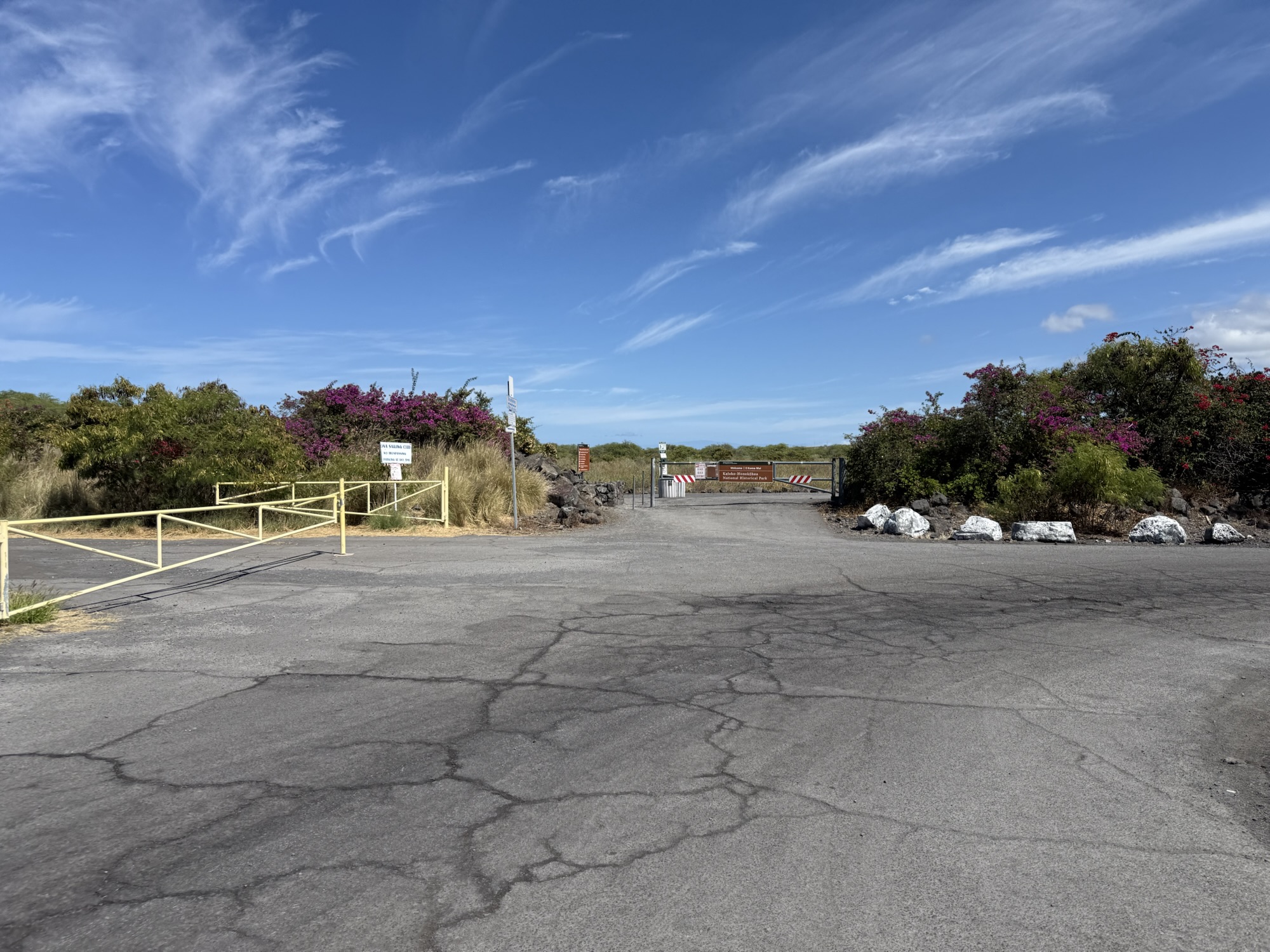
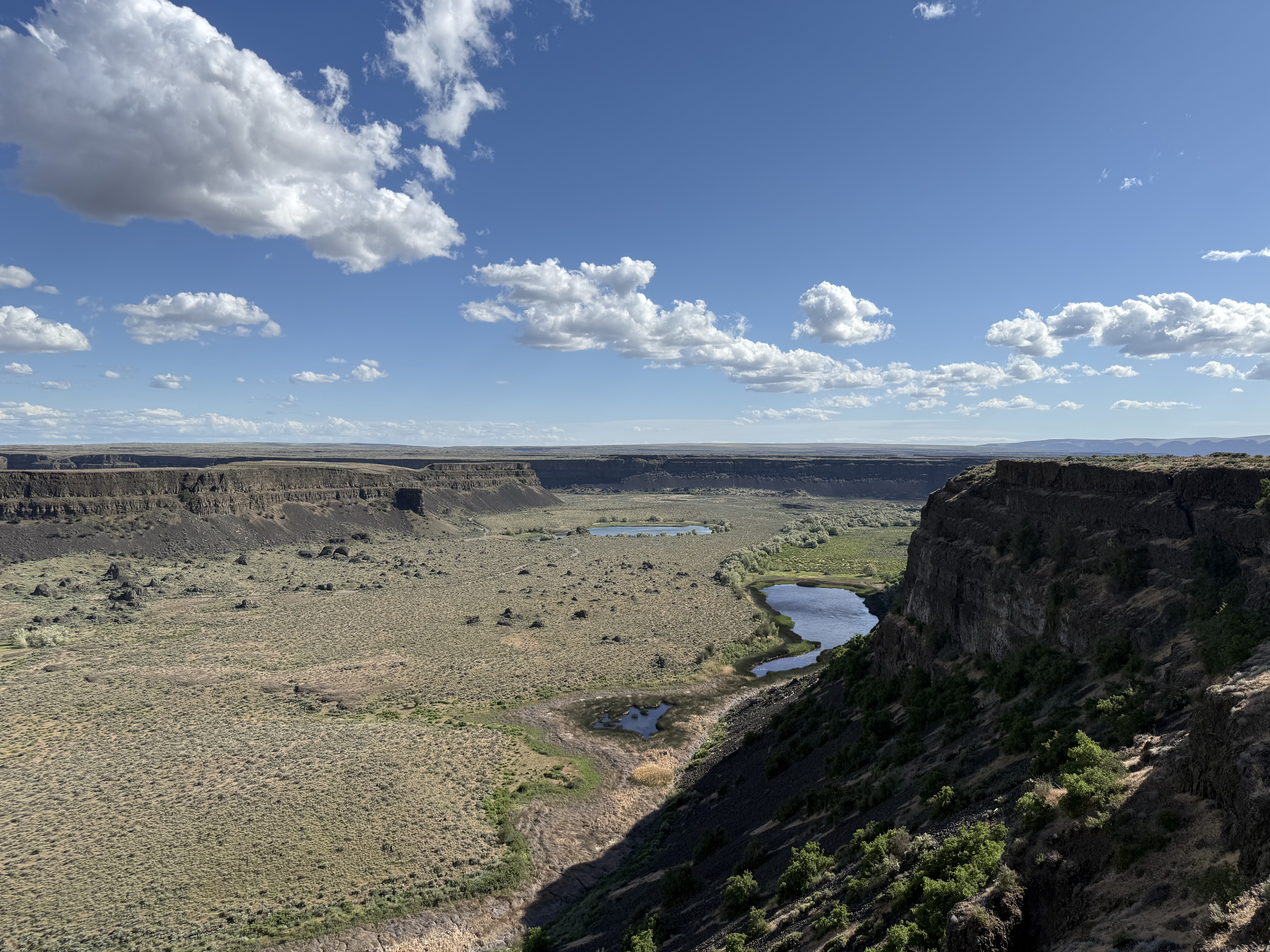
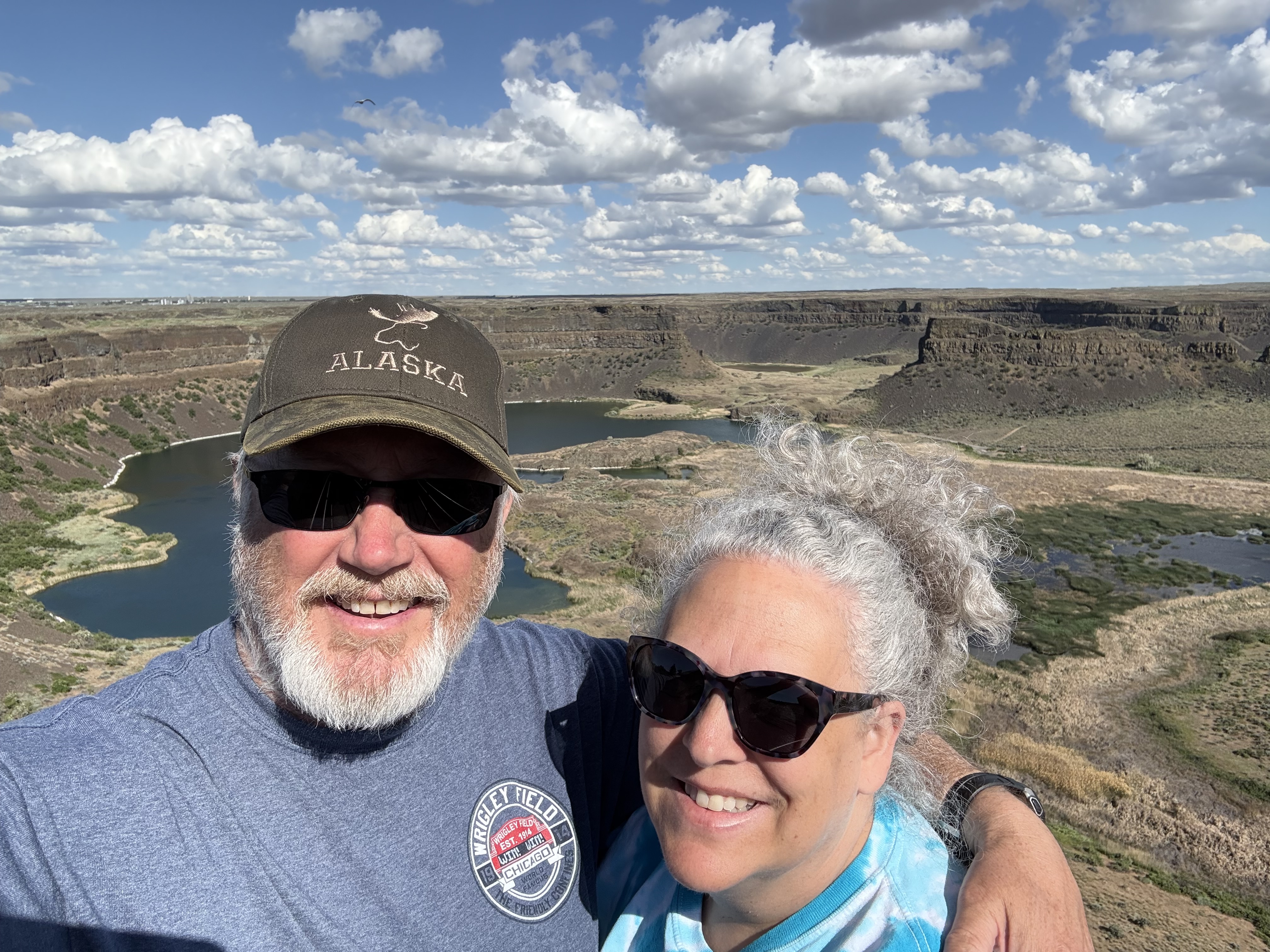
Kaloko-Honokohau National Historical Park
We made a stop to the Kaloko-Honokohau National Historical Park, which turned out to be much larger than we thought! They had multiple entry points to this park, but we only made it to two — the one with the visitor center (so we could collect the official stamp for our NPS Passport) and the one to the Ai’opio fish trap. At the visitor center, there was a short trail circling some areas that had some ancient ruins, and had interpretive signs and statues to share the story. It was very hot and there were no trees along the trail, so we walked just a small portion of it, unfortunately. We had to drive to a different location to find the trail head entrance to the Ai’opio fish trap and beach. This was a beautiful beach area, with only a handful of people present, and several turtles! It’s always fun to encounter sea turtles! On our return from walking out to the point of this small inlet, we were greeted by Craig, a sea turtle volunteer and retired NPS ranger. We chatted with Craig for about an hour, and enjoyed all the information he shared regarding the sea turtles, such as how they migrate, their life stages, and diets.


Heading Northwest’ish
We decided to explore the northwesterly portion of the island next. We stopped at an overlook alongside the highway, and when we got back into our rental vehicle, we noticed we had a “low tire pressure” warning light and found a screw embedded in one of the tires. Feeling like it wasn’t wise to head off to a far side of the island with a potentially failing tire, we returned to the airport to exchange the vehicle. This little 90 minute detour wasn’t exactly in our plans for the day, but it was a smooth switch, and the company didn’t seem to be too concerned.


Hawi
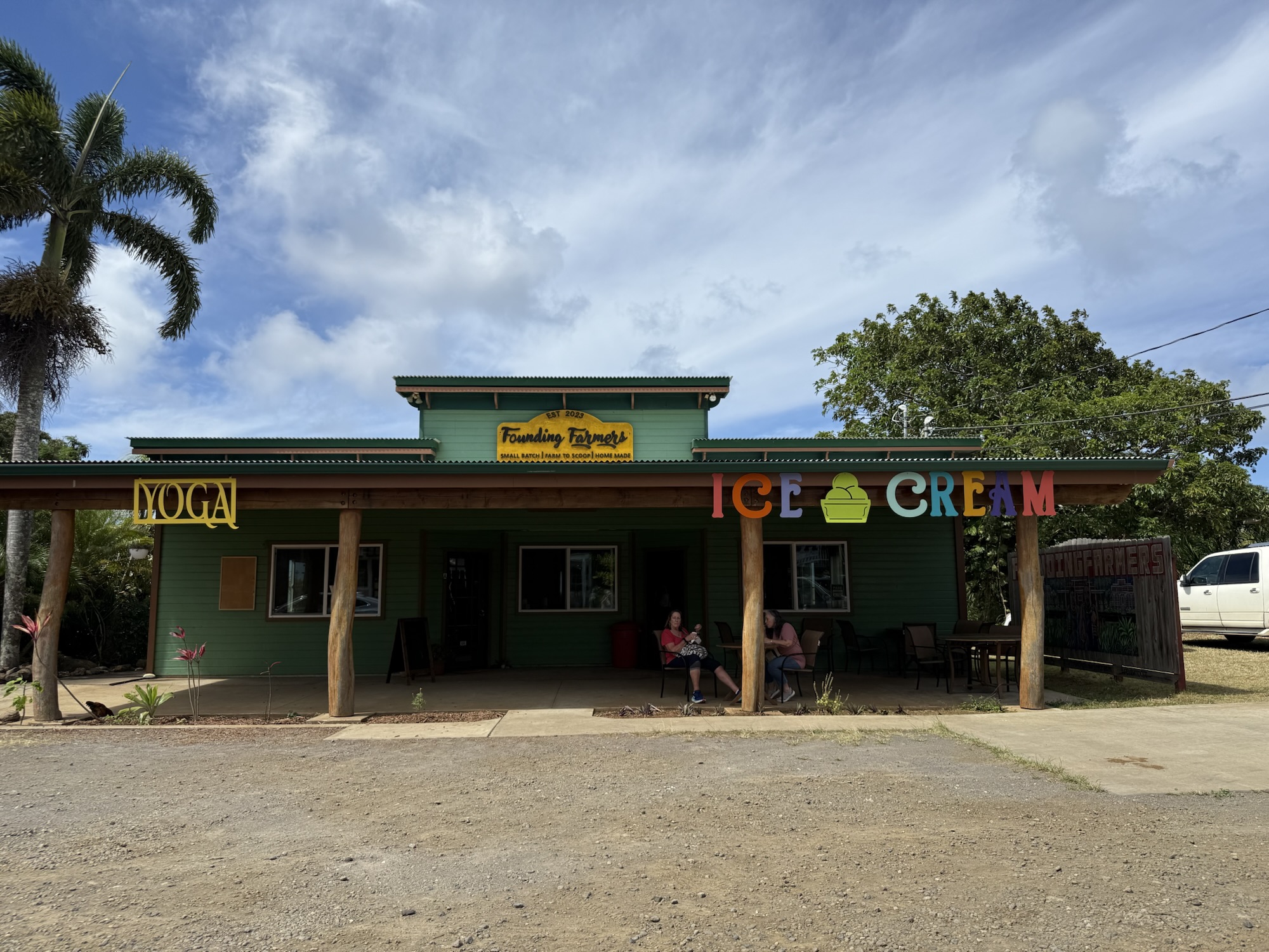
We stopped in the small town of Hawi and walked through their artsy little downtown. The art galleries were nice but super expensive, so we didn’t buy anything. But, we did find a local ice cream shop called Our Founding Farmers. After sampling a handful of flavors, Jon decided on the lilikoi (passion fruit) ice cream and I had a mango sorbet. The scoops were generously sized for the $7 price tag. We also stopped at a small market for some cold drinks.
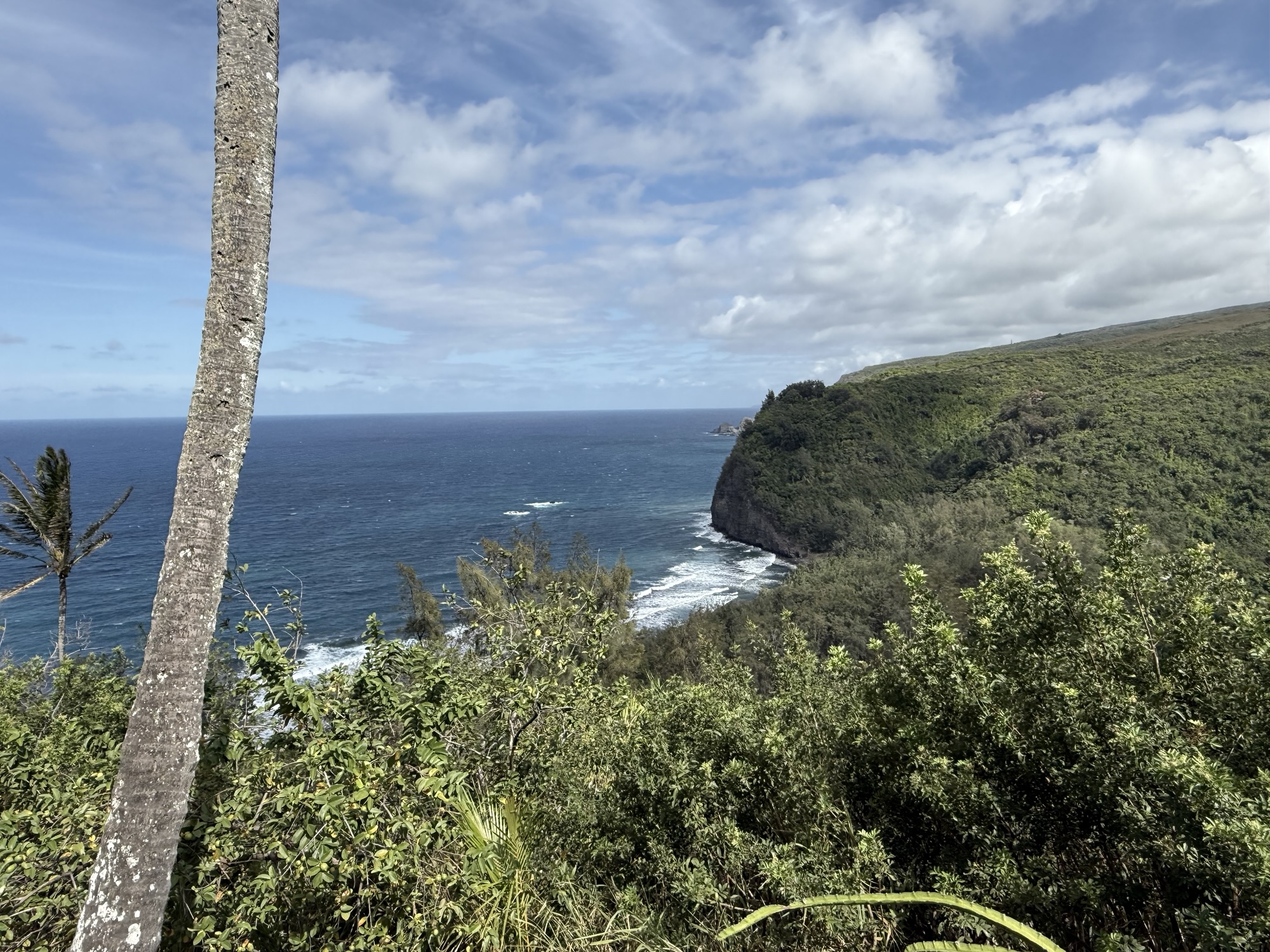
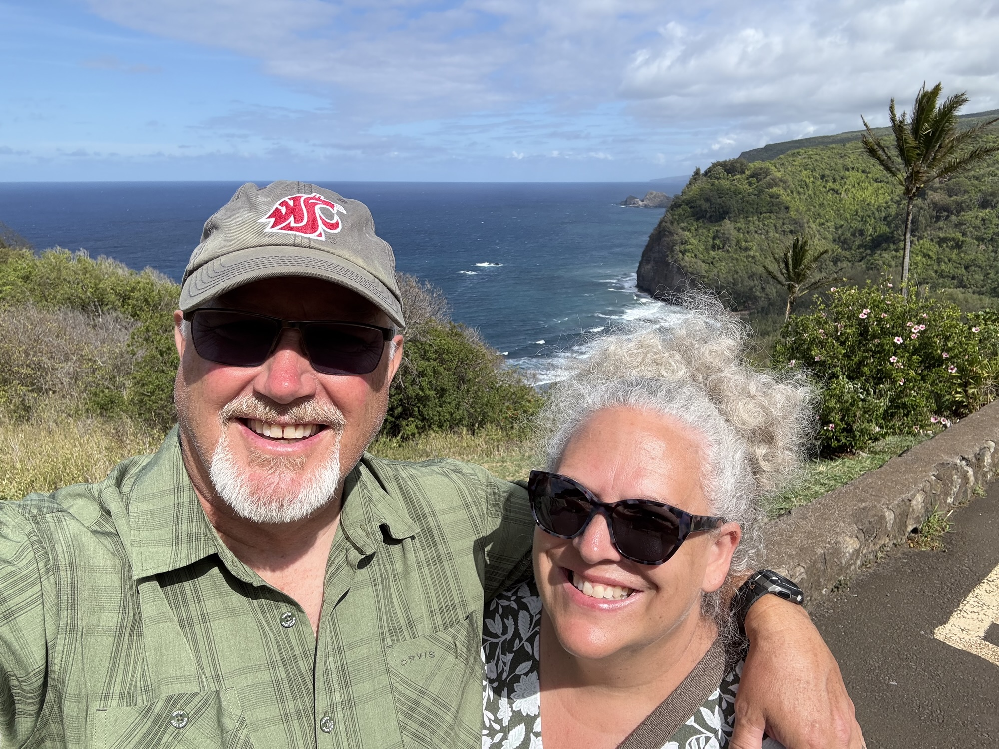
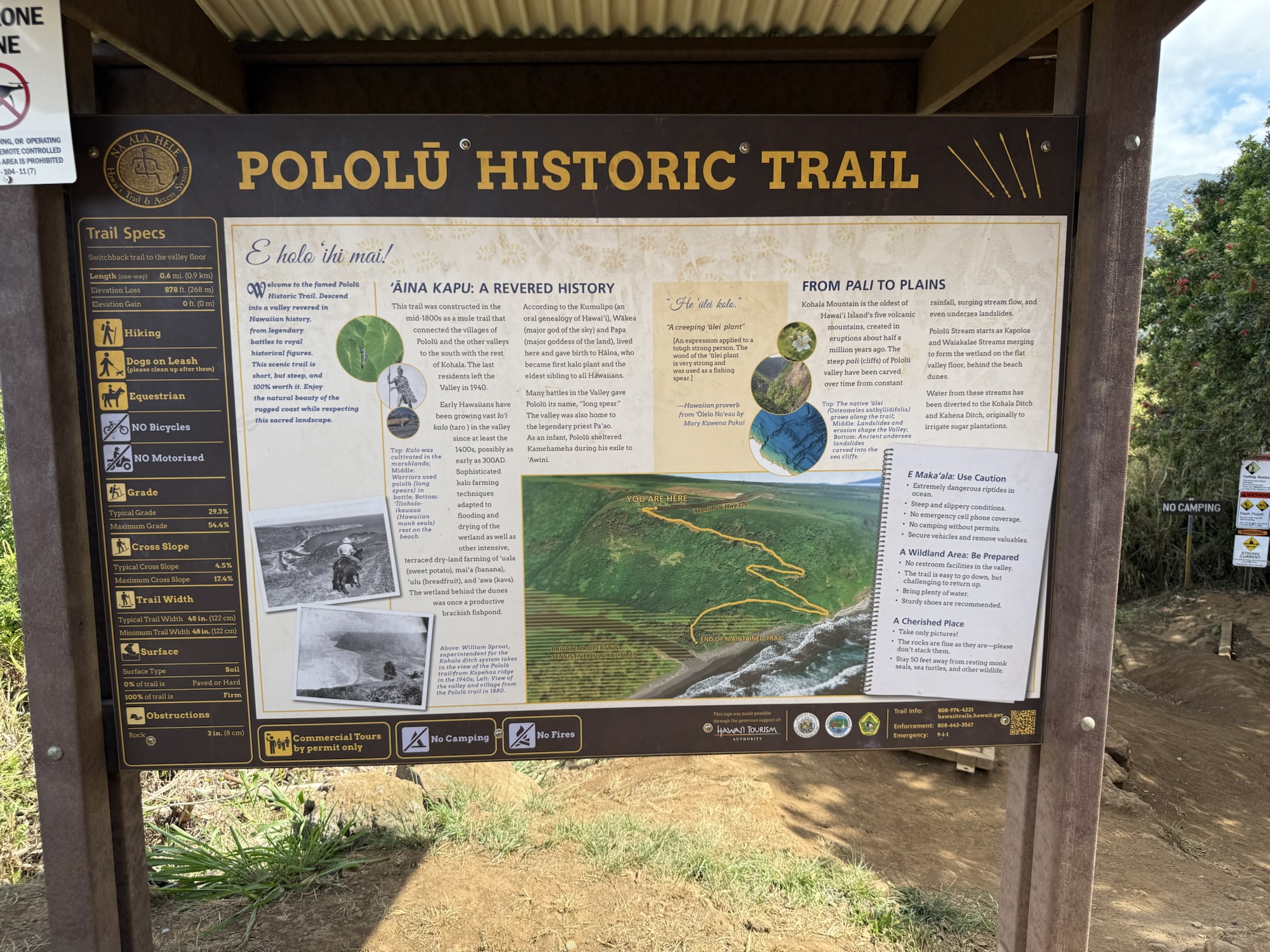
Pololū Valley Lookout
We continued driving along the Akuni Pule Highway towards the Pololu Valley Lookout, which is the dead end of the road. “Highway” is a generous term for this road. It’s a small two lane road, without any shoulders, and several single-lane bridges, that winds around through small clusters of homes and farmlands. Top speed is maybe 35 mph. The lookout was well worth the drive, though. It’s a beautiful view over the sea cliffs and up a valley. There is at least one hiking trail to the shore and to the valley. However, it is a steep climb, with an occasional 50% grade! There was a hiker check-in table for people to register that they were taking the trail. Needless to say, we did not make this hike! The parking lot for the lookout is very small and has a 10 minute limit, or you can park alongside the road and walk down to the lookout, which is what we did. Ten minutes was an adequate length of time to take in the view.


Heading towards Waimea & then back towards Kona
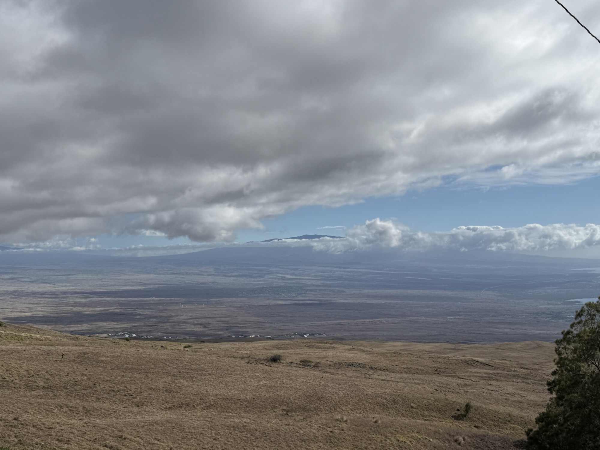
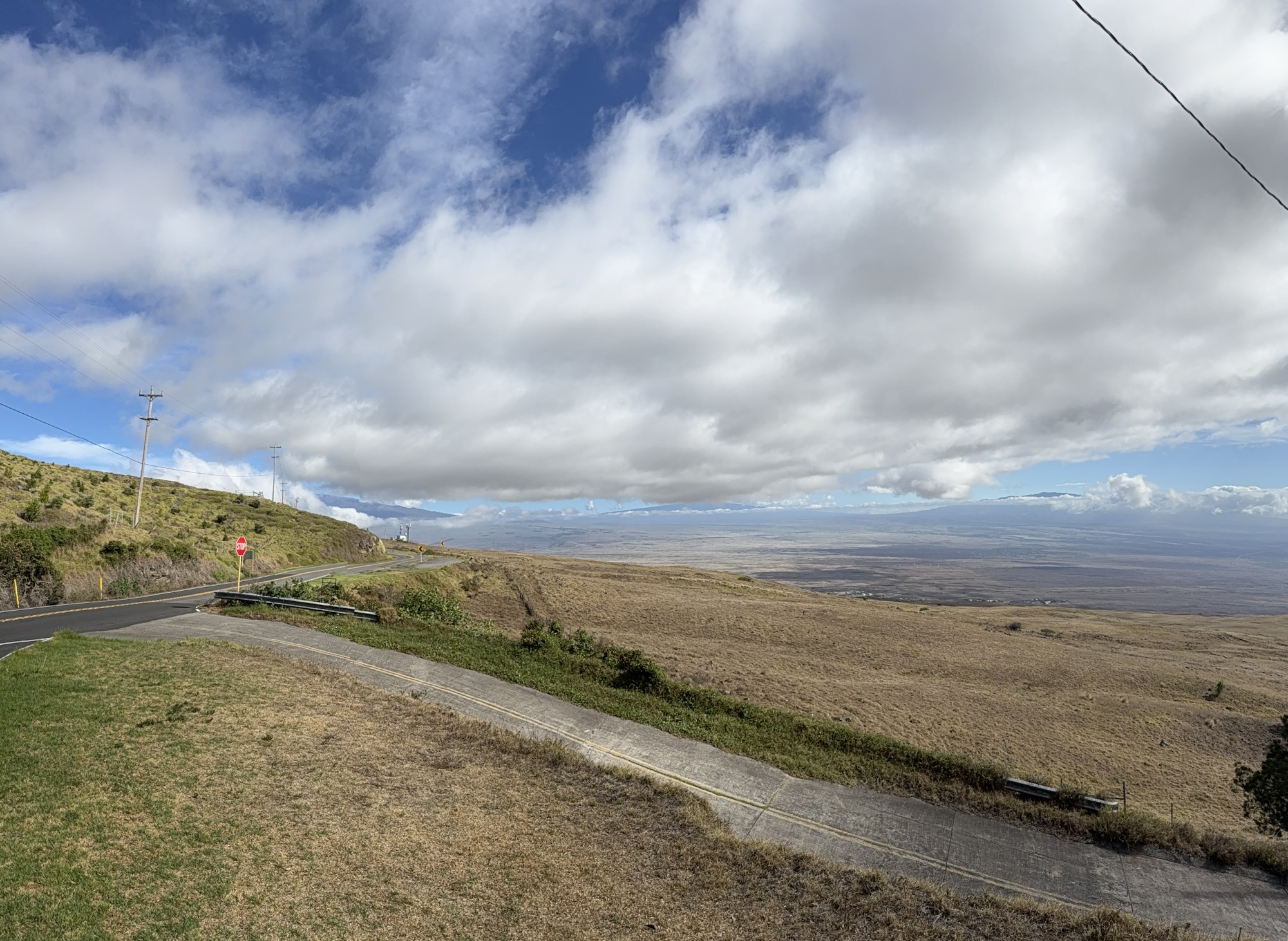
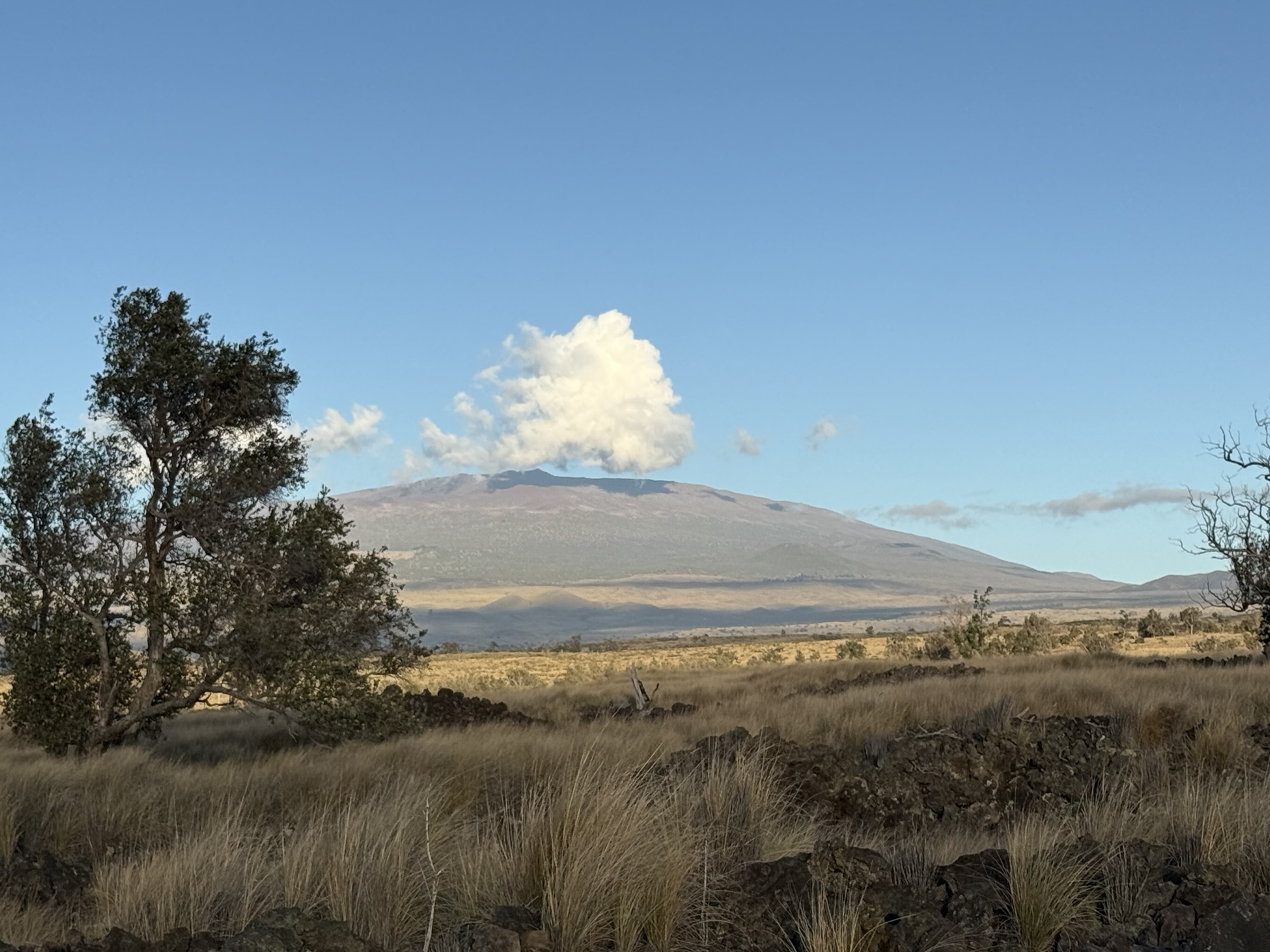
We headed back towards “home” via the Kohala Mountain Road, Highway 250. This road was full of ranch land and wide open spaces, with Mauna Kea to one side and stunning sweeping views overlooking the ocean.
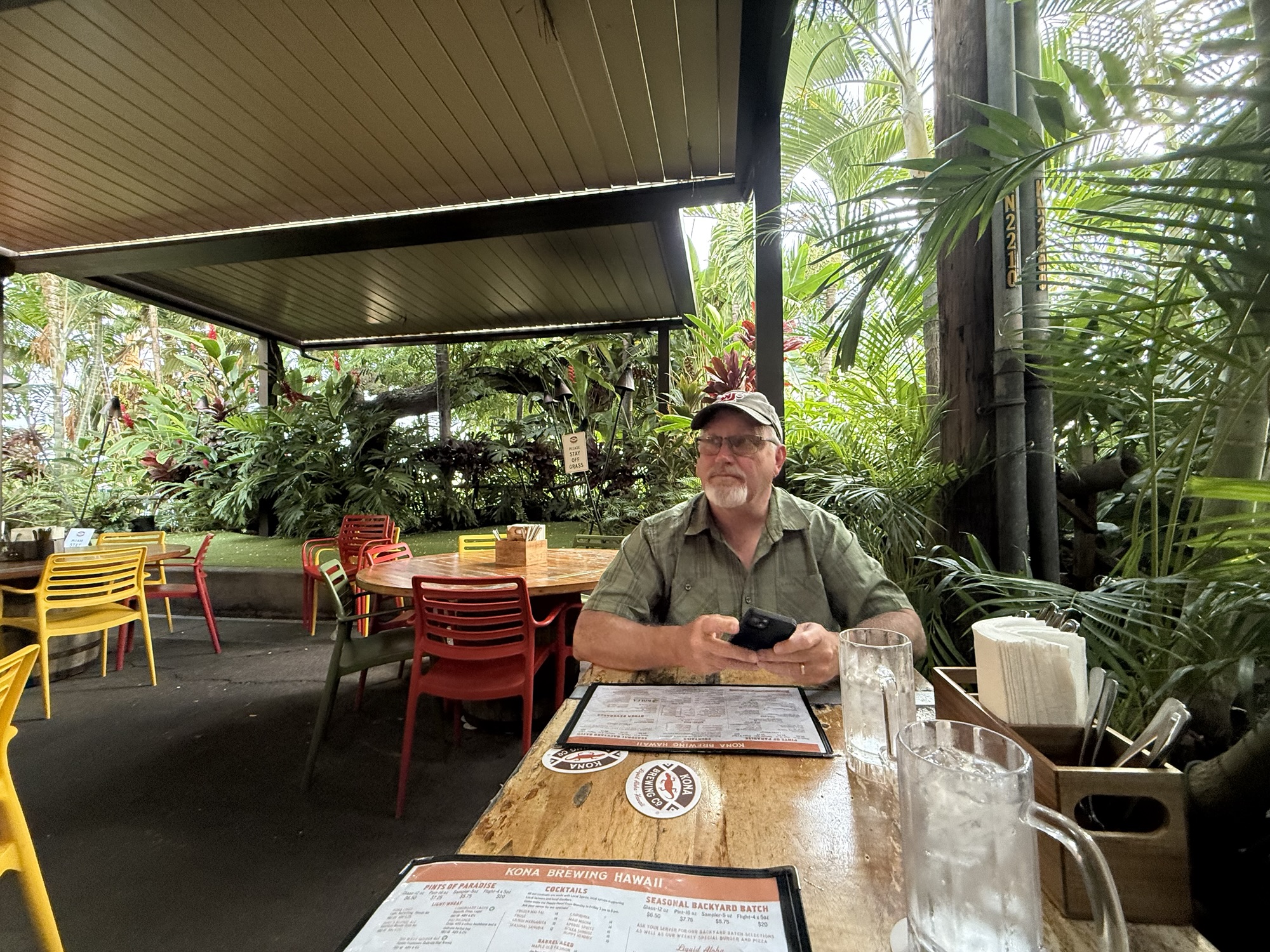
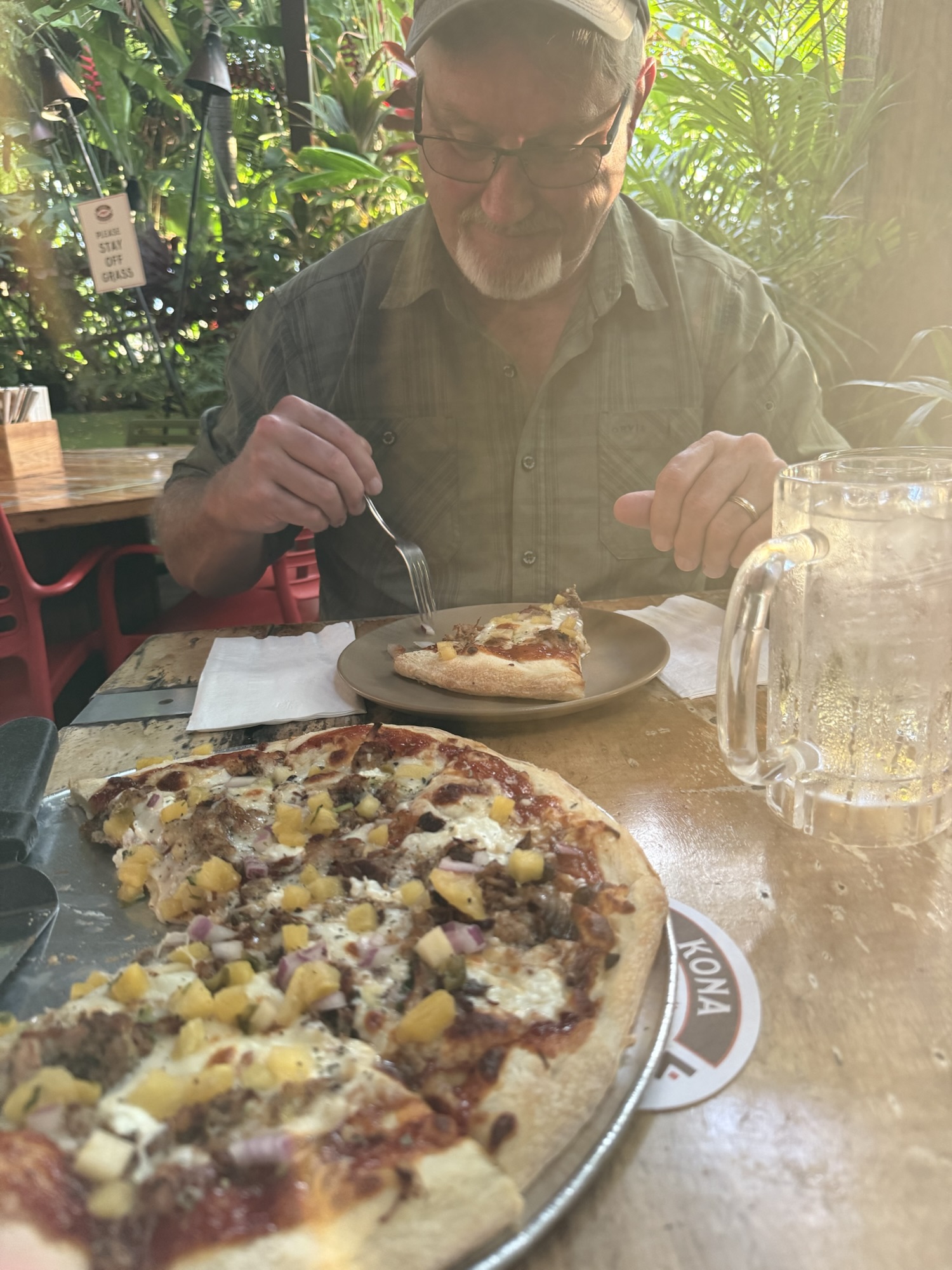
By this time, it was starting to get late, and we decided we needed dinner. I did a quick Google search for something with good reviews that was somewhere between where we were and the condo. I found a place that had 4.8 stars from a few thousand reviews — it sounded promising! When we found it, we quickly decided it was not a place for us. Maybe it was the completely covered over windows (rarely a good sign), maybe it was the prostitute and her pimp hanging out at the corner of the building, or maybe it was the people smoking weed in the parking lot, but we kept moving! Just down the road a few blocks we came across the Kona Brewing Company. It wasn’t too crowded, and the prices were reasonable. We sat in the garden area which was a really pleasant open air patio nestled into a thick jungle-like garden that completely enclosed the area. There was a small stage, where I imagine they have live music at times. We split a “Hawaiian Lu’au” pizza which had Blacksand Porter BBQ sauce, Mozzarella, Goat Cheese, Kalua Pork, Jalapeño Pineapple Salsa. It was really good, and big enough for us to eat our fill and still have about half of it leftover for lunch the next day. A “Longboard” lager for Jon and a Paradise Cider “Hang Loose Juice” of passion fruit, orange and guava for me rounded out the meal.


Sunday, September 14, 2025
Snorkeling!
Early Sunday morning, we had a snorkel tour scheduled with the same company we utilized for the manta ray tour, Kona Snorkel Trips. For this trip, we were with Shari, the owner of the company, and Tori, a young new crew member. Shari was very thorough with her safety review, and was a very conscientious captain of the same raft we were on Friday night. She took us to an area near the Captain James Cook Memorial where there is a beautiful, vibrant reef that has an abundance of aquatic life. The water was calm, and the sunshine was perfect to see the fish. The reef was filled with so many different types of coral. When we first arrived, there were only a couple other boats there, so it wasn’t too crowded. This was one of the best snorkel experiences we’ve had! My underwater GoPro skills aren’t very good, probably because I don’t use it often enough to remember what didn’t work well the previous time! Is this an indication that I need to have more frequent tropical expeditions?? Maybe so!
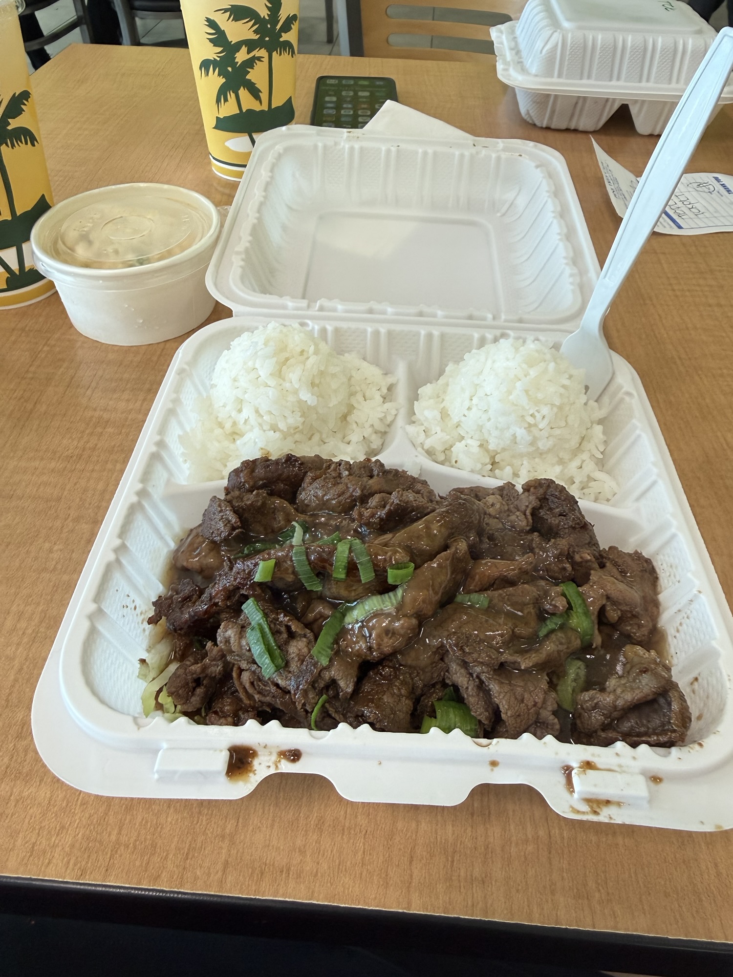
By the time we returned to the harbor at the conclusion of the four-hour snorkel tour, we were both feeling the sun and the heat. We returned to the condo to shower, eat lunch, do a load of laundry, and to hydrate. Dinner was a trip to a nearby L&L Hawaiian Barbecue for a plate lunch meal. Teriyaki chicken, rice, and mac salad hit just right! Our morning in the sun had definitely wiped us out for the day.

Monday, September 15, 2025
This was another day of exploring the island, with a few targeted stops, namely the most southern point in the United States, a black sand beach, and Volcanoes National Park.
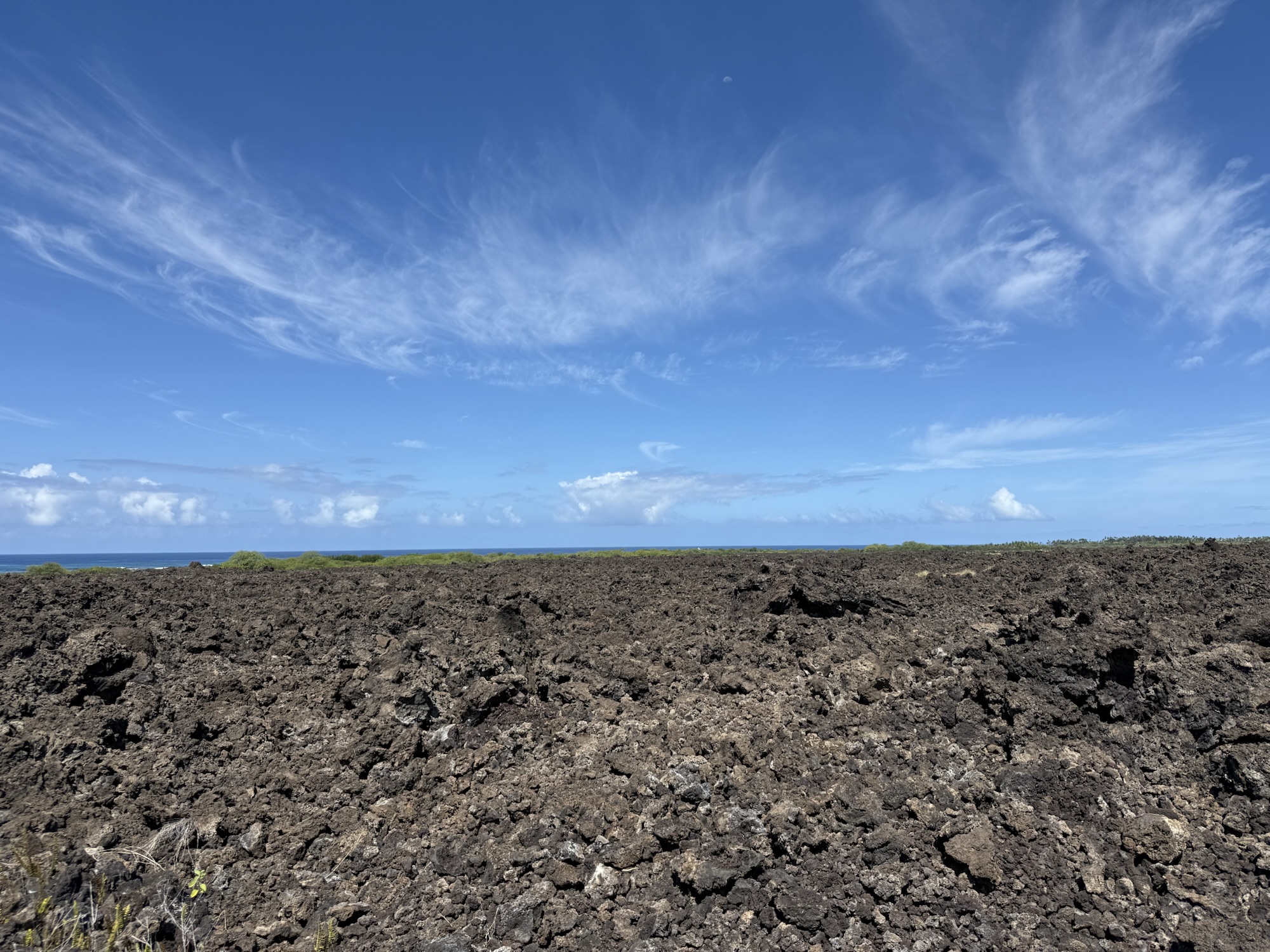
The landscape changed dramatically from one extreme to another as we headed towards the National Park. It would be hilly, lush jungle and then a moment later a barren, heat-drenched lava field for miles, and then a flat, grassy region.


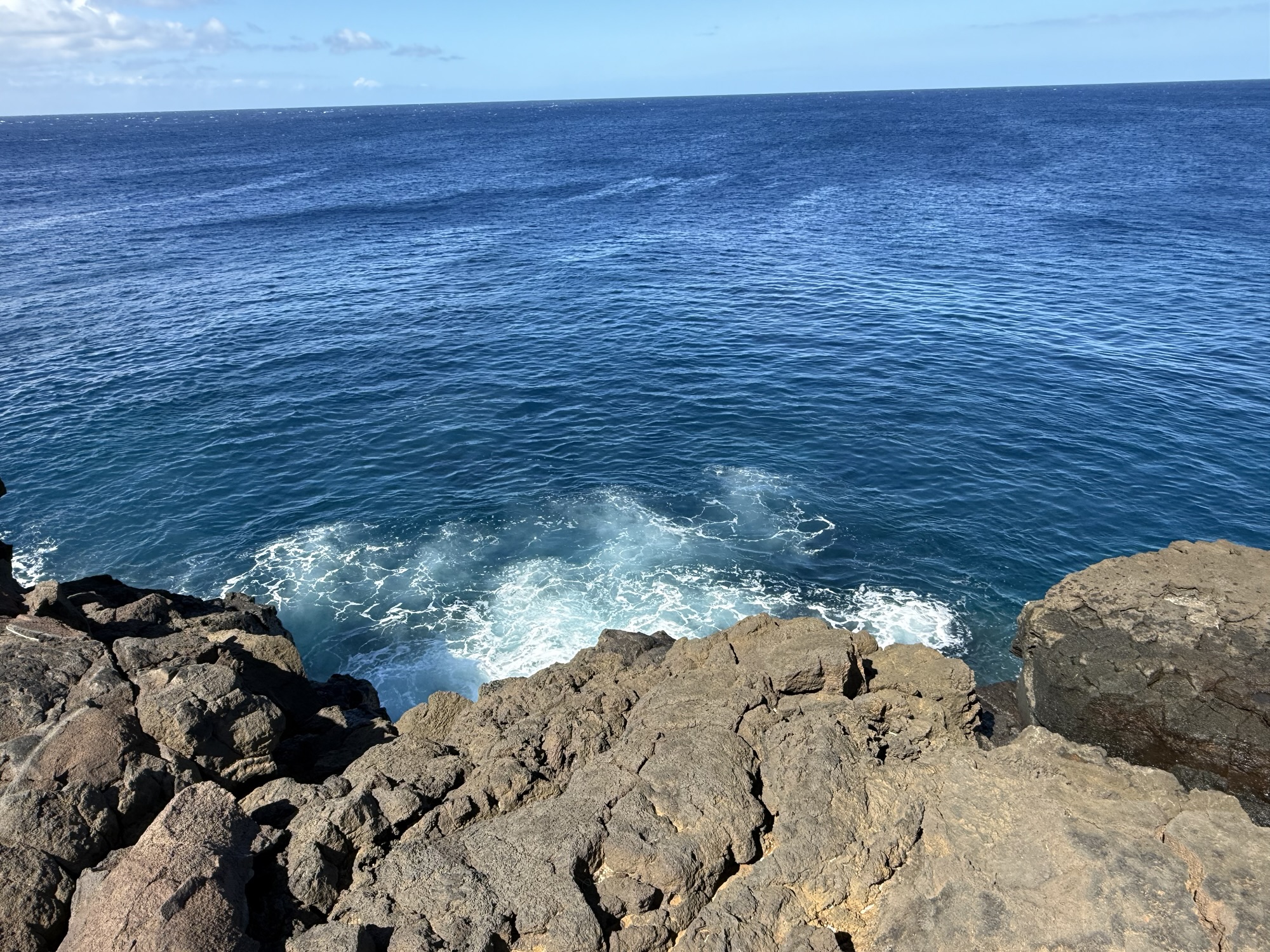
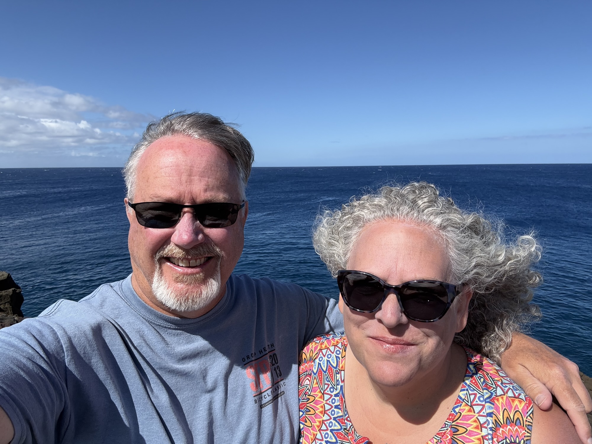
South Point
There’s not much at the southern most point of the United States other than a very windy sea cliff that some people were fishing from. It’s about a 15 minute drive from the highway through more flat, dry ranch lands. But, it’s also one of those things that you can then say, “I’ve been there.” And given that earlier in the year we were pretty darn close to the most northern point in the United States (okay, we were about 400 miles away, but still that’s closer than probably you, haha!), it was fun to know that now, just a couple months later, we were at the southern end.


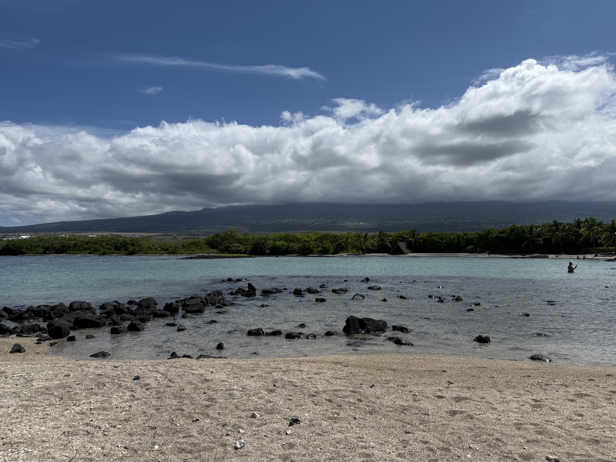
Punalu’u Black Sand Beach
We made stop at the Punalu’u black sand beach, and wow – that sand was truly black! There were warning signs indicating that the waves were too rough to be swum this day, and people should stay out of the water. We were told this is also a good place to see sea turtles, but we did not come across any while we were there (probably because the water was rough). There were still a lot of people at this beach, including a couple of tour vans. The novelty of a black sand beach is something we all want to see.


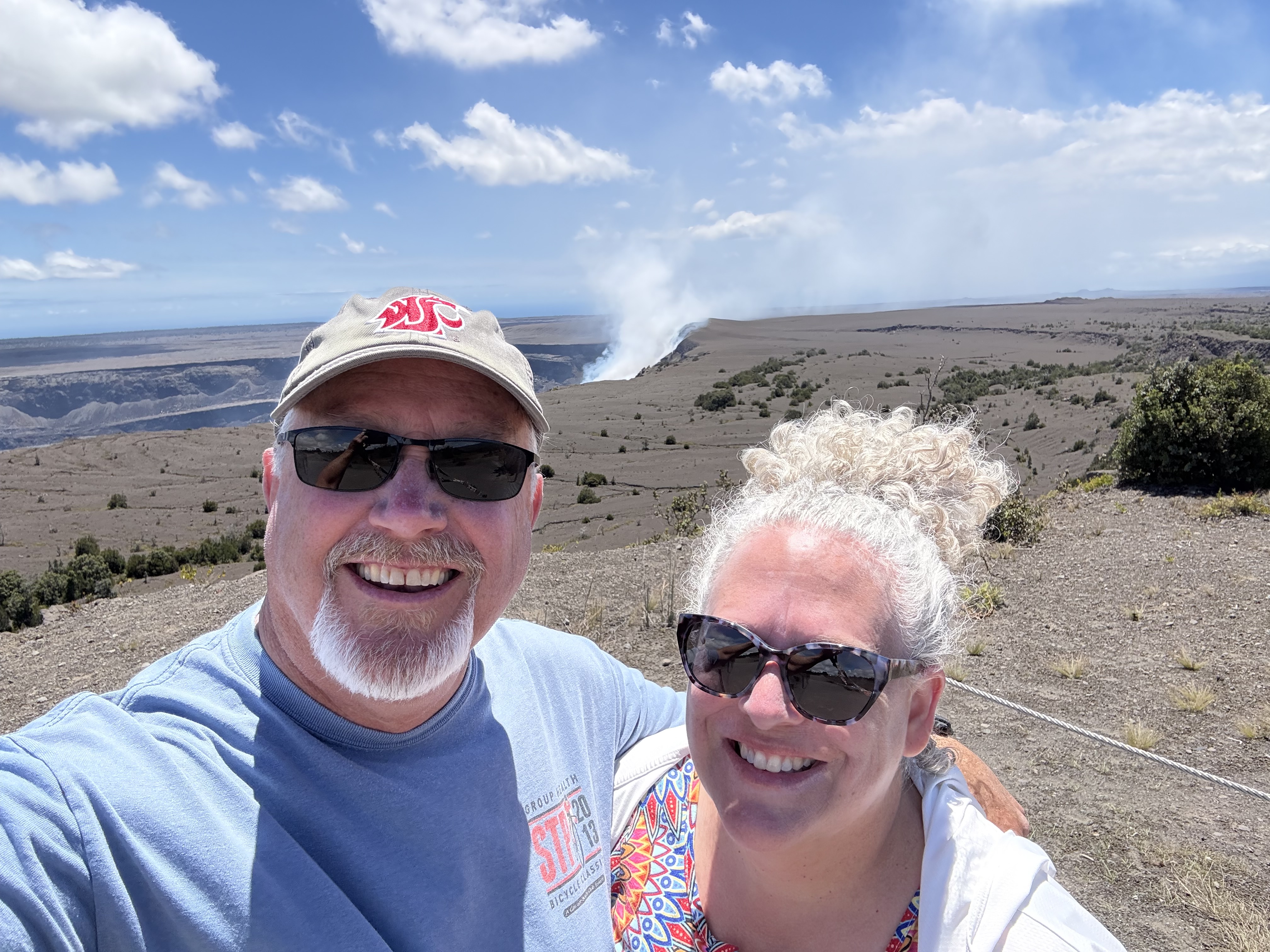
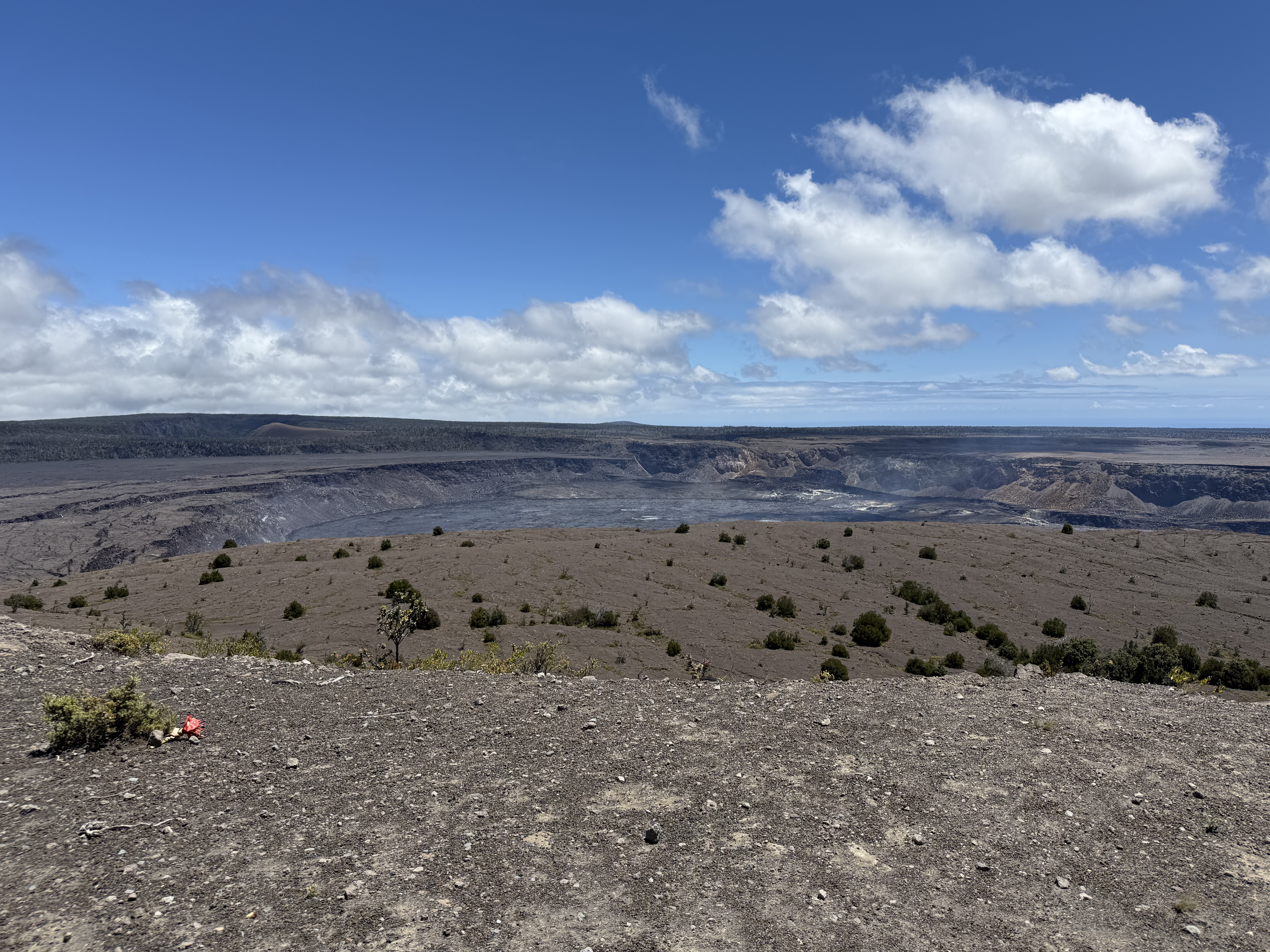
Hawaii Volcanoes National Park
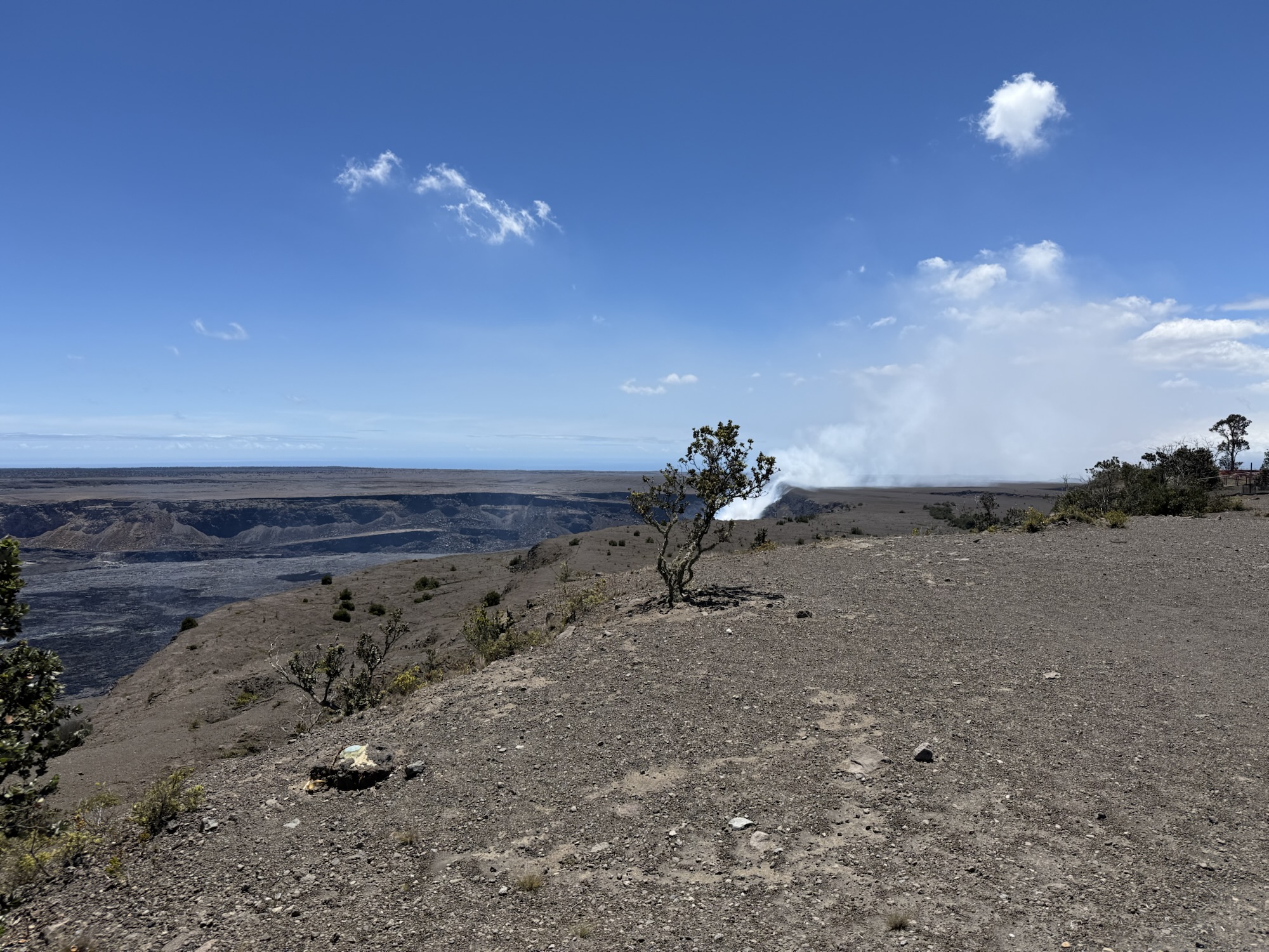
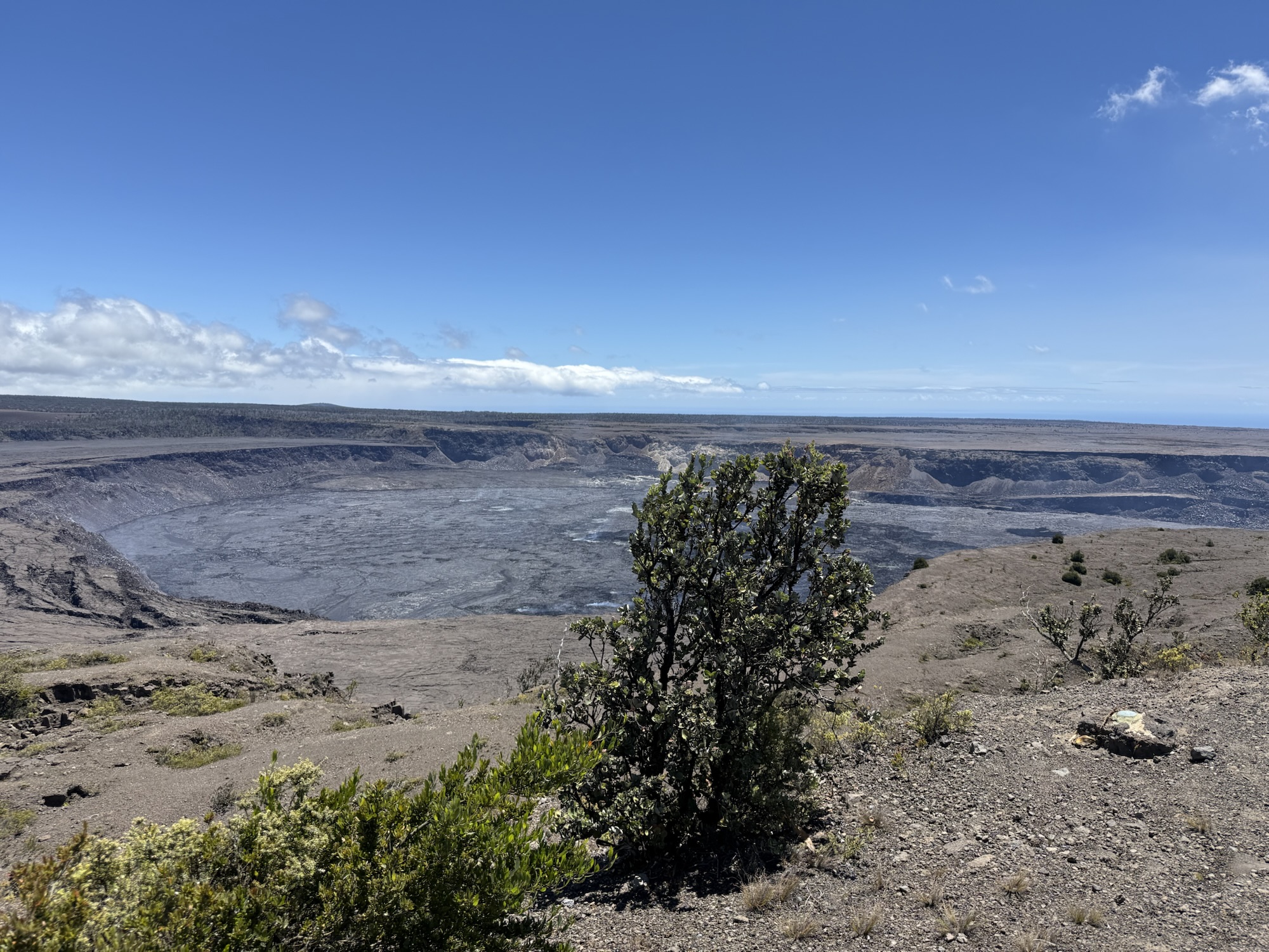
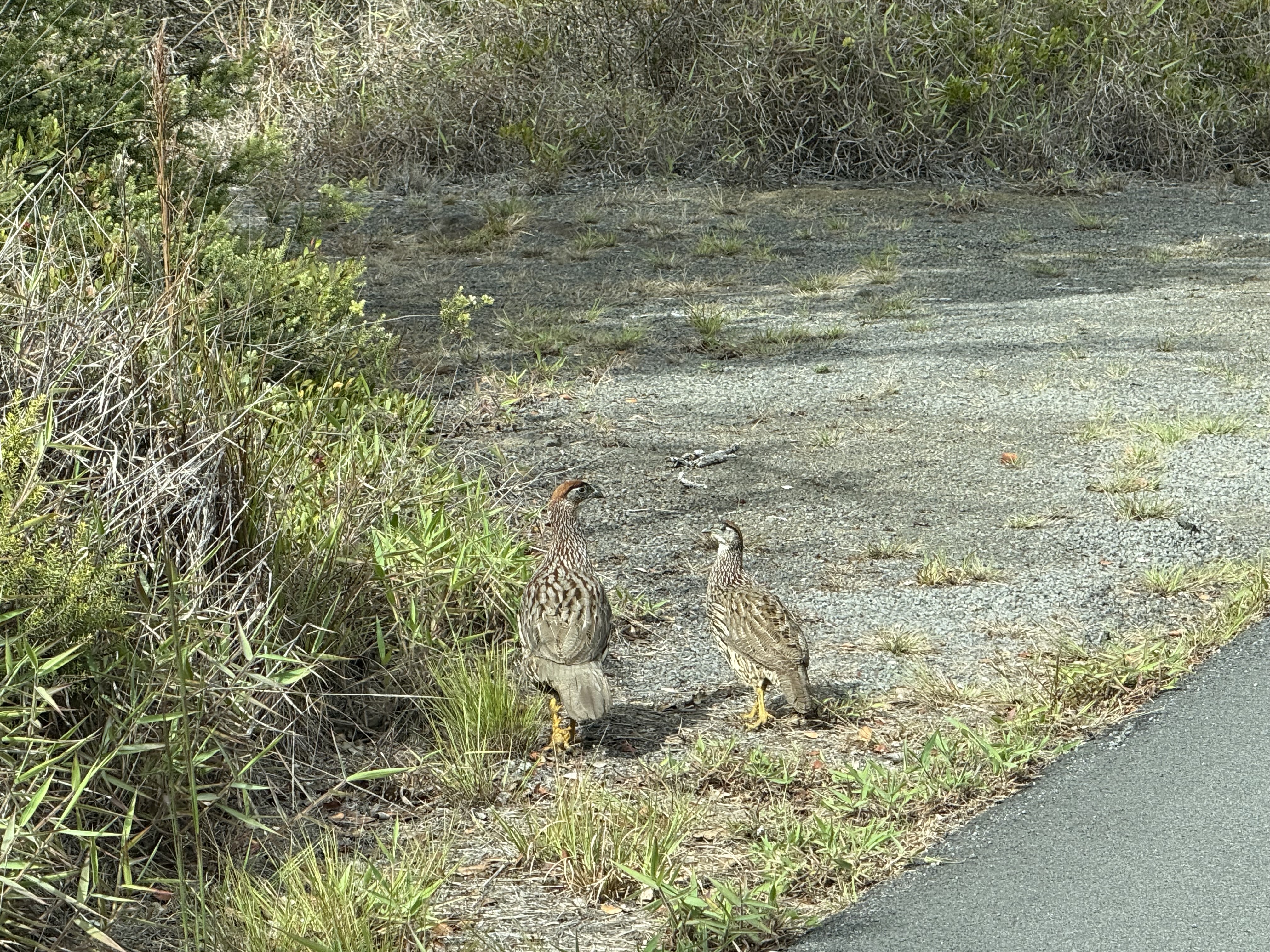
The highlight of the day, though, was Volcanoes National Park. Kilauea volcano had been erupting regularly this summer, including the week before we arrived, and although that last episode of eruption had ended, the next was looking like it could start at any moment. We were hopeful to catch a glimpse of it! Unfortunately, “Pele” decided to not get angry enough to erupt again until the day we were leaving. I guess we’ll need to come back to try to catch an active eruption :) We started our visit to the welcome center located at the Kilauea Military Reserve Camp as the official visitor center is currently being remodeled. The camp has small cottages you can rent, and even has a cafeteria-style restaurant (which was closed the day we were there). I think I read somewhere that this used to be an actual military facility used for various training missions…but don’t hold me to that. While this was far from the most deserted national park we’ve visited, we were pleasantly surprised to not be fighting huge crowds of people. We picked up a couple of souvenirs for the grandkids and park t-shirts for ourselves, as well as stamped our NPS Passport. I splurged and bought a pack of NPS stickers commemorating all the parks…I’m not sure what I’m going to do with them yet, but I’ll keep you posted, or send me your ideas! The park is also home to nene (“nay-nay”), the official state bird, and also known as a Hawaiian goose. These endangered birds are only found on the islands of Hawaii. The nenes we saw seemed to think they owned the place, and took their sweet time to cross the road or parking lot.


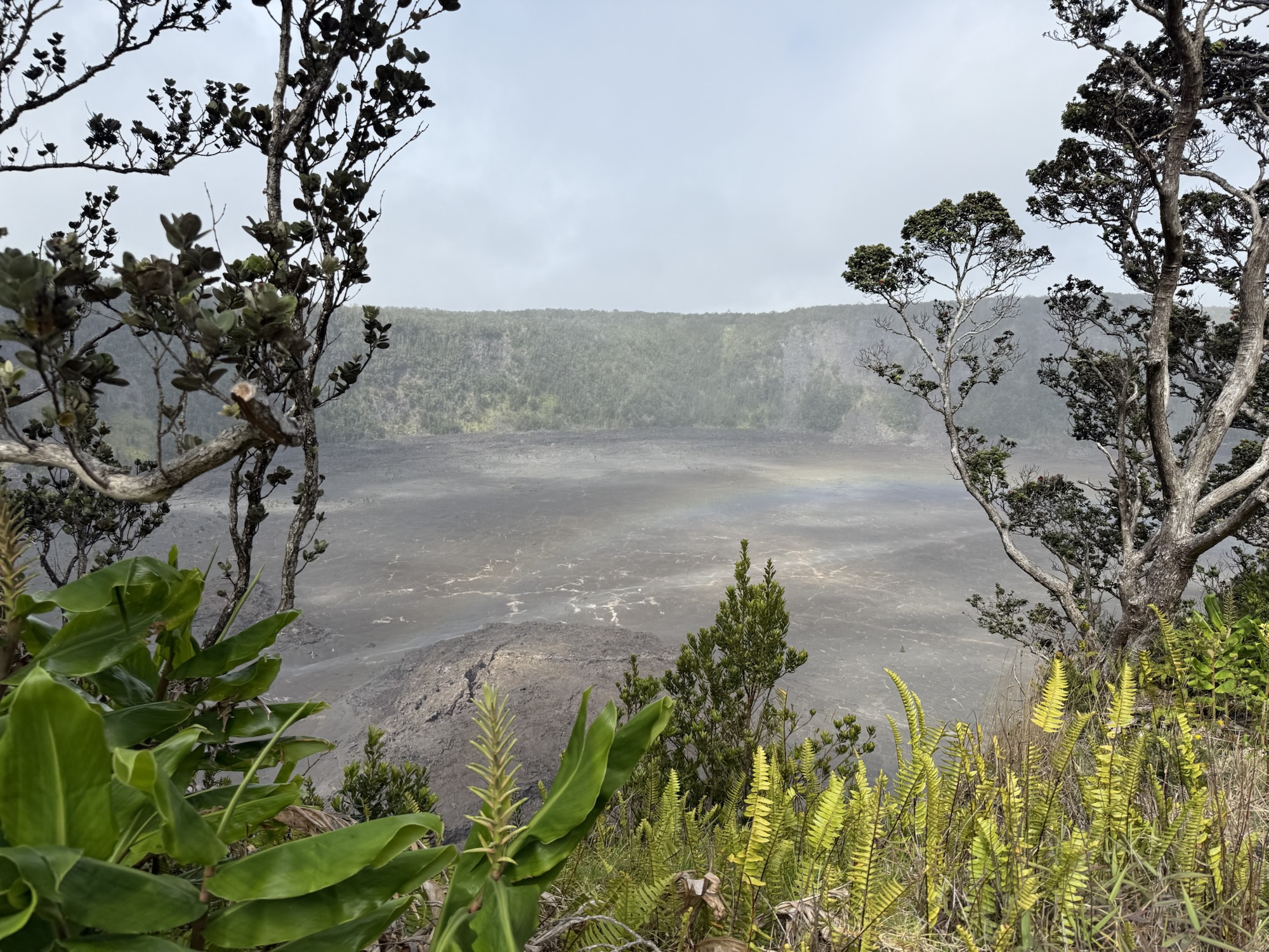
Even though Kilauea was not actively erupting, it was still an incredible experience to be literally standing on the edge of a caldera of an active volcano watching steam and gasses escape from fissures in the crust. We hiked around several areas of the rim of Kilauea, and it just seemed to get bigger and bigger from each different angle.


The next stop was the steam vents. We weren’t sure what to expect with these — would they be hot? stinky? how big? They look like just holes in the ground, that have guardrail fences around them. There’s a steady stream of steam coming out, and when you stand on one side of the vent, it is warm, but that’s about it. When you move to the opposite side of the vent, into a more direct flow of the steam, it’s REALLY hot! And VERY moist! Have you ever walked into the hot-hot sauna room at the gym, and it’s instantly like “ugh – so warm” ? Well it is like that but about times three! It is too hot and too moist stay there for more than just a few seconds. Fortunately, it was not too stinky. There was a very faint sulfur smell but not nearly as bad as I thought there would be. At some point recently, it looked like the area had been used for a cultural event as there were ti leaves in the steam vents. Unfortunately this part of the park did not have any rangers present so I could not ask the significance of the ti leaves.


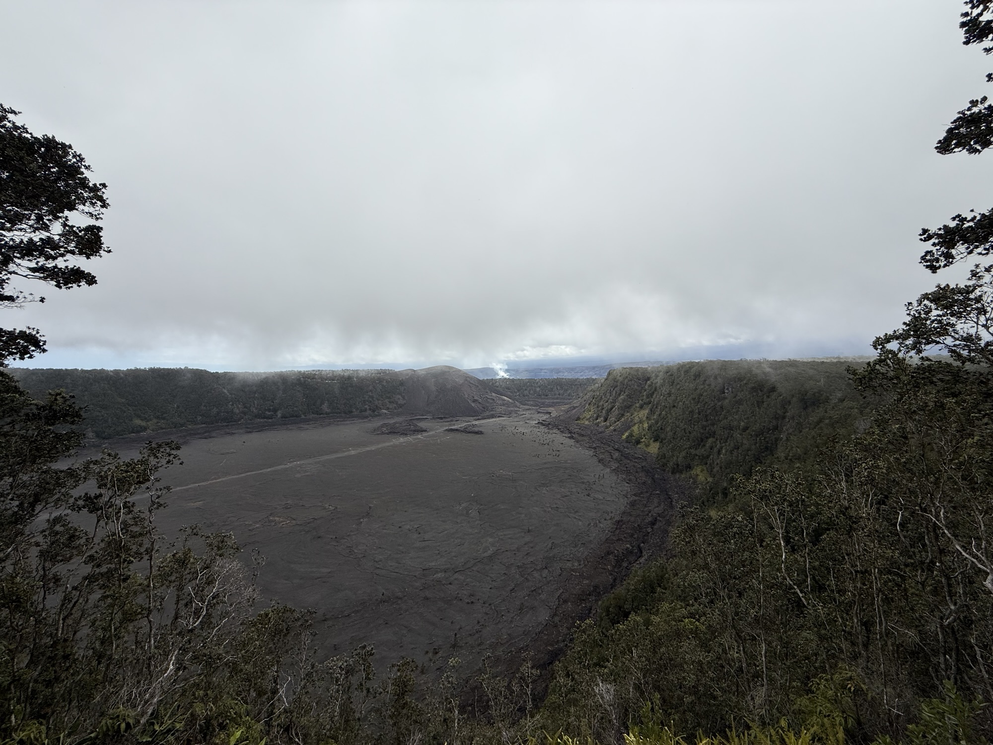
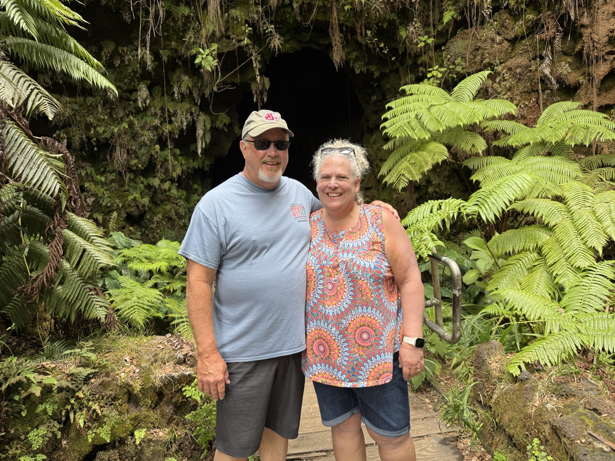
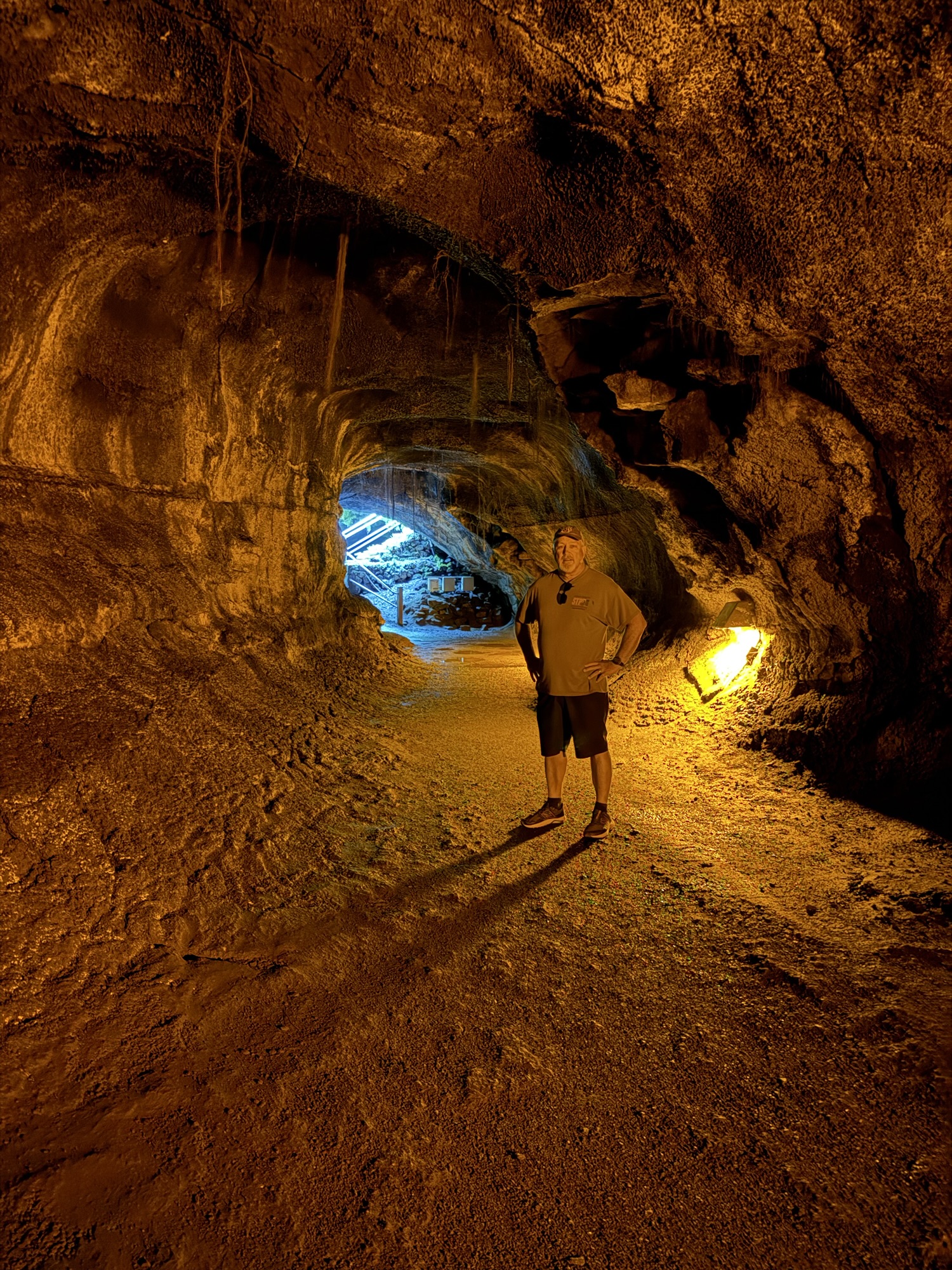
We hiked a short 1/2-mile trail to the Nahuku Lava Tubes (also known as the Thurston Lava Tube). It was eerie to descend the stairs and trail down to a literal hole in the ground that had vines and overgrowth surrounding the entrance. If you’re claustrophobic, you probably don’t want to do this! But if you’re not, I highly recommend walking through the lava tube! It’s dark and damp, and there’s puddles on the ground that occasionally is rough, and the ceiling is occasionally low, but it’s quite the experience. A lava tube is formed when a flow of lava cooled on the outside, but remained flowing on the inside, forming a tube like structure. This particular tube is short; it takes maybe 10 minutes to casually walk through, and is not as extensive as the tubes near Hana, Maui. But this is worth the visit. Nearby the trail to the lava tube, there is an alternate hike to the floor of the caldera. While it would have been super neat to explore the (safe portion of the) caldera floor, the ascent back up, with some portions labeled as a 54% grade, was more than we (namely me) were willing to undertake. Maybe future us will be better prepared.


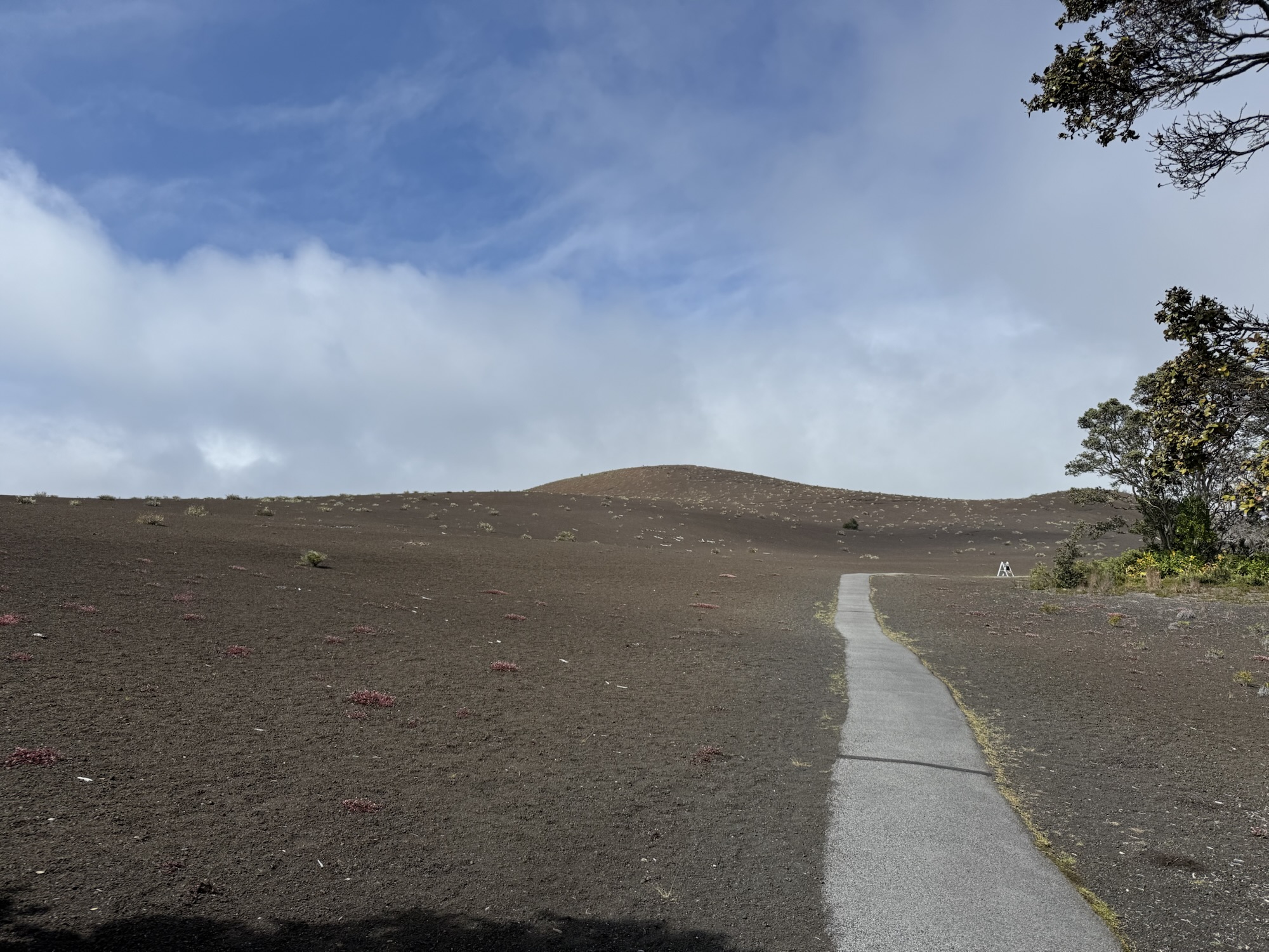
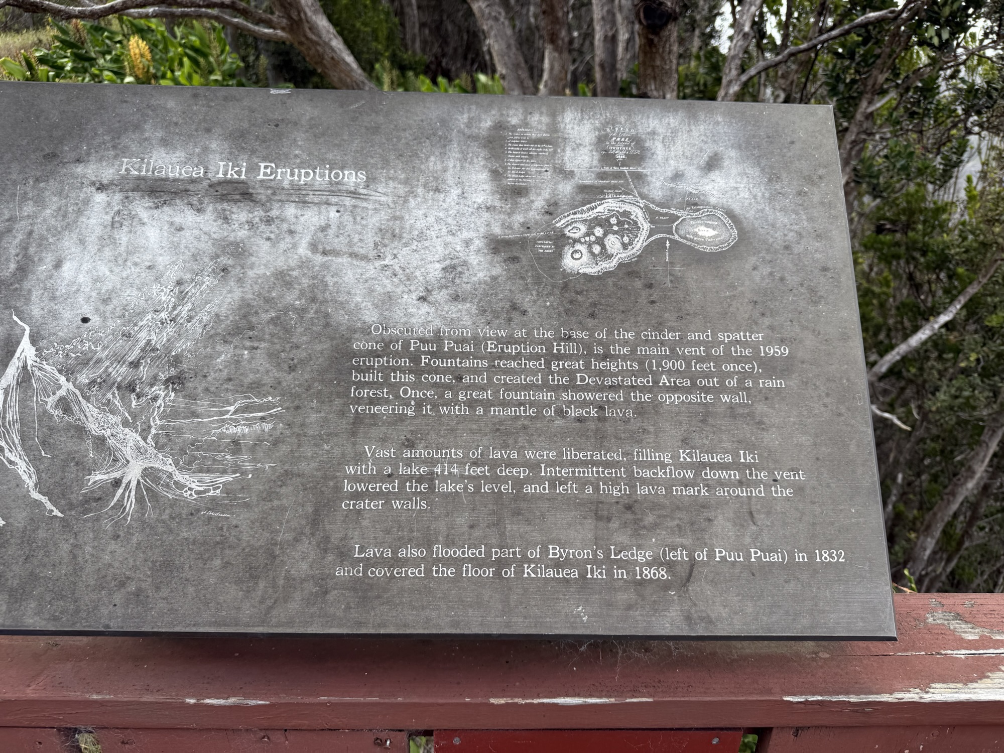
We then hiked the Devastation Trail to view the aftermath of the 1959 Kilauea Iki eruption. The blast of that eruption was so big that it incinerated a vast portion of jungle, and left behind barren land that is just beginning to recover. Interestingly, we could see glass portions of the rock alongside the trail that glinted and shimmered in the sunshine, almost giving a dew-like appearance on the rocks.


We drove the 19-mile Chain of Craters Road and saw a bunch of smaller craters and vast lava fields from various eruptions over the years, and lots of jungle areas. We stopped at a couple of view points (Mauna Ulu Lookout and an unnamed wide spot in the road). Both of these locations were so incredibly windy that the “loud environment” alert on my Apple Watch sounded to let me know that it was howling at over 90 decibels! The road culminates at the Holei Sea Arch view point. There was not a lot of parking at this view point, and there were more cars (and people) than it could handle. The parking lot is about 1/3-mile from the viewpoint. It looks like at some time in the past you could drive all the way to the view point, but I think this is a spot where the lava flowed over the road and into the ocean in the 2018’ish eruption. There are no trees or shade in this area, and even though it was a short walk, it was blazing hot on the asphalt road. The waves were really crashing hard on this stretch of the island against the the rock walls. The sea arch was frequently filled with water! As we drove this Chain of Craters Road, I found myself thinking and saying, “There’s just so much lava!”


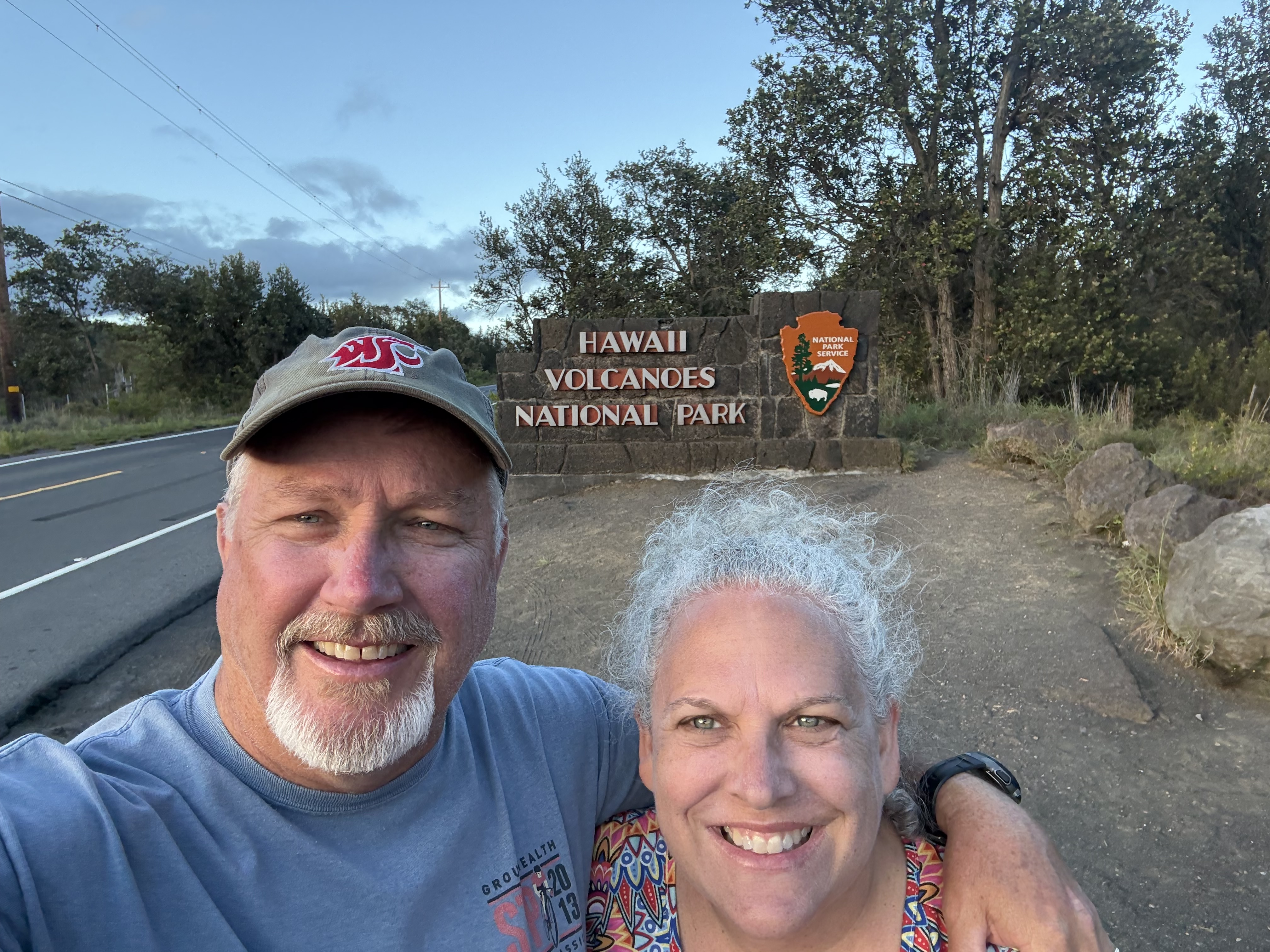
It was starting to get late by this point, and we were about 2.5 hours away from the condo, so it was time find our way back. Because we missed the stop for the sign marking the entrance to the park, we stopped on the way out for the “required” photo to document our visit. Jon humors me with silly things like taking a photo like this :)

This was a long, but very good day of exploring the island!
Tuesday, September 16, 2025
This was a slow day. We were pretty tired from the long day through the National Park and the associated hikes and driving, and had a late start to our adventures.
Mountain Thunder Coffee Plantation
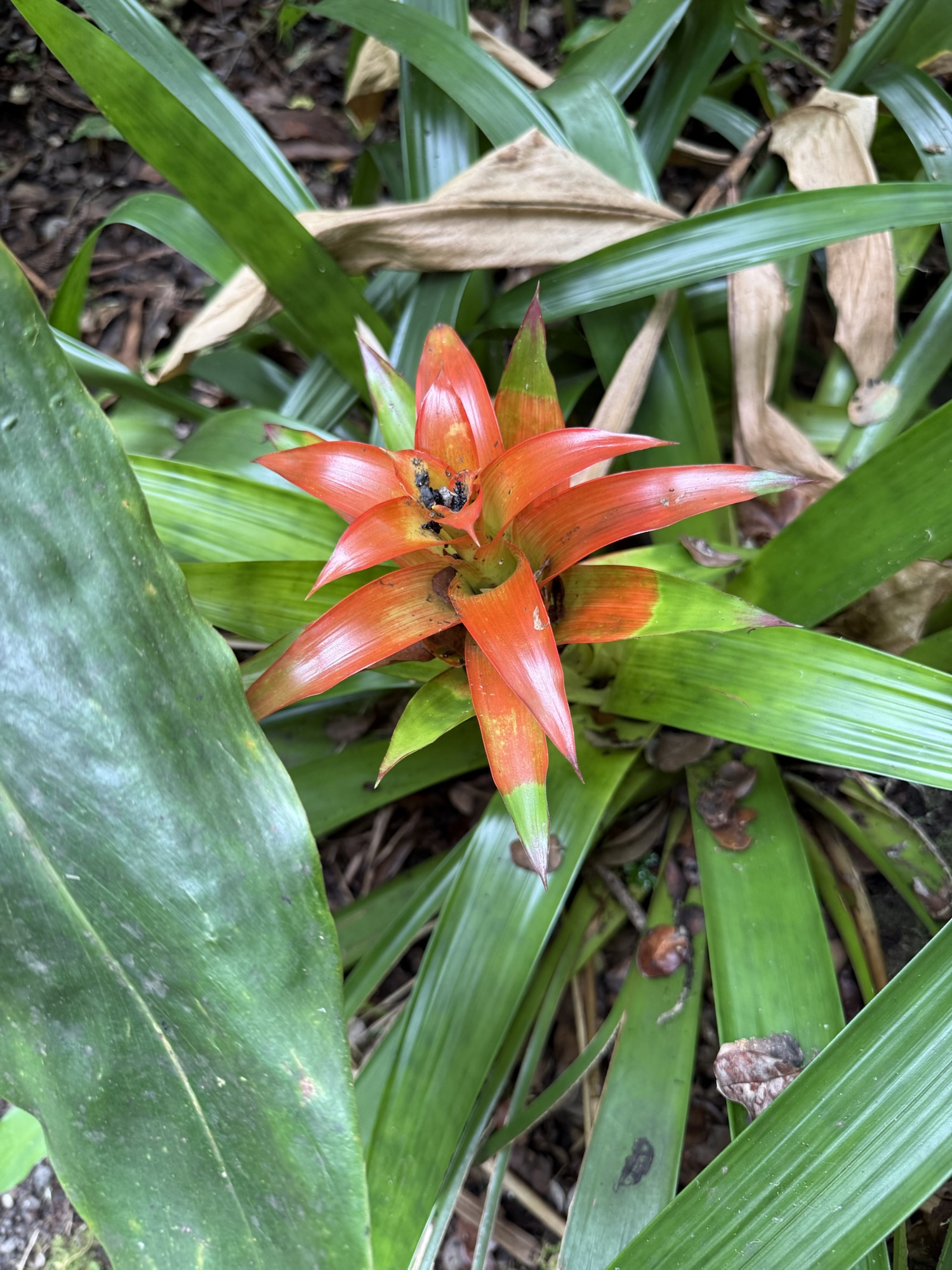
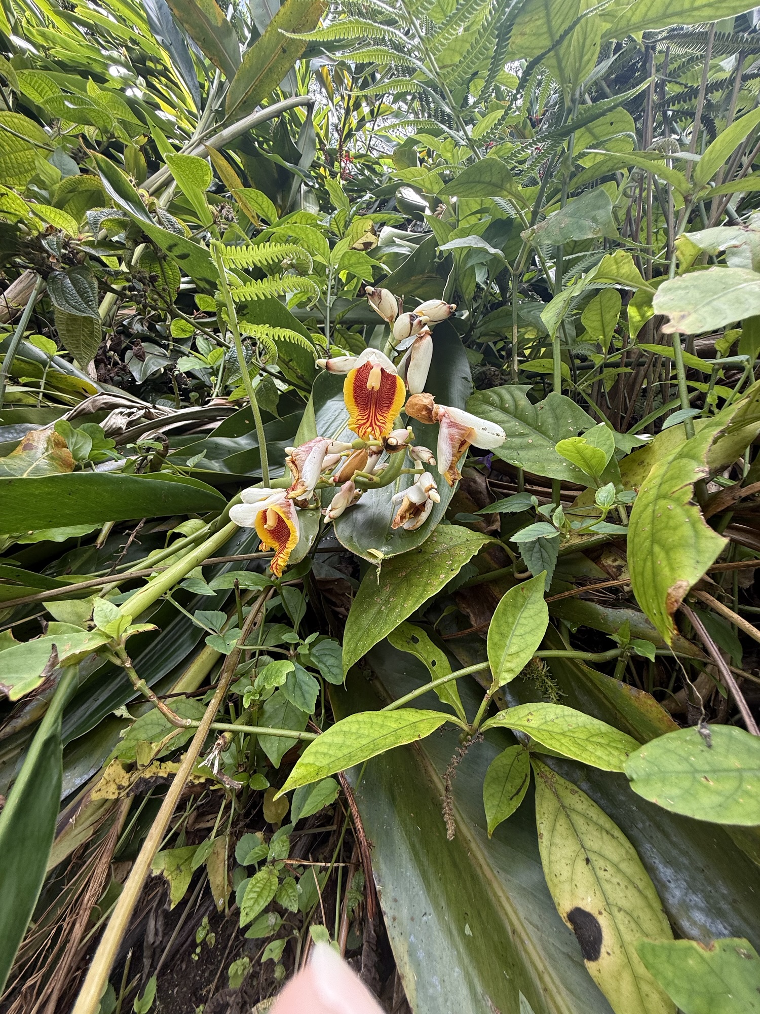
We decided to go “up” in our exploring, and headed to the “cloud forest” and visit Mountain Thunder Coffee Plantation. The cloud forest is a real thing! There is almost always clouds hanging on the top this mountain which has an elevation of well over 3000 feet, and it is significantly cooler and moister. This farm offers a complimentary coffee production tour, as well as a $5/person nature trail. The coffee tour was nice, although not as engaging as the one from Greenwell Farms. But this short tour did allow us to see their equipment. It was more an overview of the process and their organic certification, but did not dive into the minute details of the coffee and process like we heard at Greenwell. Mountain Thunder does offer samples of coffee, and has a nice gift shop as well. What I really enjoyed though was their nature trail! This short walk on a mostly paved and graveled trail starts at the gift shop, and concludes about 1/4-mile downhill at a patio with stunning views of the ocean overlooking the orchard. This walk takes you through a jungle-like garden with countless varieties of flowering plants and trees. They provide you with a guidebook to help identify some of what you see, as well as the history associated with the handful of lava tubes they have on site (no entry is allowed into the tubes). We don’t usually pay for things like this, but for just $10, I though it was worth it.


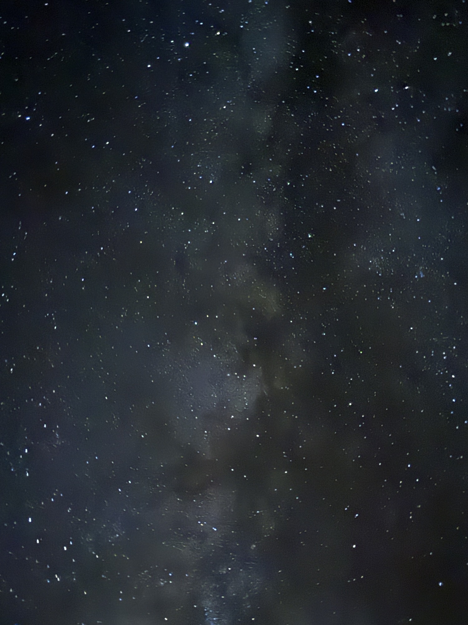
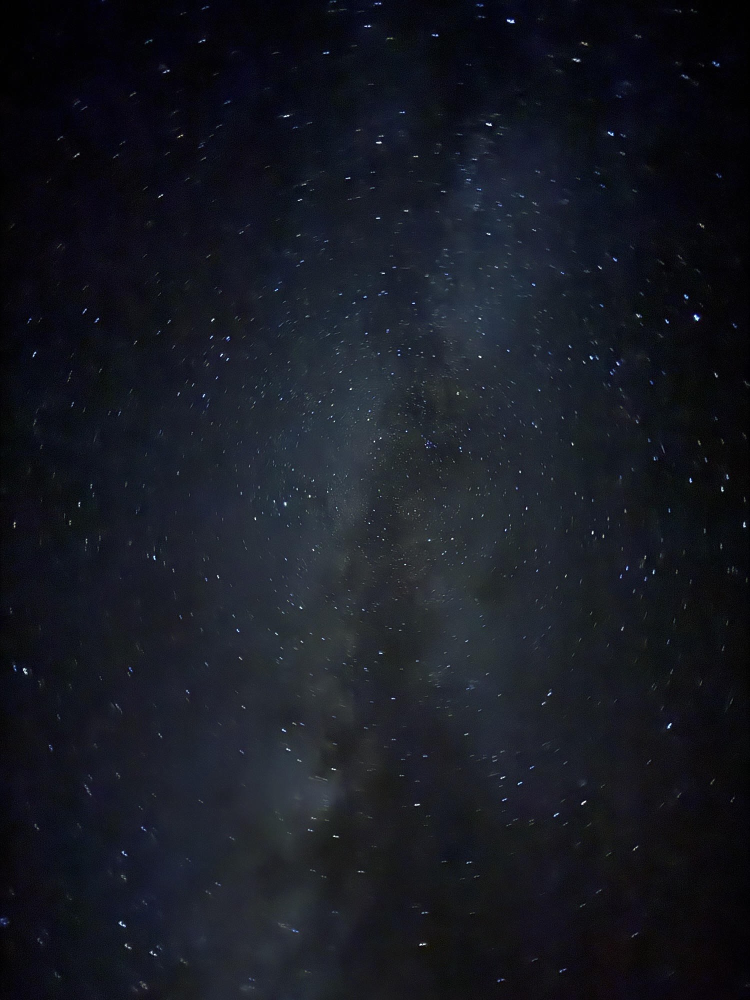
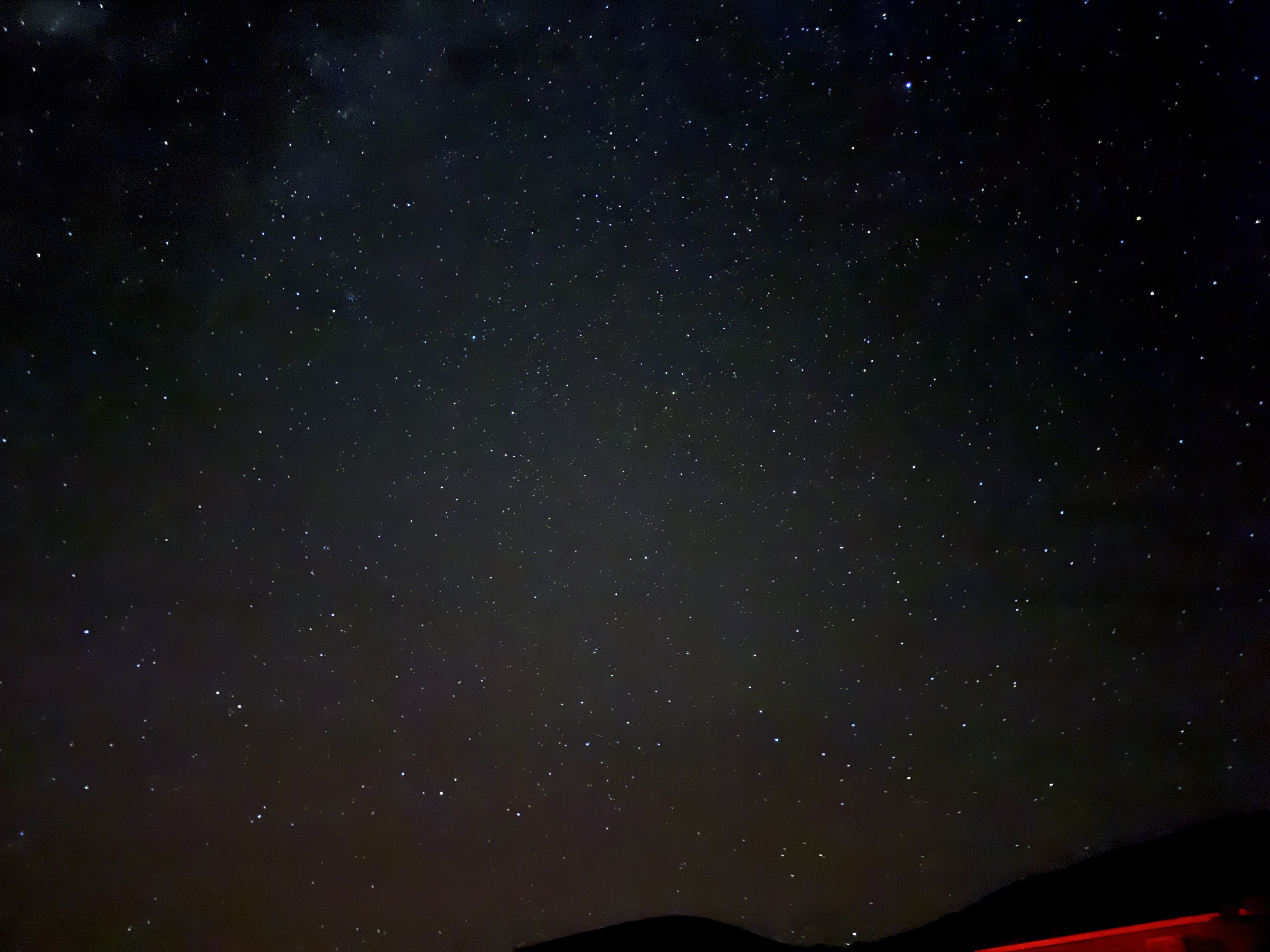
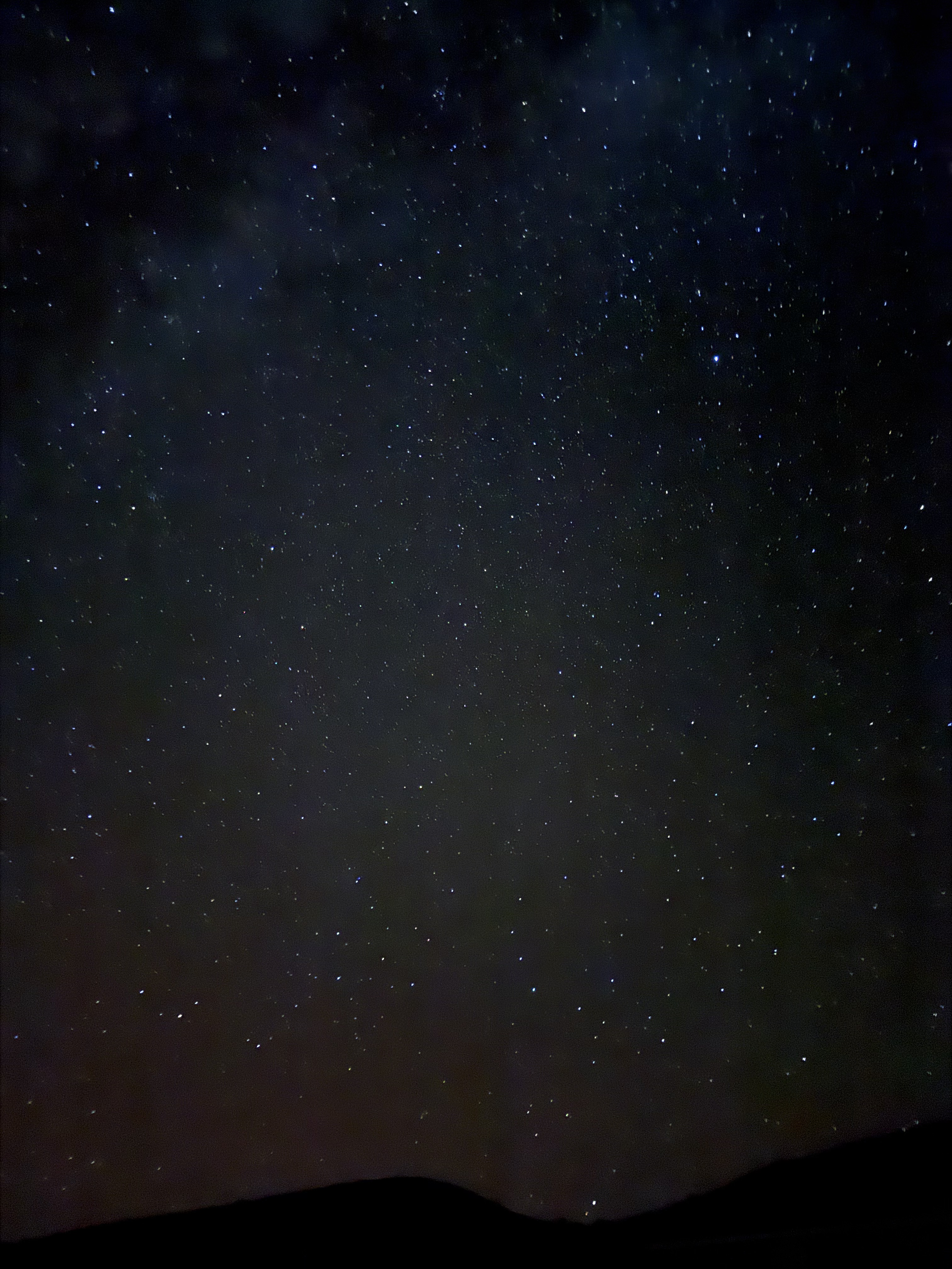
Mauna Kea Stargazing
We decided to venture up to the top of Mauna Kea, a dormant volcano and the tallest location on the island with an elevation of 13,800 feet. (For reference, Mount Rainier is 14,410 feet). There are a number of observatories owned and operated by various universities and research companies located at the top, and there is a visitor information center located at 9,200 feet. The public is invited and encouraged to visit! It’s an easy drive up to the visitor center, where everyone has to stop and acclimate for at least 30 minutes before continuing to the top. The road from the visitor center to the top is a narrow gravel road. We stopped at Safeway and picked up some sandwiches, chips and drinks with plans to enjoy a sunset picnic at 14,000 feet. Unfortunately, we got tied up at a 3-car collision on the highway leading to the turnoff to Mauna Kea that closed down all roads in all directions for over two hours. So instead, we ate our sandwiches parked on the highway, and catching the sunset over the horizon of the lava fields around us. When the collision was cleared, we continued on our way and arrived at the Visitor Information Center about an hour after sunset. Acclimating to that higher elevation is no joke! We had to park down a ways from the center, and the walk up just a slight incline left us feeling the pressure! We visited with the park rangers, and discovered that stargazing is no better at the 14K’ elevation than it is at the lower elevation. Given that it was extremely dark, it is a narrow road filled with switchbacks, and there was a steady stream of vehicles descending from the top, we decided to stay at the visitor center. A short time later, there was a volunteer-led astronomy presentation. He pointed out numerous constellations and shared the Hawaiian and Polynesian lore behind them. He taught us how the ancient seafarers navigated by the stars, and how there is a small group of native Hawaiians who are today trying to preserve that knowledge. Although it was about 54F, there was a brisk breeze on the volcano that made it quite chilly. We knew this was a location we wanted to visit, so had packed long pants and sweatshirts, but we were still cold! Being sunburned and windburned from being out in the elements the previous few days probably didn’t help. We hung out in the dark for a couple of hours, taking in the majesty of God’s handiwork. The Milky Way was shining bright, and we could see more stars than we had seen in a very long time (including in Alaska, as it was cloudy pretty much every night, and “night” didn’t start until about 1:00 AM!). The drive back to the condo in the dead of night was filled with keeping watch for the feral goat herds that are all over the island, and for the “invisible cows” — the free range cattle that are known to show up in the middle of the roads near Mauna Kea.


Wednesday, September 17, 2025
We headed to the east side of the island with plans to visit some waterfalls and the Hilo Farmers’ Market. We took the highway towards Waimea and then on towards Honokaa. It was a beautiful drive as the road hugged the north coast shore on one side and the lush green jungle to other.
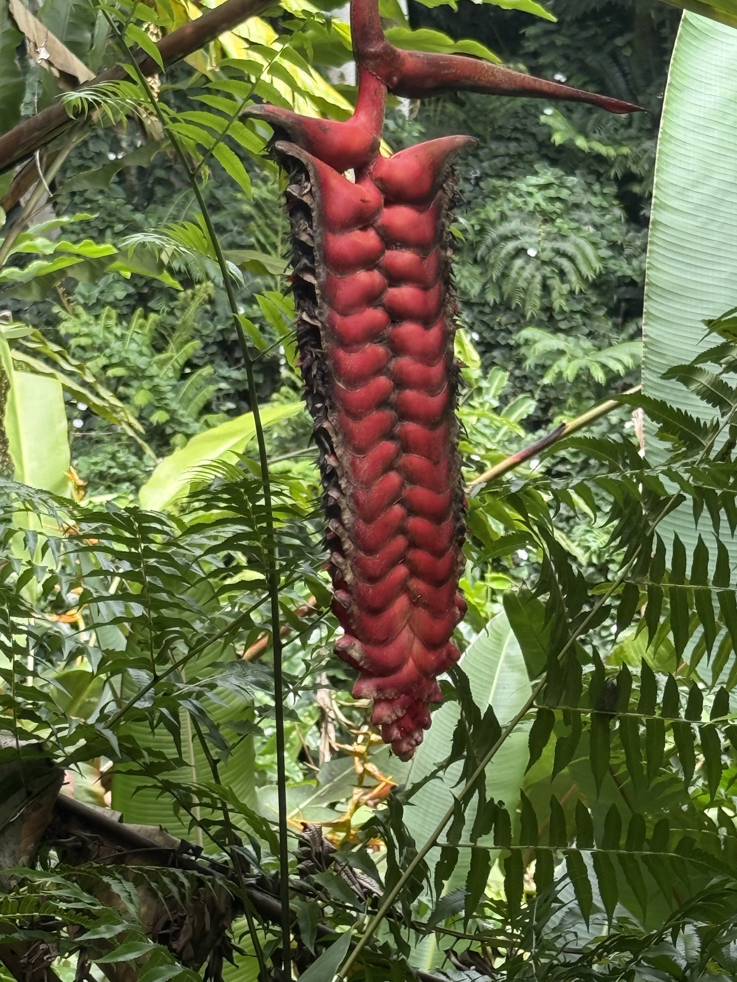
‘Akaka Falls State Park
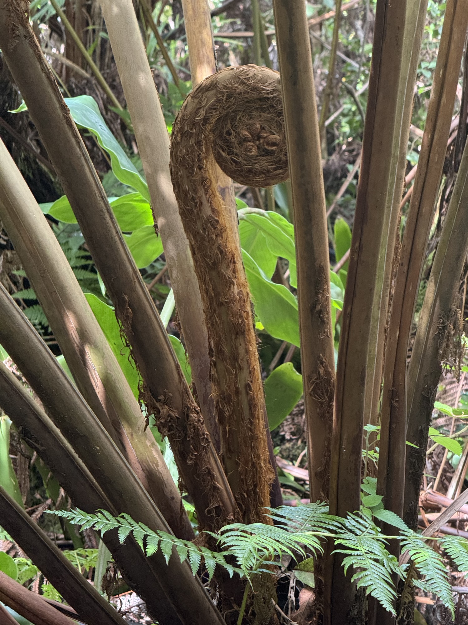
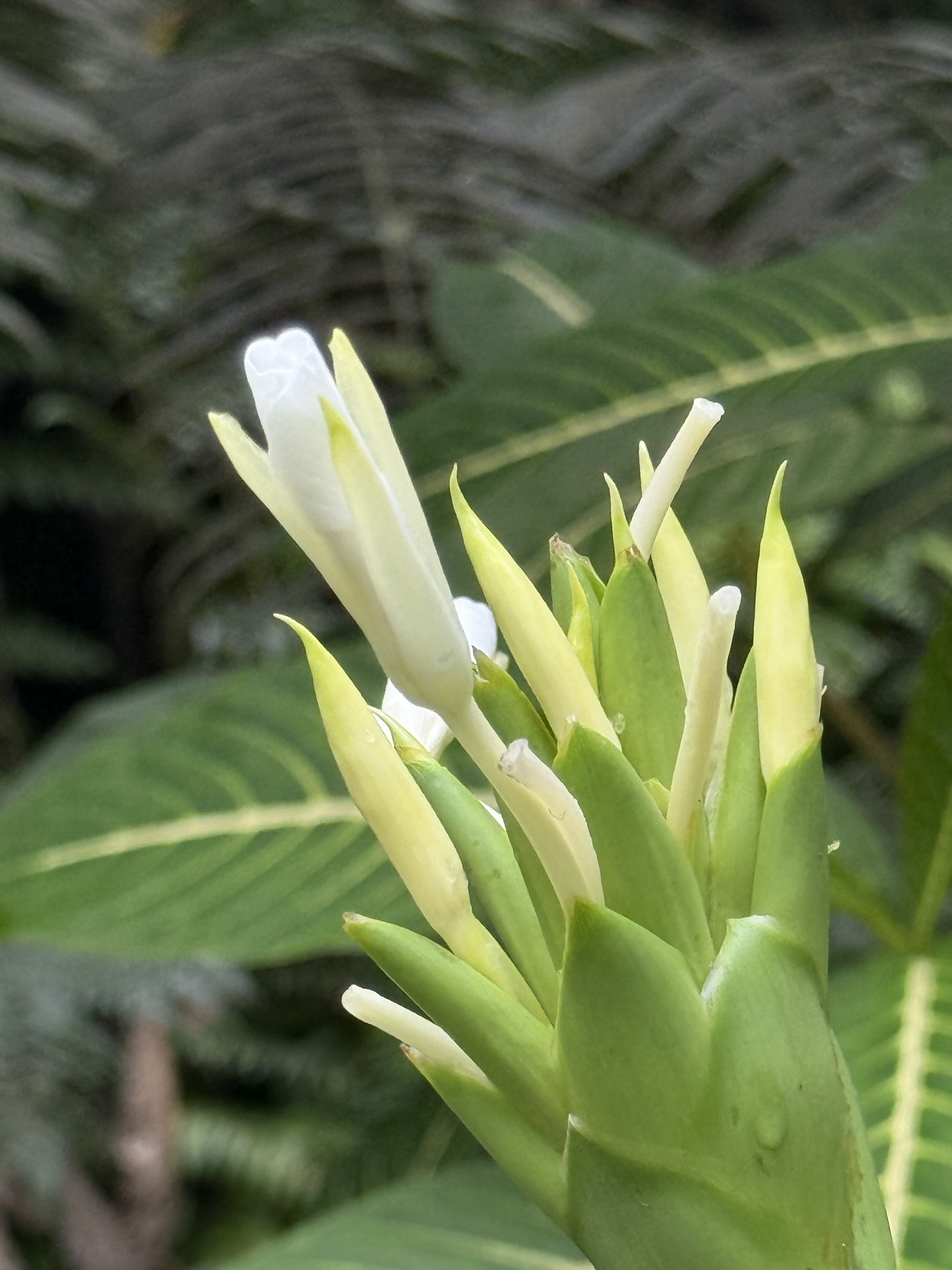
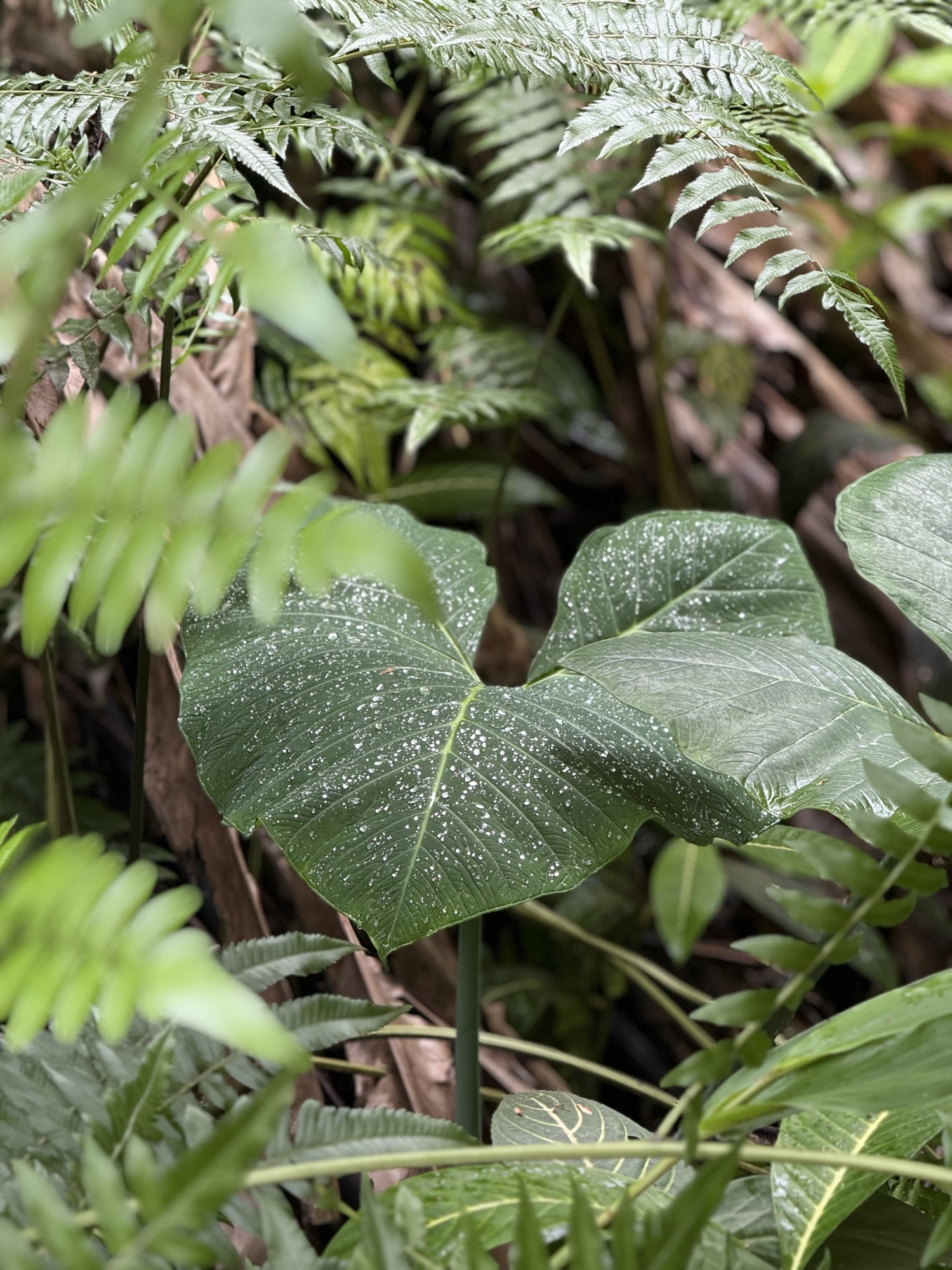
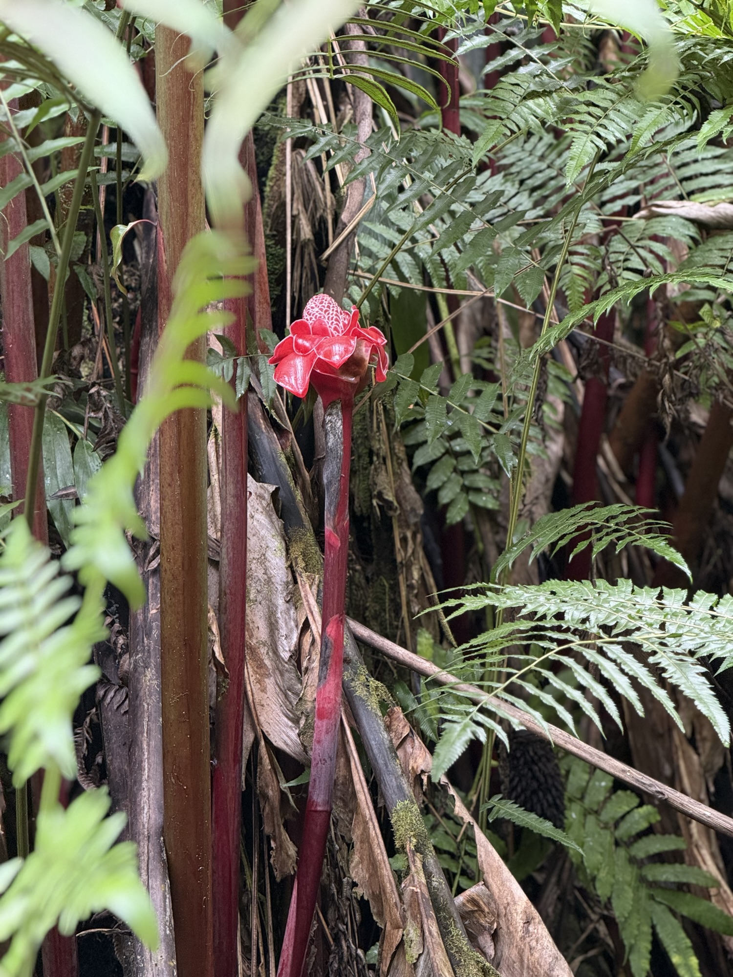
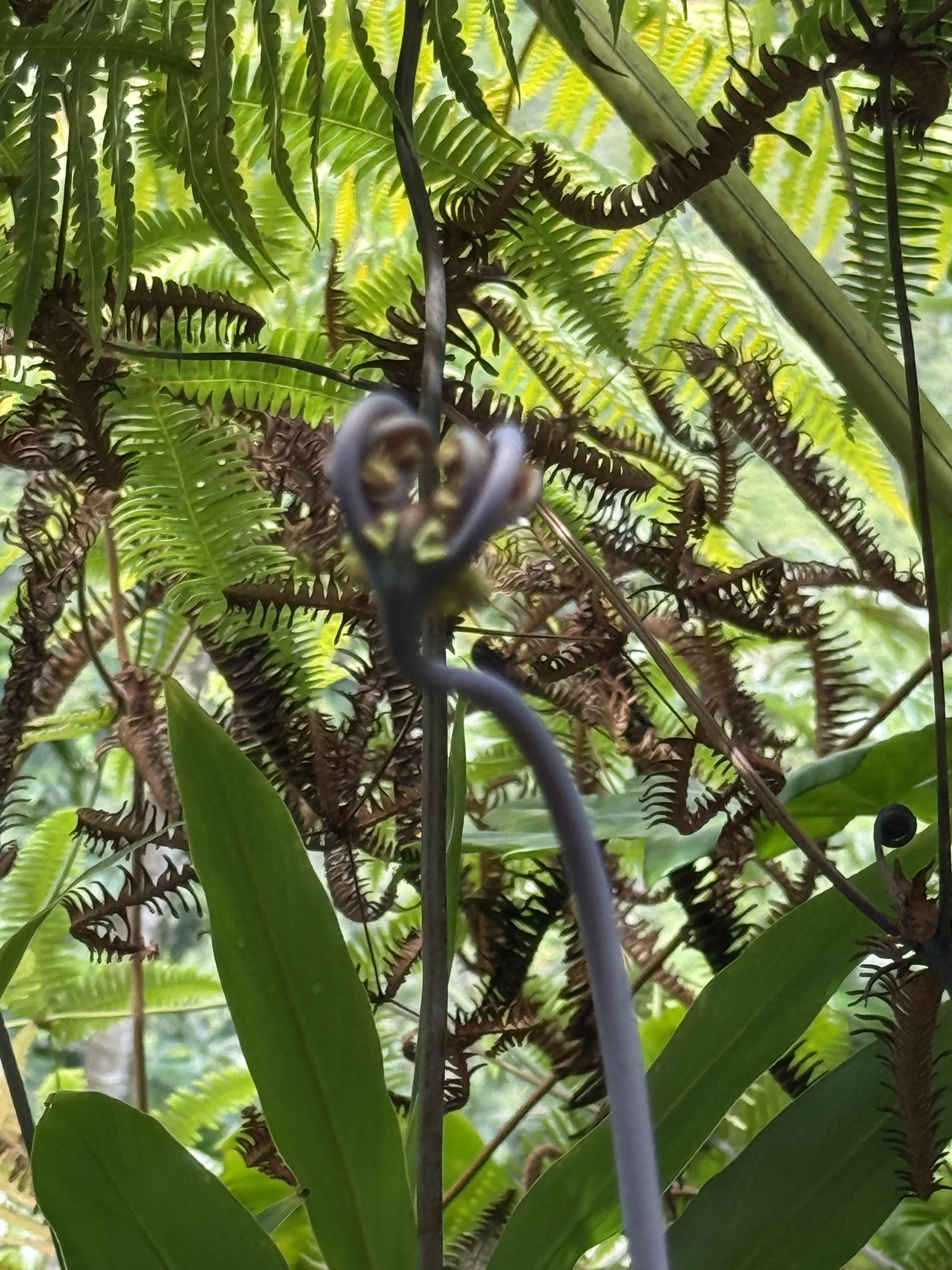
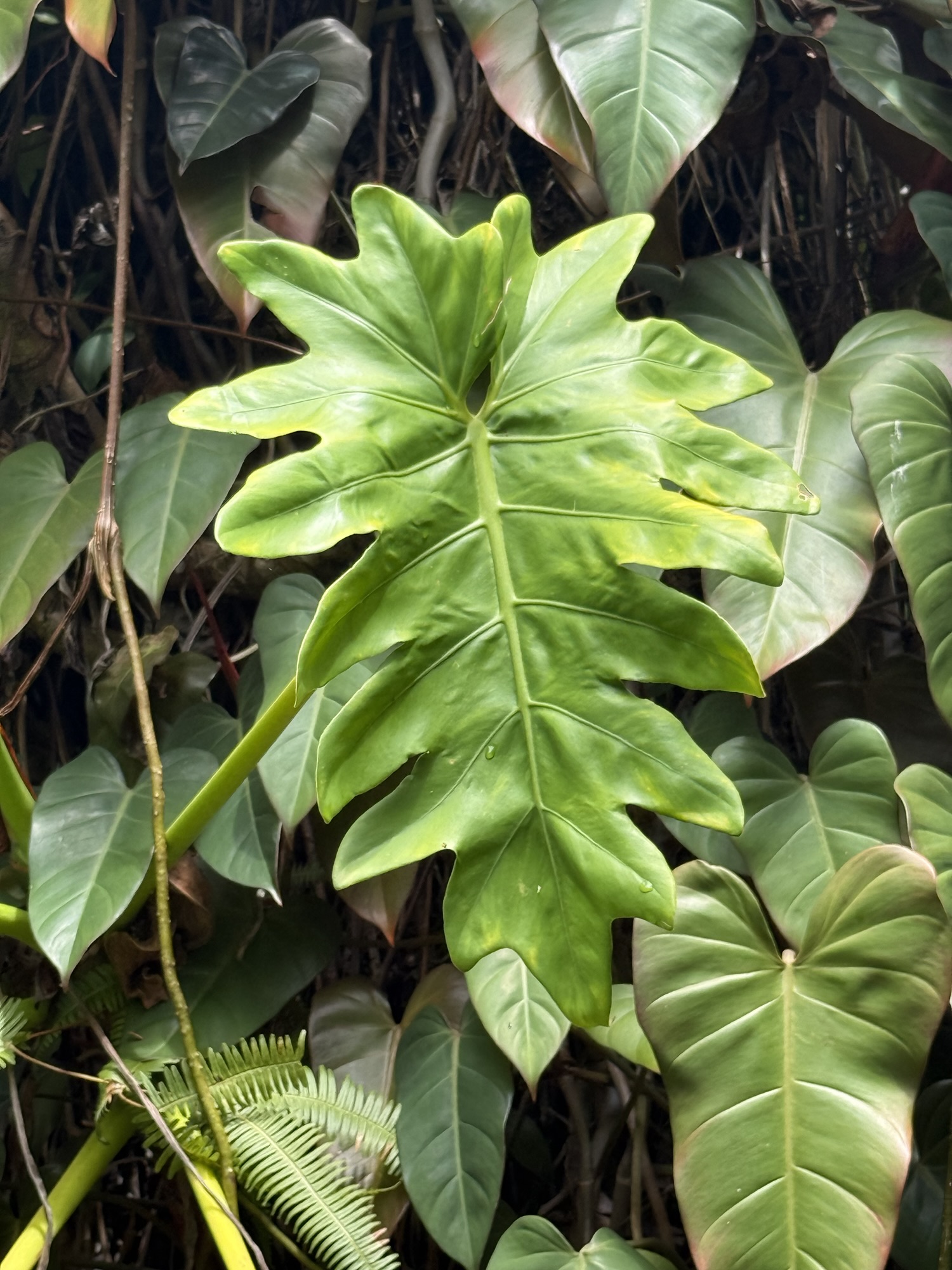
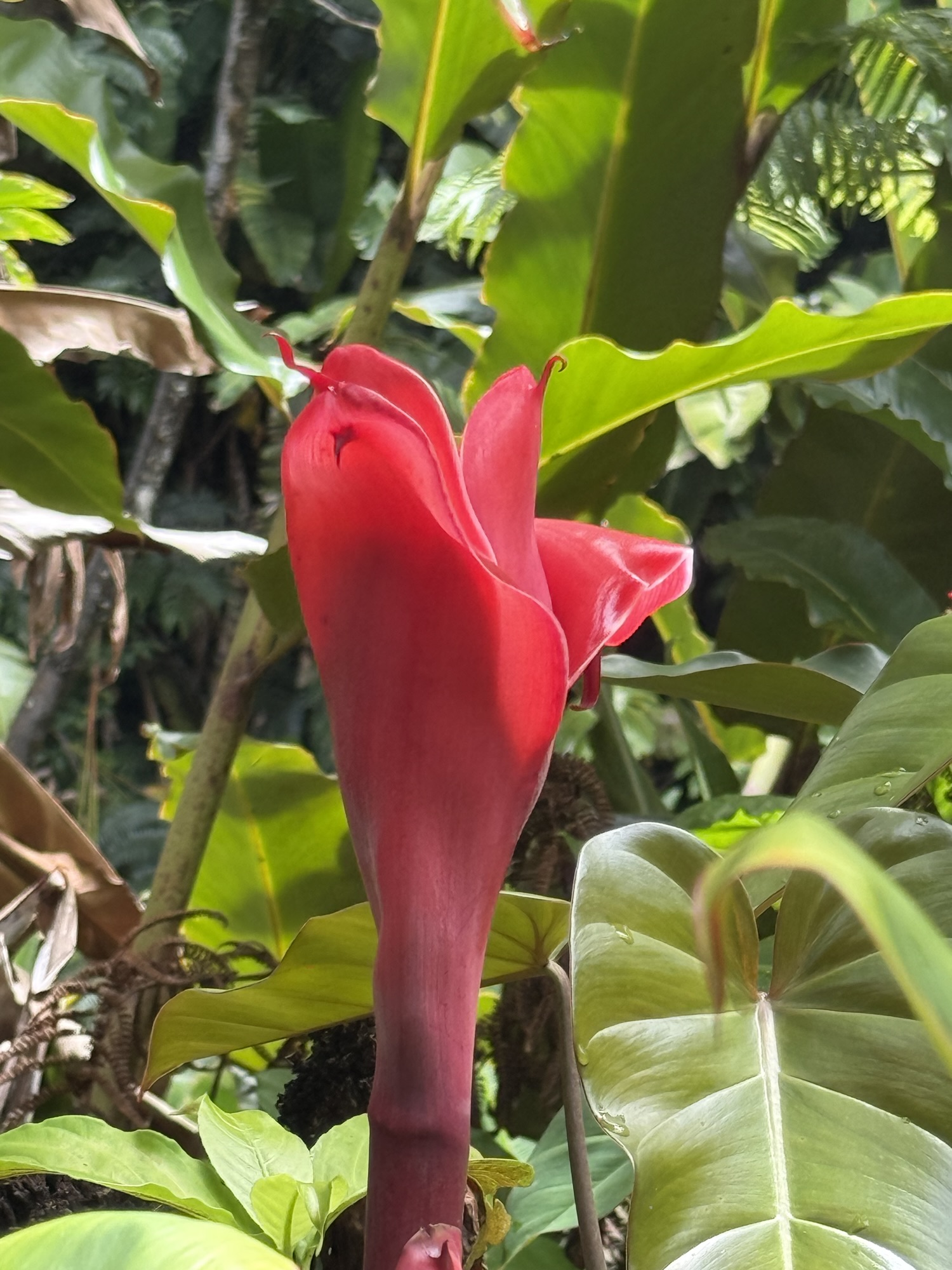
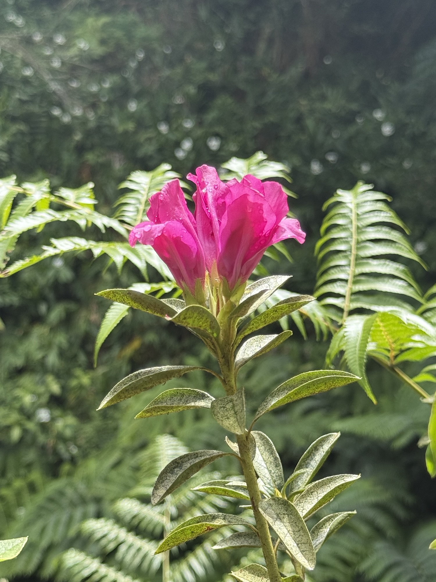
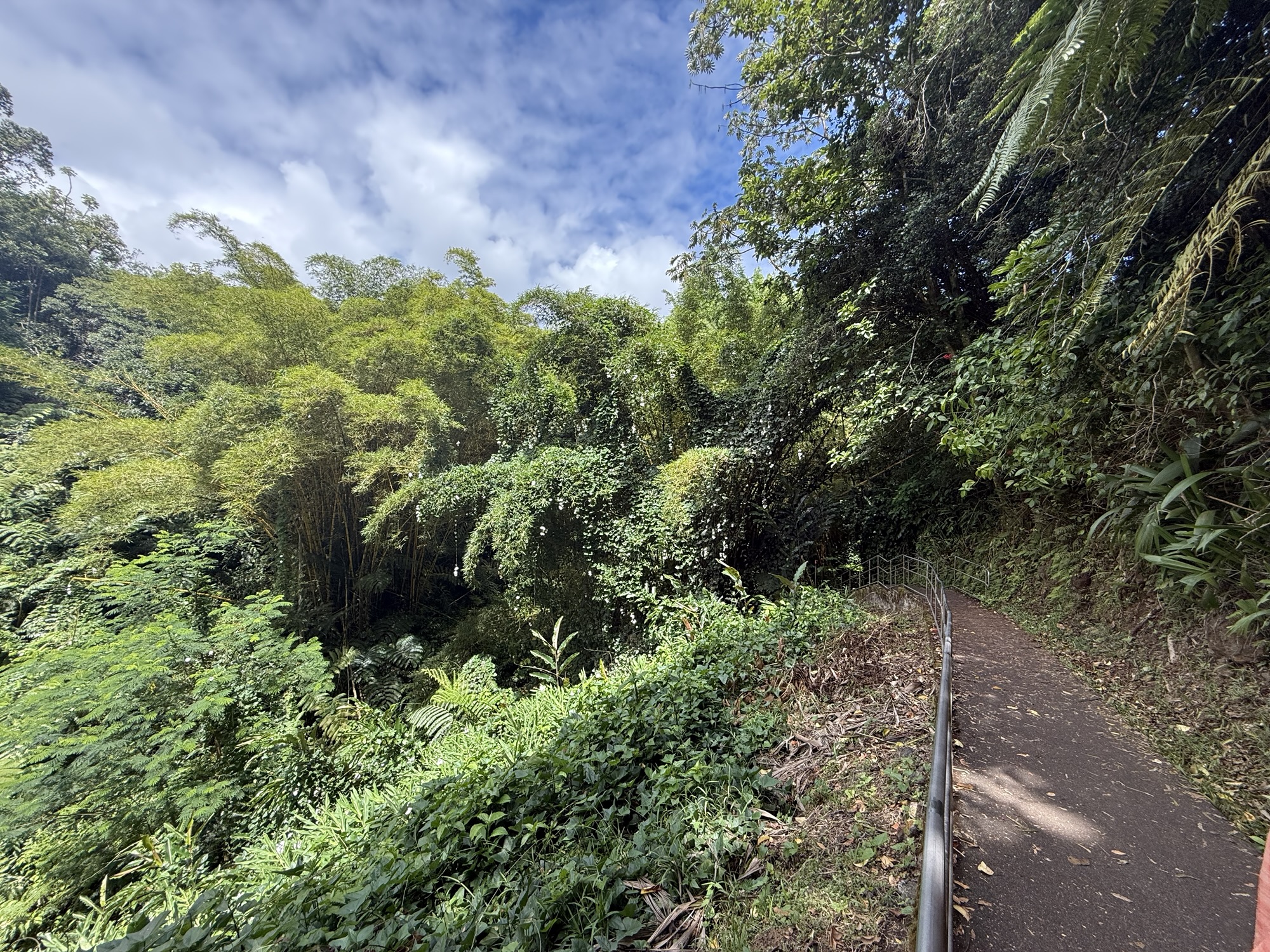
We had heard from friends and family that this waterfall was not to be missed. It was indeed pretty spectacular. I hadn’t done much research into this location and so was surprised to discover that we had to pay to enter the park AND to park the car. In hindsight, I guess it’s not any different from visiting the local state parks. It cost $5 each to enter the park, and $10 for the car, all plus tax. The trail looping to the free falling ‘Akaka Falls and the cascading Kahuna Falls was an easy walk with occasional sets of steps. The lush tropical vegetation had us stopping every few steps to admire not only the flowers but the plants themselves. The ferns in particular were the largest we had ever seen, with fronds stretching up to 15 feet. I felt like I was in “Honey I Shrunk the Kids”! The 442 foot tall ‘Akaka Falls is graceful and serene, and unfortunately makes the nearby Kahuna falls pale in comparison. Walking along the trail through the jungle, my thoughts kept returning to “I wish I could stay here.” It was just so stunningly beautiful, and photos don’t do it justice.


Hilo Farmers Market
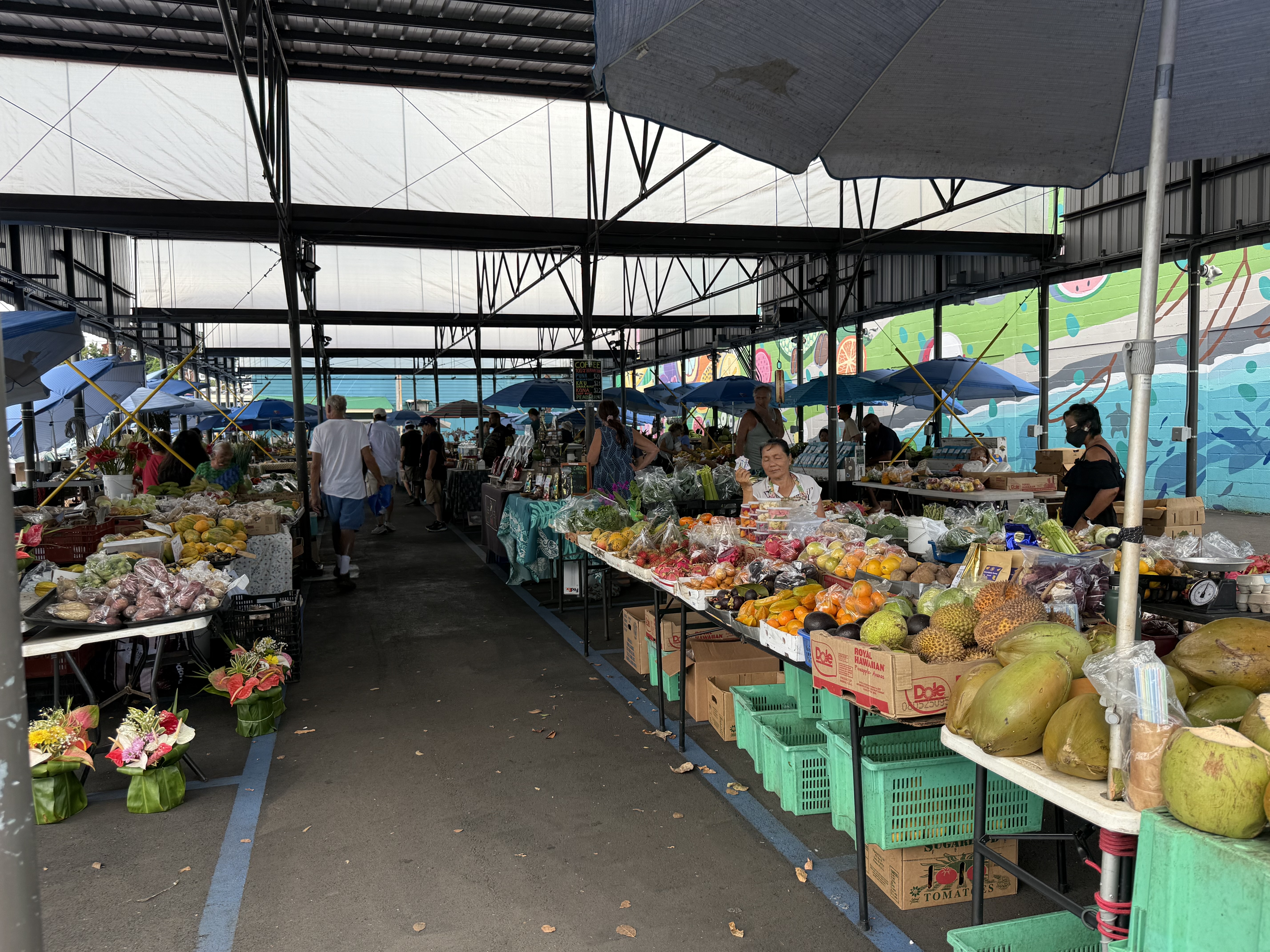
We headed on towards the Hilo Farmers’ Market, with a brief jaunt down a scenic drive down the Onomea Scenic Drive, a four-mile byway through dense jungle foliage, over historic single lane bridges, and with occasional stunning glimpses of the ocean. This was a pleasant find and a spur of the moment decision (literally…we saw a sign, and made an immediate left turn). We easily found the Farmers’ Market in town, and was on the search for free parking, which was found about 3 blocks away. The market was busy, and had small walkways between the rows of vendors. There was a LOT of fruit vendors, and we were wishing we had come the previous week so we could have enjoyed some fresh fruit during our stay. I sampled some flavored teas, which were really good, but expensive. We both sampled some fudge and candy , and couldn’t resist taking some home with us! Some of the vendors were a bit aggressive, which was uncomfortable as we strolled by. There were two pavilions of crafts and wares vendors. Lots of t-shirts, jewelry, and other touristy trinkets. I did buy an embroidered honu hat for my brother. There were some unique vendor booths, like UpCycle Hawaii, who collects various plastic wastes from the around the island, and then melts it down into things like make up bags, key chains, earrings, etc. This gal is passionate about cleaning up the island, which is an admirable goal. As we chatted with her, I mentioned that we had noticed that there seems to be a lot of trash just dumped alongside the roads, all over the island. She said it made her very sad to know that we as visitors to the island had noticed the situation! We ate lunch at a market shop, Poke & Sides, enjoying yet another plate lunch of kalua pork, mac salad, and rice. It was good!


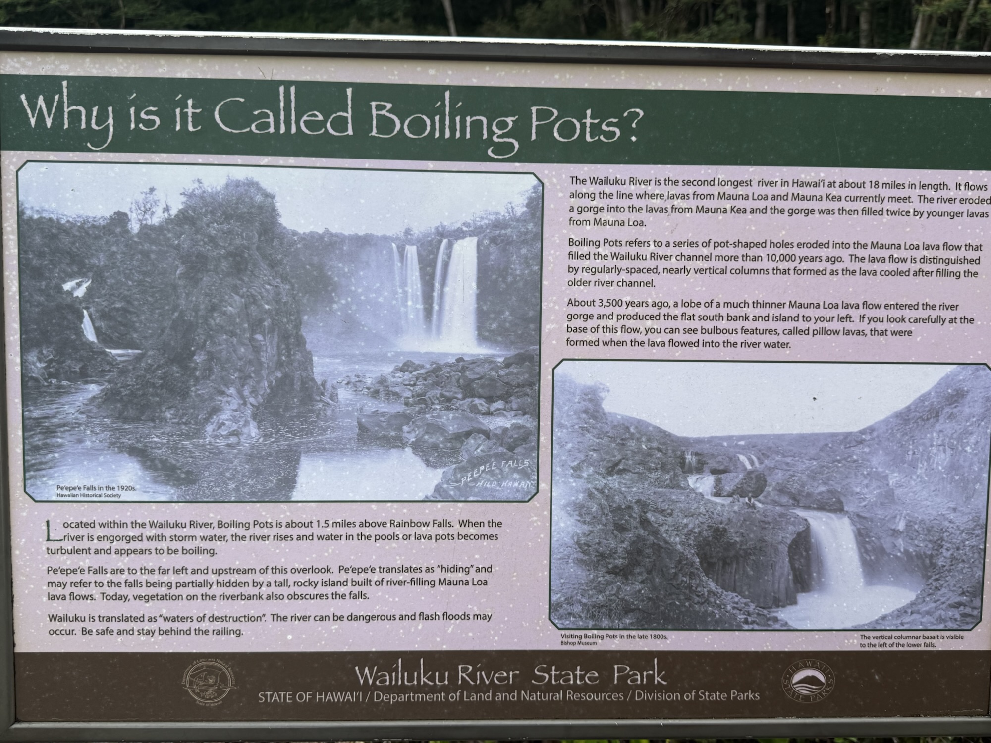
Rainbow Falls & Boiling Pots
After leaving the farmers’ market, we visited Wailuku River State Park, specifically Rainbow Falls and the Boiling Pots. There wasn’t enough sunshine for the falls to live up to its name, but it was still an impressive waterfall! There was an interesting interpretive sign at the park, telling a story of Hawaiian lore about the moon goddess Hina, her son demigod Maui, and a terrible giant lizard named Mo’o Kuna, and the call to the goddess Pele for assistance. A short distance up the road is the Boiling Pots, which were created, according to lore, by Pele hurling molten lava rocks into the river reveal the hiding place of Mo’o Kuna, allowing Maui to kill the giant lizard. Despite there being several warning signs about the dangers of venturing into the river at the Boiling Pots due to unpredictable water currents in the bowls, we still saw someone venturing out into the middle of the river via the rocks, posing for the “perfect” social media shot, undoubtedly.


Volcanoes National Park Bonus Stop
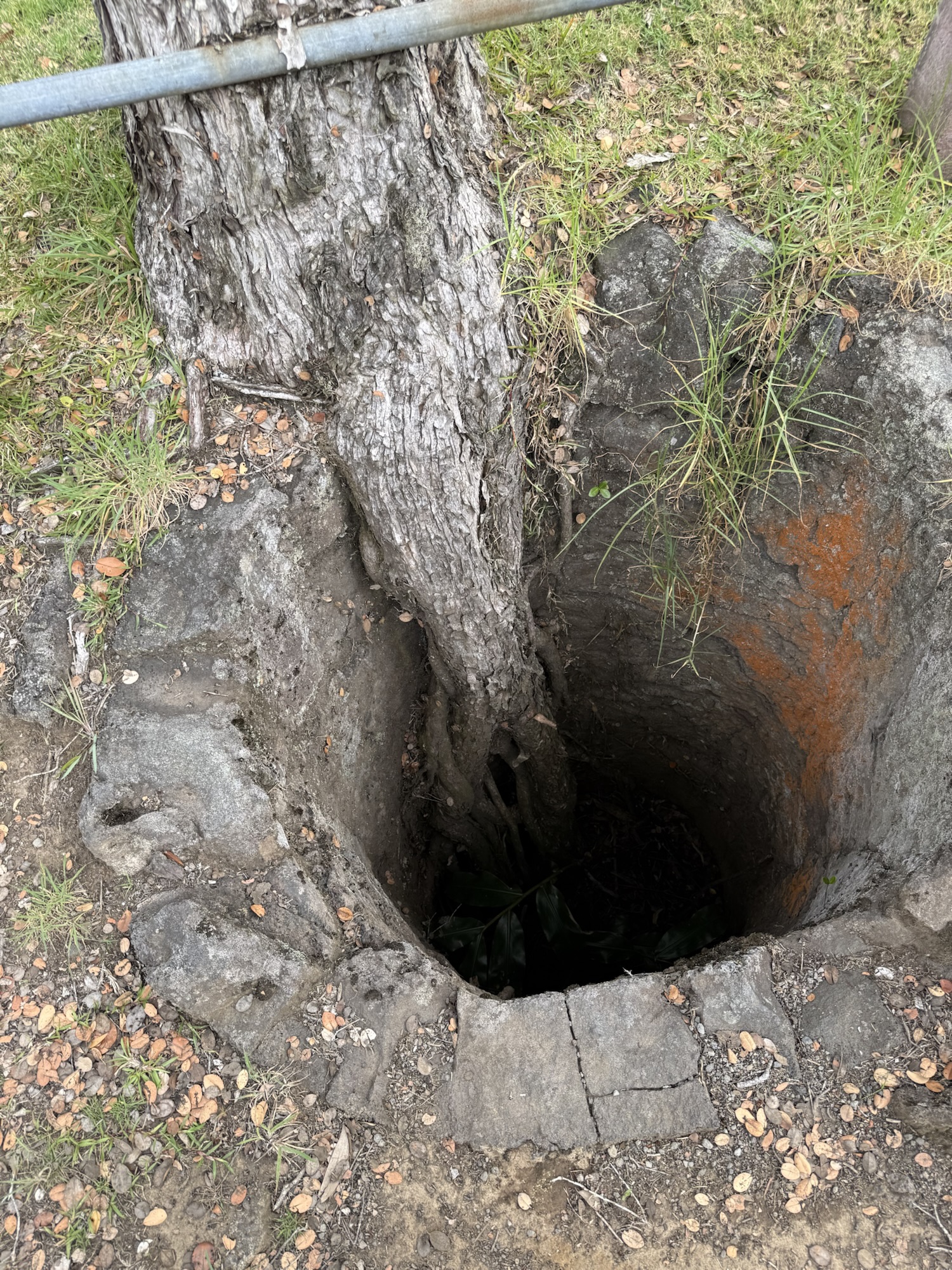
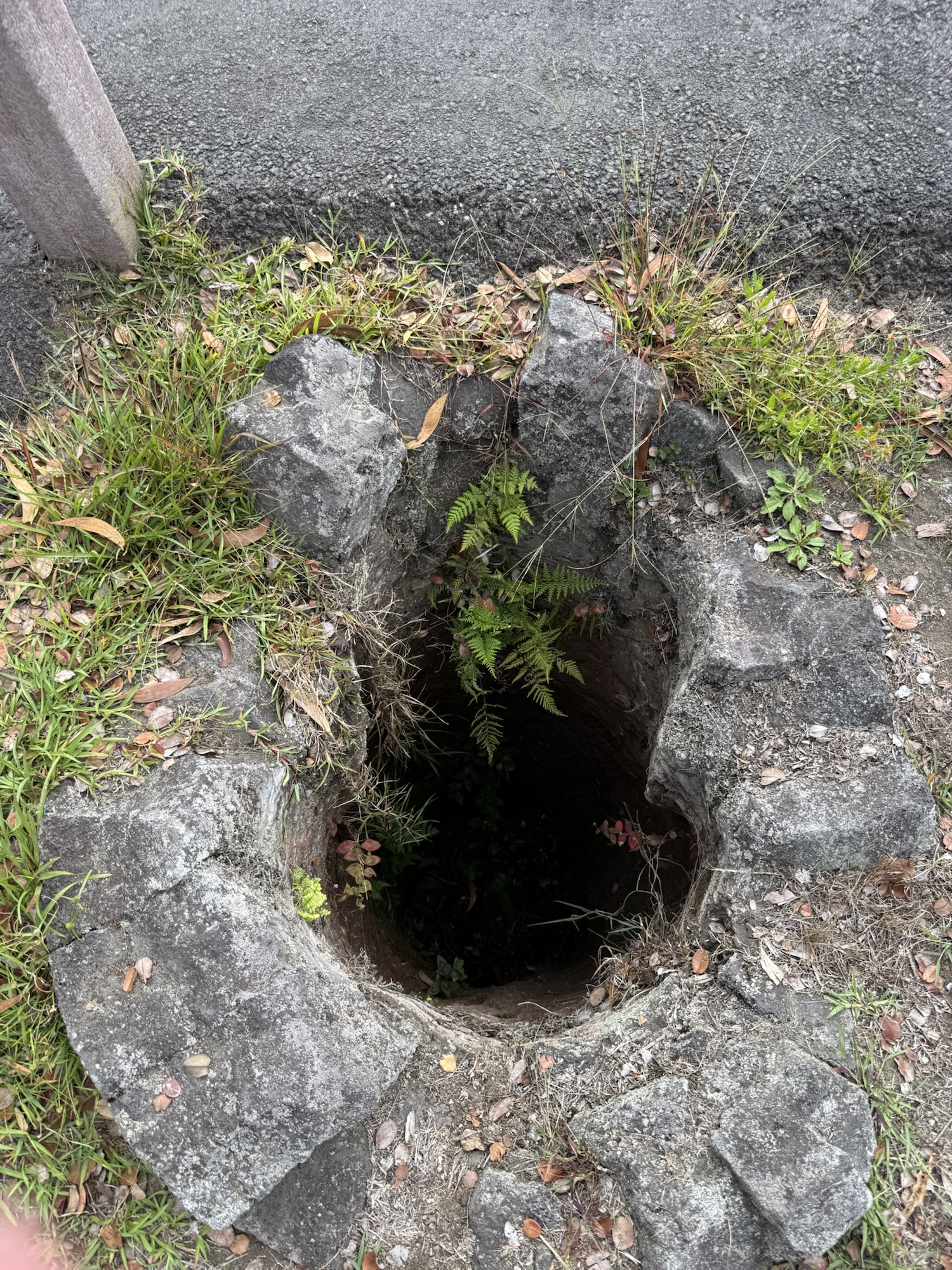
It rained hard as we left Hilo and began the long drive back towards the condo. But, we decided to stop at the Mauna Loa Lookout in the National Park since it was *kind of* on the way back to the condo. Unfortunately when we arrived, the road was closed due to an increased fire hazard. Oh well. Instead, we stopped at the lava tree molds just down the road. These tree molds were made when hot lava flowed around the trees, yet the trees did not immediately incinerate. Instead, the lava cooled around the tree, and then the tree burned, leaving a tree-shaped hole in the ground! Yes these are just holes in the ground next to a golf course, but it was still incredible to think that the trees stood long enough for the lava to cool around them leaving these “fossils.”

End of another long day
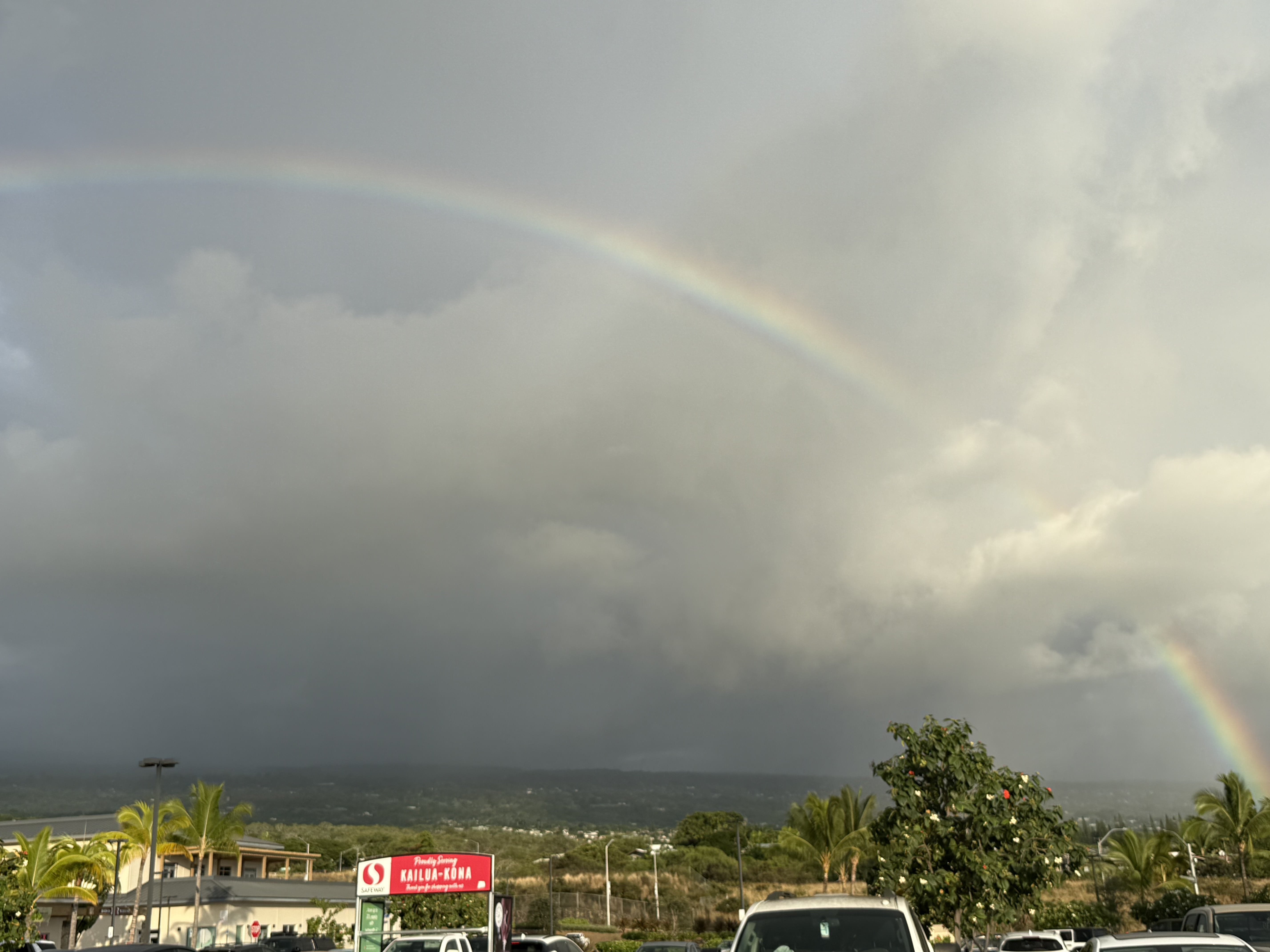
By the time we got back to near the condo, it was getting late, and we had yet to eat dinner. We stopped at Safeway to pick up something easy to eat. As we walked into the store, a full arc rainbow appeared towards the mountain. We remarked to another obvious-tourist couple standing in the parking lot asking why do they always show up when your in the grocery store parking lot?! They laughed and agreed that’s when it happens! It was almost time for the sunset when we got back to the condo, so we stashed the groceries, and walked down the street to a small beach, just barely in time! But it was a beautiful sunset to wrap up yet another full day.


Thursday, September 18, 2025
Saying goodbye to the Island
It was a slow morning as we prepared to pack up and leave the condo. We spent the early morning taking in the glow of the sunrise, what we could see of it beyond the other side of the complex, and enjoying the morning bird song and the balcony gecko. We finished off most of what was left of our groceries, and packed up our stuff to make the 11:00 AM check out time. We had also made arrangements to meet up with Ofa Oholelei to purchase a tapaglyph. He was going to be at the Kona Farmers’ Market just down the street on Ali’i Drive near the public library. As expected there was no available free parking nearby, and we were reluctant to pay $14 for just a short stay at the nearby paid parking. So Jon dropped me off while I ran into the market to meet Ofa. As I was walking around looking for his booth, I received a text from him indicating he was delayed by about 30 minutes. I flagged Jon down, and we drove around killing time. There was still no free parking, so Jon dropped me off again, and I eventually was able to track down Ofa and purchase the tapaglyph. We had a lot of time to kill before our flight later in the evening. It was too hot to just go sit on a beach, which would have left us sticky-sweaty and sandy for an overnight red-eye flight. So we went to Costco and wandered around for a while. We were surprised to see so many things were at the same price point as at our local Costco! This warehouse, though, had a great deal on souvenir type snacks (think: Mauna Loa chocolate covered macadamia nuts and Honolulu Cookie Company shortbread cookies) and aloha shirts.We were seriously tempted, except our (carry on) suitcases were already overfilled, and because our flights were two separate reservations there was no easy way to check a bag; even though we considered buying a suitcase just to fill with these goodies! Common sense returned and we left without any of the snacks (sorry kids). We found a nice local restaurant, Pine Tree Cafe, and enjoyed a leisurely lunch of teriyaki chicken and teriyaki beef plates. What can I say, we like Hawaiian plate lunches! We made a couple other stops to pick up some last minute small souvenirs, and then returned to Costco for smoothies and to fill up the rental car with gas. SIDE NOTE: Gas at both Costco and Safeway was *just* $3.75/gallon all week long. Meanwhile, gas back home was hoovering around $4.25/gallon. *thanks Washington State tax fiends!* We returned the rental car, and made our way to the airport. The security line was completely empty (surprise!!) and we literally breezed through. Because the place was nearly empty, we visited both the Hawaiian Airlines and Alaska Airlines courtesy desks to see if there was any way we could get our suitcases checked all the way through to Pasco. But, because we had multiple reservations (one leg of the trip was made using miles, and the other leg was made with a voucher from our canceled flight in Kauai last year), and we were flying two different airlines, they were unable to do this. The best that could happen was for bags to be checked through to Seattle, but then we’d have to go to baggage claim, and then go back through security to catch the flight from Seattle to Pasco. Our flight out of Kona to Honolulu ended up being delayed by about 30 minutes, and we were afraid we would miss the connection, but it all worked out. Unfortunately, though, there was a long list of stand-by passengers in Honolulu and we ended up with someone sitting between us on the overnight flight to Seattle, resulting in neither of us getting much sleep. With a couple hours in Seattle, we had the chance to get some breakfast and coffee before finally arriving back in Pasco shortly after noon, and being greeted by grandkids … the reason we always find our way back home.


All photos and text ©️jennypage2025


Leave a comment